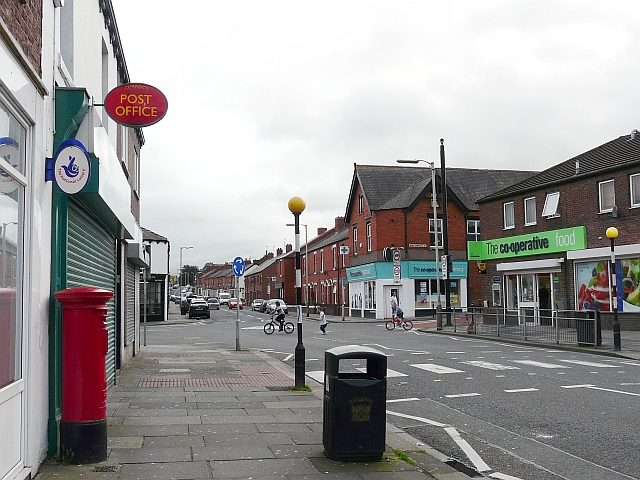
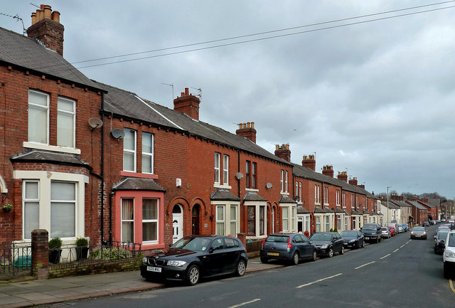
Currock
Currock is a suburb of Carlisle, located to the east of the River Caldew and about 1 mile south of the city centre. Old documents refere to it as 'Currick'. Currock House became one of England's first community centres in 1934.


from Geograph (geograph)
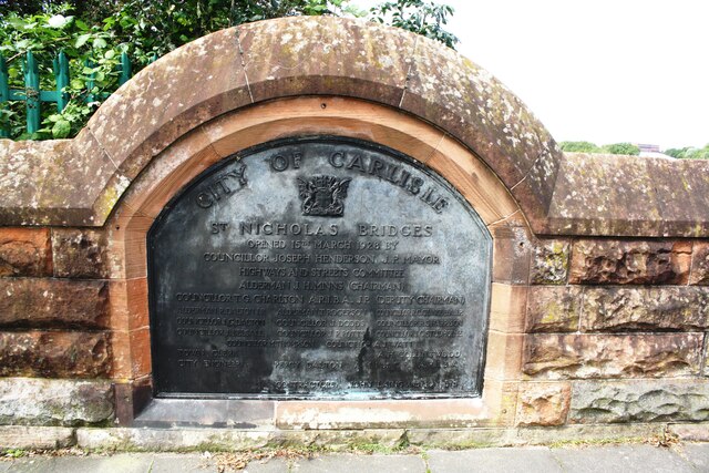
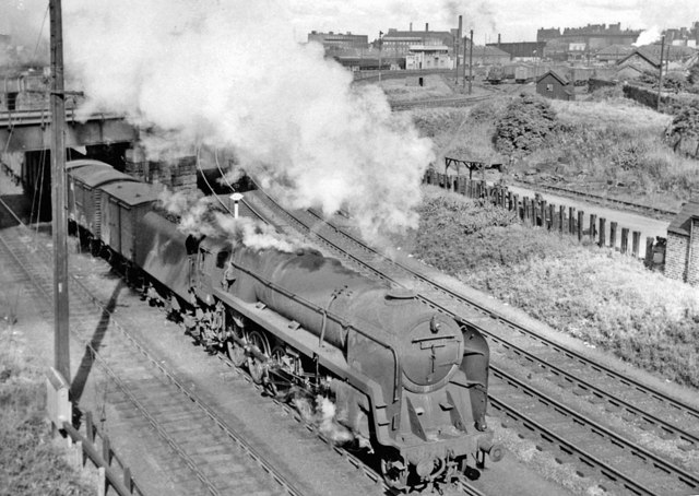
Carlisle, northward view from St Nicholas Bridges over railway complex, 1960
Pinned by Simon Cotterill

from Geograph (geograph)
Carlisle, northward view from St Nicholas Bridges over railway complex, 1960
Pinned by Simon Cotterill

from Geograph (geograph)
Carlisle, northward view from St Nicholas Bridges over railway complex, 1960
Pinned by Simon Cotterill
from Geograph (geograph)
Carlisle, northward view from St Nicholas Bridges over railway complex, 1960
Pinned by Simon Cotterill


 effigy/tomb lid in st James church, castle eden")


