Topics > Northumberland > Civil Parishes in Northumberland > Corsenside Civil Parish
Corsenside Civil Parish
Area: 46.5 km²
Population:
469 (2021 Census)
518 (2011 Census)
494 (2001 Census)
from http://www.parish-council.com…
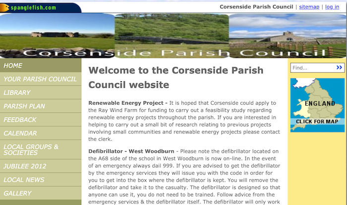
Corsenside Parish Council
- Official Website of Corsenside Parish Council.
Added by
Simon Cotterill
Co-Curate Page
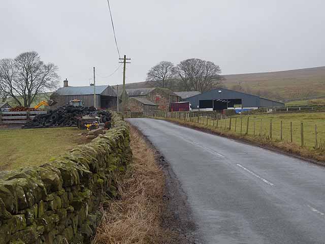
Corsenside
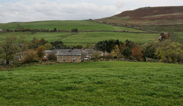
- Overview Map Street View Corsenside is a hamlet and a civil parish in Northumberland. The hamlet consists of just Corsenside Farm and the medieval Church of St Cuthbert. The Civil …
Co-Curate Page
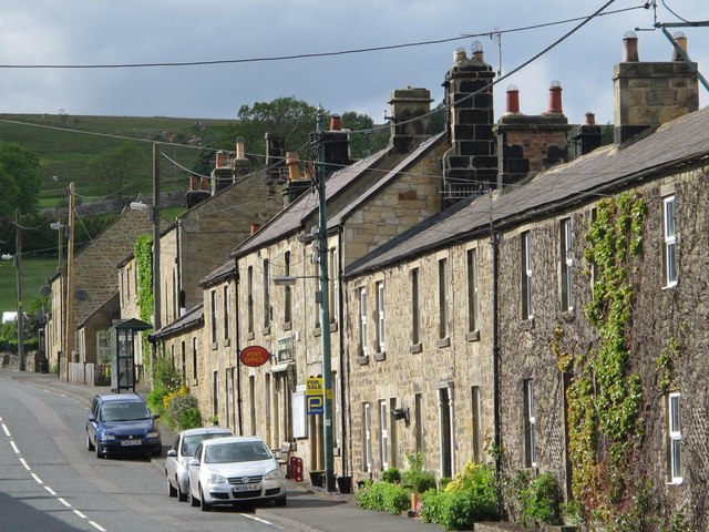
West Woodburn
- Overview About West Woodburn Map Street View West Woodburn is a village in north-western Northumberland, England. The 2001 census recorded a population of 492 in the Parish Council area …
Co-Curate Page
East Woodburn
- Overview Map Street View East Woodburn is a village in Northumberland, located about 14 miles north of Hexham and 4½ miles north-east of Bellingham. The settlement is situated by Lisles Burn, …
Co-Curate Page
Ridsdale
- Overview Map Street View Ridsdale is a village in Northumberland, located about 11 miles north of Hexham and 6 miles south of Otterburn. The village is on the A68 road …

from https://keystothepast.info/se…
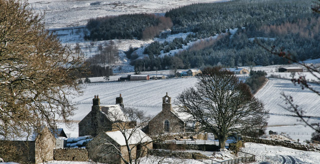
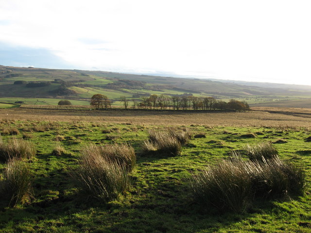
Local History: Corsenside
- "The parish of Corsenside lies in central Northumberland. It is mainly high open moorland, with the commons of Corsenside, East Woodburn and Chesterhope encircling the settlements of East and West …
Added by
Simon Cotterill
Co-Curate Page
Corsenside Parish War Memorial
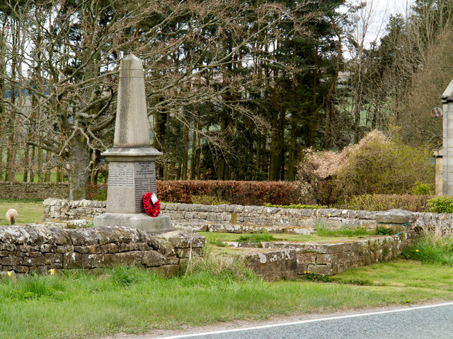
- Overview Map Street View Corsenside Parish War Memorial is located in a stone enclosure by the A68 road near West Woodburn. The obelisk was unveiled in 1921 in commemoration of 16 local …
Co-Curate Page
Woodhouse, West Woodburn
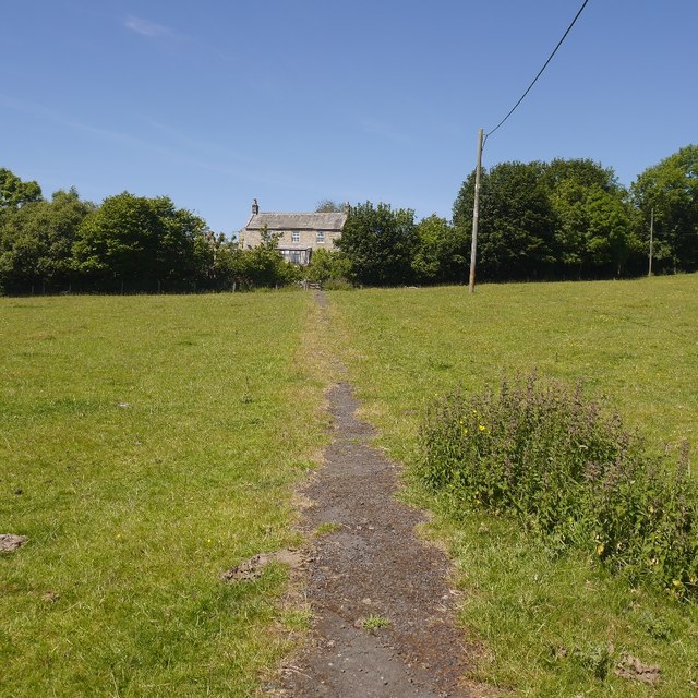
- Overview Map Woodhouse is a hamlet / farm in Northumberland, situated just north of the village of West Woodburn.
Co-Curate Page
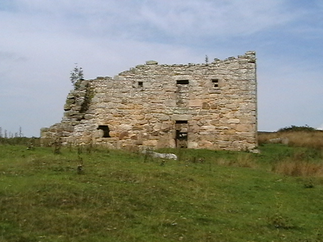
High Leam (Corsenside)
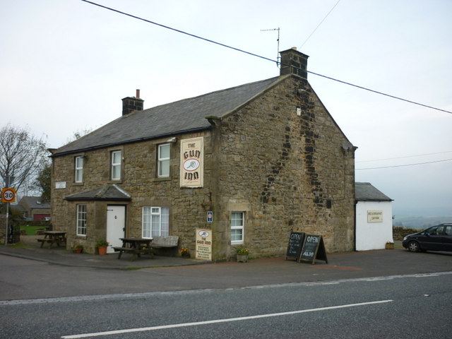
- Overview Map Street View High Leam is a farm/hamlet in Northumberland, located just off the A68 road, about ¼mile north-west of the village of West Woodburn. The farmhouse at High …

from http://www.parish-council.com…
Corsenside Parish Council
- Official Website of Corsenside Parish Council.
Added by
Simon Cotterill
Co-Curate Page
Corsenside
- Overview Map Street View Corsenside is a hamlet and a civil parish in Northumberland. The hamlet consists of just Corsenside Farm and the medieval Church of St Cuthbert. The Civil …
Co-Curate Page
West Woodburn
- Overview About West Woodburn Map Street View West Woodburn is a village in north-western Northumberland, England. The 2001 census recorded a population of 492 in the Parish Council area …
Co-Curate Page
East Woodburn
- Overview Map Street View East Woodburn is a village in Northumberland, located about 14 miles north of Hexham and 4½ miles north-east of Bellingham. The settlement is situated by Lisles Burn, …
Co-Curate Page
Ridsdale
- Overview Map Street View Ridsdale is a village in Northumberland, located about 11 miles north of Hexham and 6 miles south of Otterburn. The village is on the A68 road …
from https://keystothepast.info/se…
Local History: Corsenside
- "The parish of Corsenside lies in central Northumberland. It is mainly high open moorland, with the commons of Corsenside, East Woodburn and Chesterhope encircling the settlements of East and West …
Added by
Simon Cotterill
Co-Curate Page
Corsenside Parish War Memorial
- Overview Map Street View Corsenside Parish War Memorial is located in a stone enclosure by the A68 road near West Woodburn. The obelisk was unveiled in 1921 in commemoration of 16 local …
Co-Curate Page
Woodhouse, West Woodburn
- Overview Map Woodhouse is a hamlet / farm in Northumberland, situated just north of the village of West Woodburn.