Topics > Northumberland > Civil Parishes in Northumberland > Corsenside Civil Parish > Corsenside Parish, 1848
Corsenside Parish, 1848
CORSENSIDE, a parish, in the union of Bellingham, N. E. division of Tindale ward, S. division of Northumberland, 17 miles (N. by W.) from Hexham; containing 1,108 inhabitants. This parish, anciently Crossan-set (the place of the crosses), lies on the Watlingstreet, and comprises by measurement 7,840 acres, of which about 2,500 are arable, 5,000 pasture, and 340 wood. On the east and west sides the land is bleak, moorish, and sterile, but along the banks of the Rede the soil is light, dry, and gravelly, producing good crops of grass and corn; the surface is in general rugged in the extreme, and the scenery uninteresting, except during the summer, when, in the vicinity of Woodburn, it becomes highly picturesque. There are several quarries of excellent limestone and freestone; seams of coal in different places; and an extensive mine of iron-ore of superior quality. An iron-foundry employs between 200 and 300 hands. The parish contains the beautiful hamlet of West Woodburn, and that of East Woodburn, the latter chiefly remarkable for having been the residence of the distinguished family of De Lisle. The living is a discharged vicarage, endowed with the rectorial tithes, in 1736, by the Aynsley family, and in the patronage of Messrs. Tweddell: the tithes have been commuted for £184, and the glebe consists of 84 acres, with a good glebe-house. The church is a small ancient edifice; one of the Umfrevilles gave the advowson and impropriation of it to the convent of Hallystone, which, about 1240, held "Cressenset" in pure alms, of Gilbert de Umfreville. A large quantity of iron-ore, supposed to have been dug up by the Romans, who had iron-works here, was found on the surface near the parish borders; tumuli are frequently met with near the river, and many vases have been discovered.—See Chesterhope and Risingham.
Extract from: A Topographical Dictionary of England comprising the several counties, cities, boroughs, corporate and market towns, parishes, and townships..... 7th Edition, by Samuel Lewis, London, 1848.
Co-Curate Page
Corsenside
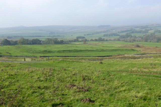
- Overview Map Street View Corsenside is a hamlet and a civil parish in Northumberland. The hamlet consists of just Corsenside Farm and the medieval Church of St Cuthbert. The Civil …
Co-Curate Page
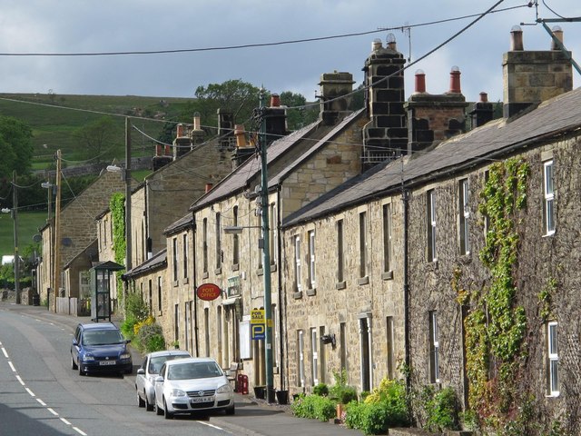
West Woodburn
- Overview About West Woodburn Map Street View West Woodburn is a village in north-western Northumberland, England. The 2001 census recorded a population of 492 in the Parish Council area …
Co-Curate Page
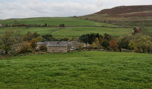
East Woodburn
- Overview Map Street View East Woodburn is a village in Northumberland, located about 14 miles north of Hexham and 4½ miles north-east of Bellingham. The settlement is situated by Lisles Burn, …
Co-Curate Page
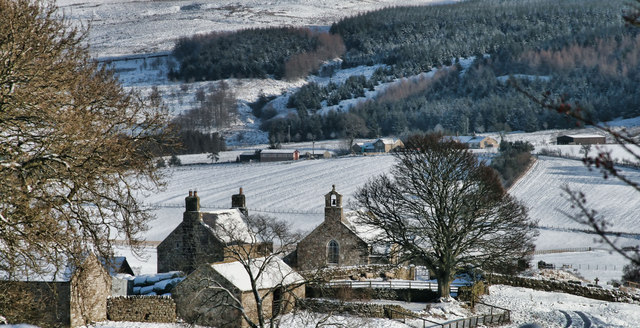
Chesterhope
- Overview Map Street View The hamlets of High Chesterhope and Low Chesterhope are situated by Chersterhope Burn and located about 4 miles north-west of Bellingham in Northumberland. CHESTERHOPE, a hamlet, …

Co-Curate Page
Corsenside
- Overview Map Street View Corsenside is a hamlet and a civil parish in Northumberland. The hamlet consists of just Corsenside Farm and the medieval Church of St Cuthbert. The Civil …
Co-Curate Page
West Woodburn
- Overview About West Woodburn Map Street View West Woodburn is a village in north-western Northumberland, England. The 2001 census recorded a population of 492 in the Parish Council area …
Co-Curate Page
East Woodburn
- Overview Map Street View East Woodburn is a village in Northumberland, located about 14 miles north of Hexham and 4½ miles north-east of Bellingham. The settlement is situated by Lisles Burn, …