Topics > Northumberland > Carham
Carham
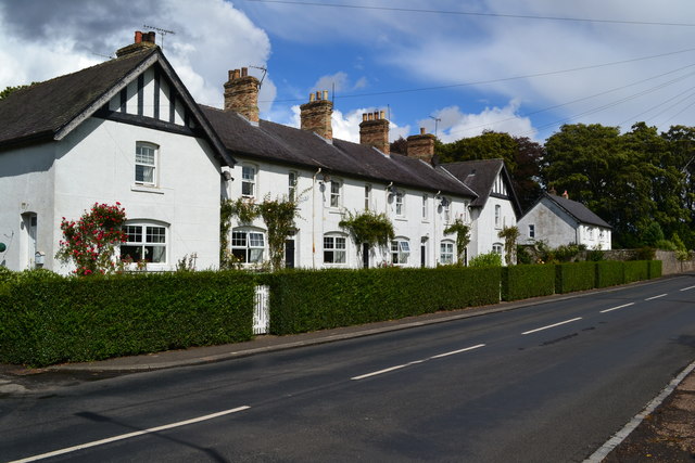
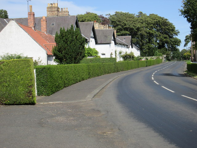
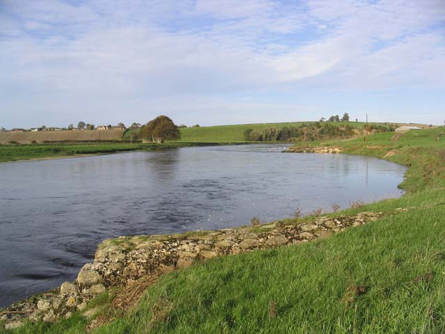
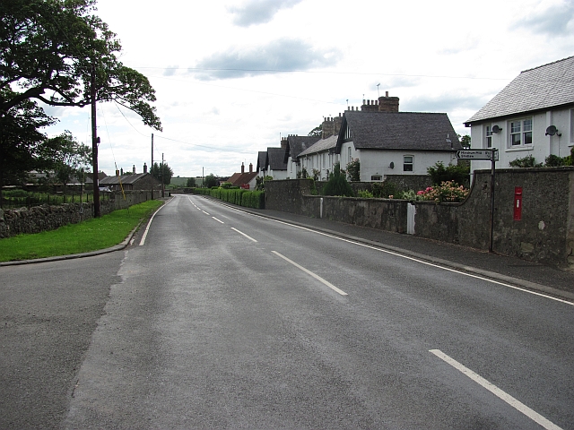
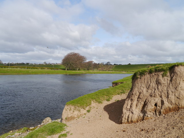
Carham or Carham On Tweed is a village in Northumberland, England. The village lies on the south side of the River Tweed about west of Coldstream.
Etymology
Carham has generally been etymologised as an Old English place-name. The first syllable would be from carr 'rock', and the second either a dative plural ending (the whole name having been carrum '(at the) rocks') or the word hām ('homestead'). However, the twelfth-century chronicler Richard of Hexham appears not to have considered the name an English one, so it may actually come from Cumbric *kair 'fortification'.
History
Near to Carham are the extensive remains of Early British camps and a bronze sword, now in the British Museum, discovered in the nearby Tweed.
Carham on the Tweed, where a stream divides Northumberland from Scotland, was the scene of two battles in Anglo-Saxon times.
In 833 the Danes fought the English, and the English were routed. Leland tells us that
in the 33rd year of Ecbright the Danes arrived at Lindisfarne and fought with the English at Carham where Eleven Bishops and two English Countes were slayne, and a great numbre of people.
A field between the glebe and Dunstan Wood, where bones have been from time to time disinterred, is probably the site of the battle.
In 1016 or 1018 the Battle of Carham between the Kingdom of Scotland and the Northumbrians resulted in a Scottish victory.
Governance
Carham is in the parliamentary constituency of Berwick-upon-Tweed.
Religious sites
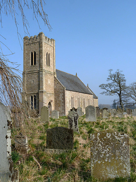
The church is dedicated to St Cuthbert.

from http://commons.wikimedia.org/…
Parish Church of St Cuthbert, Carham
- Photo from geograph.org.uk available under a Creative Commons Attribution-Share Alike 2.0 licence - c/o Wikimedia Commons
Added by
Simon Cotterill

from http://commons.wikimedia.org/…
Carham Hall - drawing by John Neale, 1818
- John Preston Neale (1780–1847)
"Image extracted from page 200 of volume 3 of "Views of the Seats of Noblemen and Gentlemen in England, Wales, Scotland and Ireland. L.P", by John …
Added by
Simon Cotterill
from http://www.carhamparish.org.u…
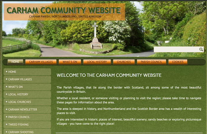
Carham Parish Community Website
- The Parish villages, that lie along the border with Scotland, including Carham, East Learmouth, Hagg, Howburn, Pressen Hill, Shidlaw, Sunilaws, Tithehill, Wark-on-Tweed & Wark Common, and West Learmouth.
Added by
Simon Cotterill
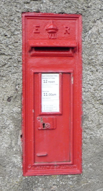
from Geograph (geograph)
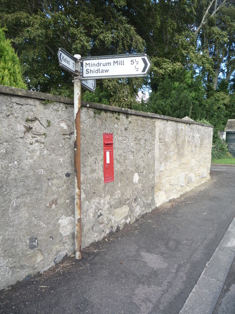
Close up, Edward VII postbox on the B6350, Carham
Pinned by Simon Cotterill
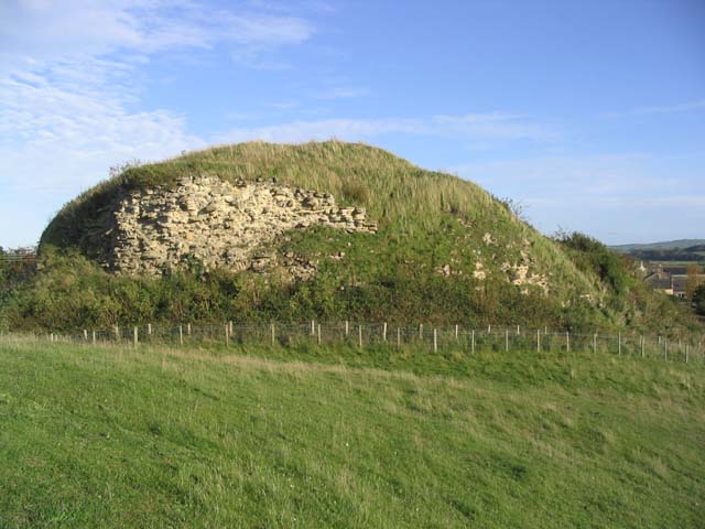
Co-Curate Page
Wark-on-Tweed Castle
- Overview About Wark-on-Tweed Castle Map Street View Wark Castle (aka Carham Castle), at Wark-on-Tweed was originally a motte-and-bailey castle built early in the 12th century. The castle was demolished and rebuilt …

Co-Curate Page
Carham Parish, 1855
- Extract from: History, Topography, and Directory of Northumberland...Whellan, William, & Co, 1855. CARHAM PARISH CARHAM parish is situated at the north-west angle of the county1 being bounded on the …


from http://commons.wikimedia.org/…
Parish Church of St Cuthbert, Carham
- Photo from geograph.org.uk available under a Creative Commons Attribution-Share Alike 2.0 licence - c/o Wikimedia Commons
Added by
Simon Cotterill

from http://commons.wikimedia.org/…
Carham Hall - drawing by John Neale, 1818
- John Preston Neale (1780–1847)
"Image extracted from page 200 of volume 3 of "Views of the Seats of Noblemen and Gentlemen in England, Wales, Scotland and Ireland. L.P", by John …
Added by
Simon Cotterill

from http://www.carhamparish.org.u…
Carham Parish Community Website
- The Parish villages, that lie along the border with Scotland, including Carham, East Learmouth, Hagg, Howburn, Pressen Hill, Shidlaw, Sunilaws, Tithehill, Wark-on-Tweed & Wark Common, and West Learmouth.
Added by
Simon Cotterill

from Geograph (geograph)
Close up, Edward VII postbox on the B6350, Carham
Pinned by Simon Cotterill

Co-Curate Page
Wark-on-Tweed Castle
- Overview About Wark-on-Tweed Castle Map Street View Wark Castle (aka Carham Castle), at Wark-on-Tweed was originally a motte-and-bailey castle built early in the 12th century. The castle was demolished and rebuilt …

