Topics > Northumberland > Bowsden
Bowsden
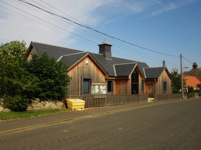
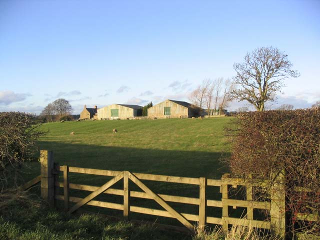
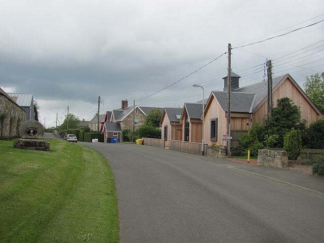
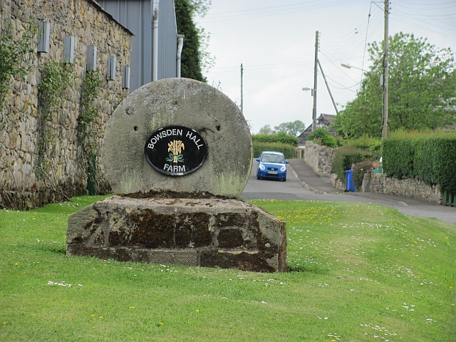
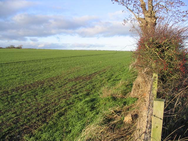
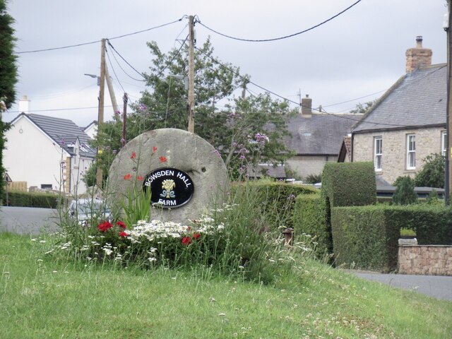
Bowsden is a village located in Northumberland, located about 7 miles south of Berwick-upon-Tweed, two miles north-west of the village of Lowick, and situated about 5 miles from the coast. The village is off the B6525 road between Wooler and Berwick, parts of which follows the route of the Roman road known as the Devil's Causeway. There was a substantial settlement at Bowsden in Medieval times, first recorded in 1296.[1] By the 19th century, Bowsden had a post office, a national school, and various businesses, including a blacksmith, village shop, and public house called The Black Bull (closed in 2014). Today, the village includes 3 farms (Bowsden Hall Farm, Bowsden West Farm and Bowsden East Farm) and houses and cottages, mostly spread along one long road. Bowsden Village Hall is located at the centre of the settlement. Bowsden had been a township in the ancient parish of Lowick and became part of Lowick Civil Parish, when it was created in 1866. From 1955, the village and the wider surrounding area became the newly formed Bowsden Civil Parish.

Co-Curate Page
Bowsden, 1848
- BOWESDEN, a hamlet, in the parish of Lowick, union of Glendale, E. division of Glendale ward, N. division of Northumberland, 9¼ miles (N.) from Wooler. The ancient family of Carr …

Co-Curate Page
Lowick Parish, Northumberland, 1855
- Extract from: History, Topography, and Directory of Northumberland...Whellan, William, & Co, 1855. Holborn in this directory is today known as Holburn. LOWICK PARISH LOWICK parish comprises the townships of …

from https://keystothepast.info/se…
Bowsden medieval settlement (Bowsden)
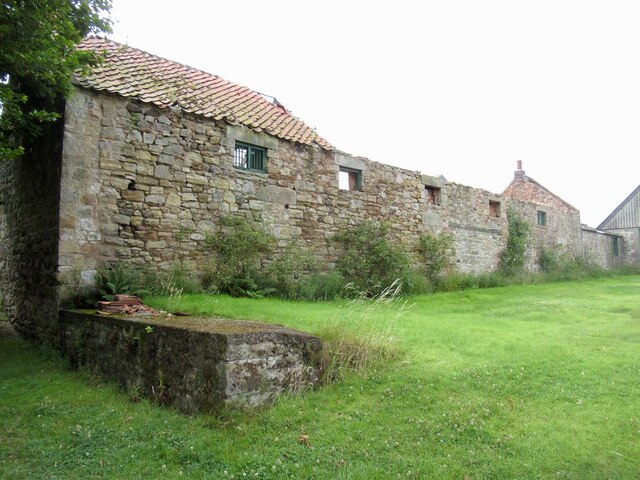
- A settlement is recorded at Bowsden from at least the late 13th century, when 12 taxpayers were listed in 1296. The settlement grew through the medieval period and was described …
Added by
Simon Cotterill


Co-Curate Page
Bowsden, 1848
- BOWESDEN, a hamlet, in the parish of Lowick, union of Glendale, E. division of Glendale ward, N. division of Northumberland, 9¼ miles (N.) from Wooler. The ancient family of Carr …
Co-Curate Page
Lowick Parish, Northumberland, 1855
- Extract from: History, Topography, and Directory of Northumberland...Whellan, William, & Co, 1855. Holborn in this directory is today known as Holburn. LOWICK PARISH LOWICK parish comprises the townships of …
from https://keystothepast.info/se…
Bowsden medieval settlement (Bowsden)
- A settlement is recorded at Bowsden from at least the late 13th century, when 12 taxpayers were listed in 1296. The settlement grew through the medieval period and was described …
Added by
Simon Cotterill