Topics > Northumberland > Civil Parishes in Northumberland > Bowsden Civil Parish
Bowsden Civil Parish
Parish boundaries may have changed - for the latest map see the Parish Council or Northumberland County Council.
About the Parish
Bowsden Civil Parish in Northumberland is located in the north of the county, between Wooler and Berwick-upon Tweed, and is about 5 miles inland from the North East coast.
| Settlements: |
Bowsden (village), and several farms / hamlets, including Gatherick, Old Dryburn, and Whistlebare |
| Population: |
177 (2021 Census) 178 (2011 Census) 158 (2001 Census) |
| Area: | 14.3 km² |
| Parish Council: | Bowsden Parish Council |
| Unitary Authority: | Northumberland County Council |
Historical |
|
|
Ancient Township:
|
Townships generally became civil parishes in their own right in 1866 (see below). However, in the case of Bowsden, it remained part of Lowick Civil Parish, from when the civil parish was formed in 1866, until 1955, when Bowsden became a separate civil parish. |
| Ancient Parish: |
Population: 1,382 in 1801, and 1,941 in 1851. Gazetteers:
Ancient parishes refer to the parishes before the split between ecclesiastical (church) and civil parishes in the 19th century. They had a parish church and often were composed of multiple townships and chapelries. In many cases, townships and parishes were originally based on the territory of manors from the feudal system during medieval times. Civil parishes were created following the Poor Law Amendment Act 1866, in which Church of England parishes, extra-parochial areas, townships and chapelries, became "civil parishes" which could set their own poor rate (tax). Then the reforms of Local Government Act 1894 established elected civil parish councils (or parish meetings for parishes with less than 300 residents) and created urban and rural districts. Boundaries of parishes and civil parishes may have changed over time. |
| Ancient District: |
Glendale (ward) |
| Poor Law Union: |
Glendale Poor Law Union, formed in 1836. Glendale Union Workhouse was located on Wooler High Street, built in 1839 to house up to 70 inmates. Under the Poor Law Amendment Act of 1834 parishes were grouped into Unions, each of which had to build a workhouse if they did not already have one. It ended the old system of locally provided poor relief which had come under strain as numbers out of work grew, following increasing mechanisation of agriculture and the economic downturn after the Napoleonic Wars, along with changing social attitudes. The workhouse provided those unable to support themselves financially with accommodation and work. Inmates were generally segregated into men, women, boys and girls. The workhouse system was abolished by the Local Government Act 1929, but many workhouses lived on as ‘Public Assistance Institutions’ until the National Assistance Act 1948. |
|
District Council: |
Glendale Rural District (1894 - 1974). The district was abolished in 1974, following the Local Government Act 1972. Berwick-upon-Tweed Borough (1974 - 2009). Berwick-upon-Tweed district covered the previous borough of Berwick-upon-Tweed, Belford Rural District, Glendale Rural District and Norham and Islandshires Rural District. The district council was abolished when Northumberland County Council became a unitary authority on the 1st of April 2009. |
|
Major boundary change: |
On the 1st April 1955, Bowsden Civil Parish (of 3521 acres) was created from part of Lowick Civil Parish. |
|
County / Unitary Authority |
In 1572 Parliament passed a bill annexing Hexham and Hexamshire to the County of Northumberland. The ancient county of Northumberland was enlarged following the Counties (Detached Parts) Act 1844; Bedlingtonshire, Norhamshire, Islandshire, the Farne Islands and Monks' House all became part of Northumberland. Up to then they had been enclaves of County Durham. Northumberland County Council formed 1889. Major boundary changes came into effect on the 1st April 1974. This followed the Local Government Act 1972, which formed the non-metropolitan county of Northumberland. This excluded the City of Newcastle upon Tyne and North Tyneside, which up to then had been part of Northumberland, but now became part of the newly formed Tyne & Wear. Northumberland County Council became a unitary authority on the 1st of April 2009. |
Listed buildings and Monuments in Bowsden Civil Parish
| Structure | List No. | Grade | Built~ | Note |
|---|---|---|---|---|
| Limekiln Circa 1/4 Mile South West of Old Dryburn | 1370942 | II | C19th | |
| Milepost 200 Yards North of Bowsden Road End | 1042299 | II | C19th |
Primary source: the National Heritage List for England - NHLE is the register of nationally protected historic buildings and sites in England, including listed buildings, scheduled monuments, protected wrecks, registered parks and gardens, and battlefields. The list is maintained by Historic England. Check NHLE for updates and new entries.
Co-Curate Page
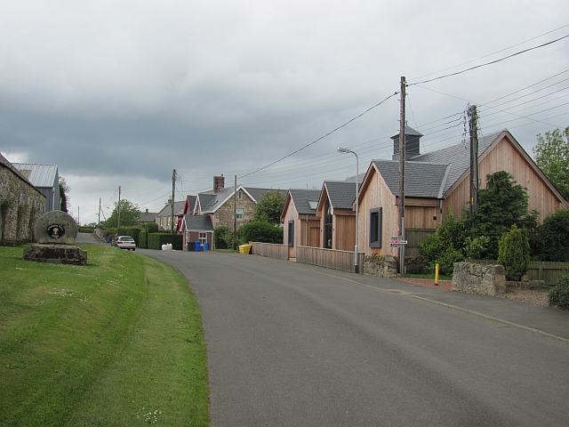
Bowsden
- Overview Map Street View Bowsden is a village located in Northumberland, located about 7 miles south of Berwick-upon-Tweed, two miles north-west of the village of Lowick, and situated about 5 …
Co-Curate Page
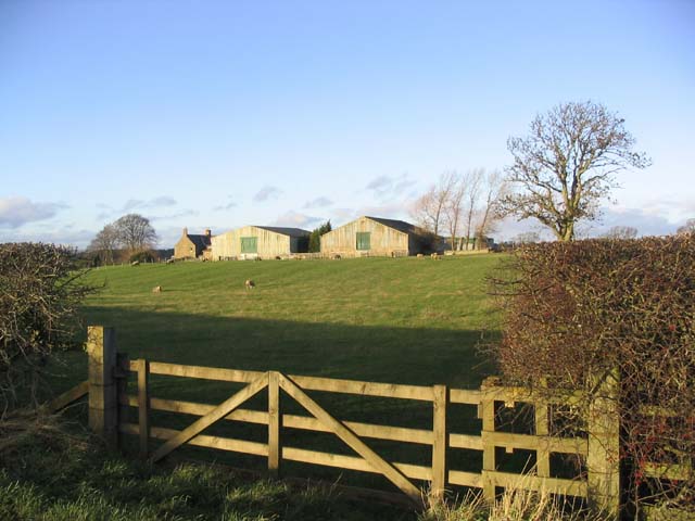
Gatherick
- Overview Map Street View Gatherick (sometimes spelt Gatherwick) is a farm and hamlet in Northumberland. It is located about 2 miles north-east of Etal and 2 and a half miles …

Co-Curate Page
Bowsden, 1848
- BOWESDEN, a hamlet, in the parish of Lowick, union of Glendale, E. division of Glendale ward, N. division of Northumberland, 9¼ miles (N.) from Wooler. The ancient family of Carr …
Co-Curate Page
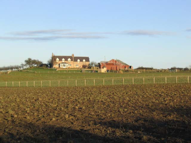
Whistlebare, Northumberland
- Overview Map Street View Whistle Bare (aka Whistlebare) is a farm in Bowsden Civil Parish, in Northumberland.

Co-Curate Page
Lowick Parish, Northumberland, 1855
- Extract from: History, Topography, and Directory of Northumberland...Whellan, William, & Co, 1855. Holborn in this directory is today known as Holburn. LOWICK PARISH LOWICK parish comprises the townships of …


from https://www.bowsdenvillagehal…
Bowsden Parish Council
- Website of Bowsden Parish Council / Village Hall
Added by
Simon Cotterill
Co-Curate Page
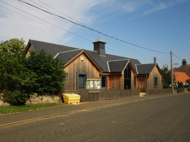
Bowsden Village Hall
- Overview Map Street View The Village Hall is located at the centre of Bowsden, opposite Bowsden Hall Farm. The Village Hall was rebuilt in 2009, replacing an earlier village hall …

Co-Curate Page
Bowsden
- Overview Map Street View Bowsden is a village located in Northumberland, located about 7 miles south of Berwick-upon-Tweed, two miles north-west of the village of Lowick, and situated about 5 …
Co-Curate Page
Gatherick
- Overview Map Street View Gatherick (sometimes spelt Gatherwick) is a farm and hamlet in Northumberland. It is located about 2 miles north-east of Etal and 2 and a half miles …
Co-Curate Page
Bowsden, 1848
- BOWESDEN, a hamlet, in the parish of Lowick, union of Glendale, E. division of Glendale ward, N. division of Northumberland, 9¼ miles (N.) from Wooler. The ancient family of Carr …
Co-Curate Page
Whistlebare, Northumberland
- Overview Map Street View Whistle Bare (aka Whistlebare) is a farm in Bowsden Civil Parish, in Northumberland.
Co-Curate Page
Lowick Parish, Northumberland, 1855
- Extract from: History, Topography, and Directory of Northumberland...Whellan, William, & Co, 1855. Holborn in this directory is today known as Holburn. LOWICK PARISH LOWICK parish comprises the townships of …
from https://www.bowsdenvillagehal…
Bowsden Parish Council
- Website of Bowsden Parish Council / Village Hall
Added by
Simon Cotterill

 Water Body")


