Topics > Civil Parishes in Cumbria > Bowness Civil Parish
Bowness Civil Parish
Area: 48.4 km²
Population:
1,046 (2021 Census)
1,126 (2011 Census)
1,221 (2001 Census)
Co-Curate Page
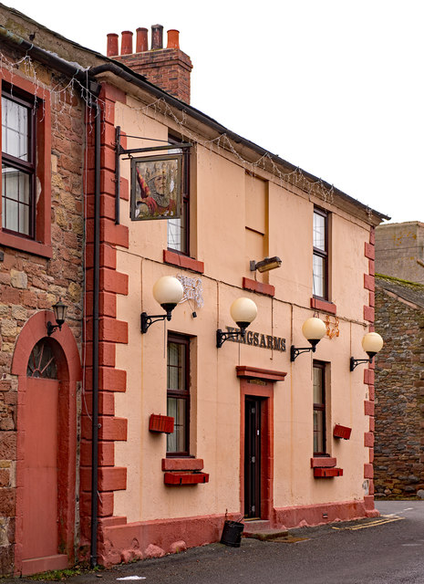
Bowness-on-Solway
- Overview About Bowness-on-Solway Map Street View Bowness-on-Solway is a village of fewer than 100 houses on the Solway Firth separating England and Scotland. The civil parish had a population …
Co-Curate Page
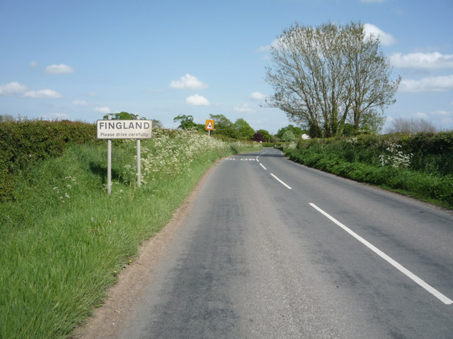
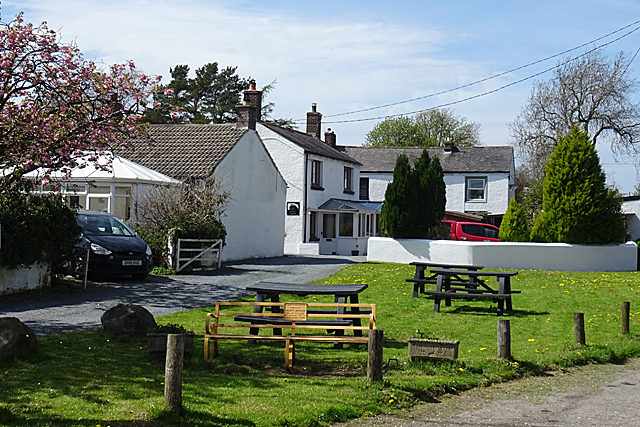
Fingland
- Overview About Fingland Map Street View FINGLAND, a township, in the parish of Bowness, union of Wigton, Cumberland ward, E. division of the county of Cumberland, 6½ miles (N.) from …
Co-Curate Page
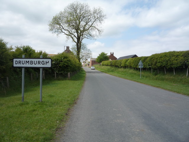
Drumburgh
- Overview About Drumburgh Map Street View Drumburgh is a village by the Solway Foss in Cumbria, located about 3 miles south-east of Bowness-on-Solway and 8 miles north-west of Carlisle. DRUMBURGH, …
Co-Curate Page
Whitrigg, Bowness-on-Solway
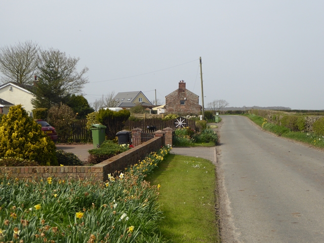
- Overview Map Street View Whitrigg is a hamlet in the Allerdale district of Cumbria, located about 3 miles south of the village of Bowness-on-Solway and ½ mile north of Angerton. It …
Co-Curate Page
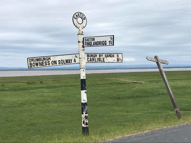
Easton, Solway
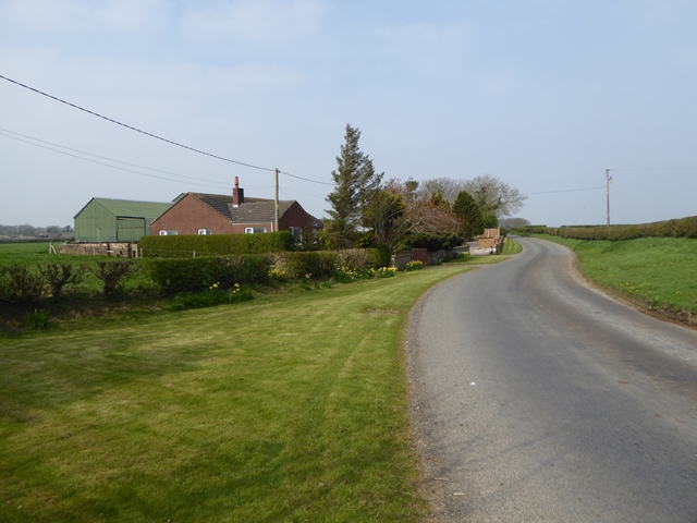
- Overview Map Street View Easton is a hamlet in the Allerdale district of Cumbria, situated by the Solway Firth and located about 4 miles south-east of Bowness-on-Solway and 7 miles …
Co-Curate Page
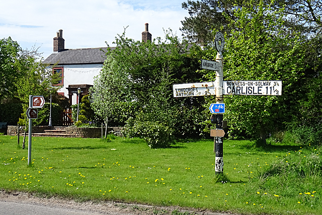
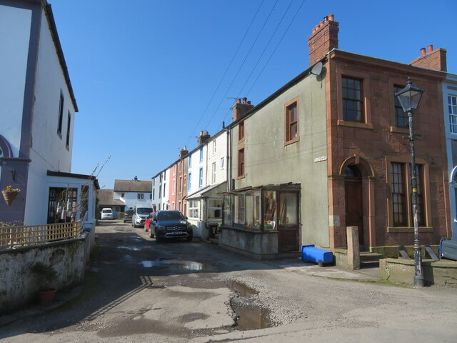
Port Carlisle
- Overview Map Street View Port Carlisle is a coastal village on the Solway Firth in Cumbria, located about 1 mile east of Bowness-on-Solway and 10 miles north-west of Carlisle. It …
Co-Curate Page
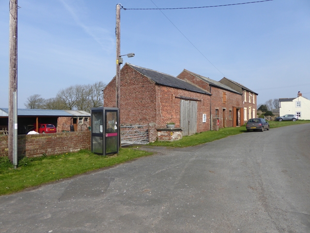
Anthorn
- Overview Map Street View ANTHORN, a township, in the parish of Bowness, union of Wigton, Cumberland ward, and E. division of Cumberland, 8 miles (N.W. by N.) from Wigton; containing …

Co-Curate Page
Bowness-on-Solway
- Overview About Bowness-on-Solway Map Street View Bowness-on-Solway is a village of fewer than 100 houses on the Solway Firth separating England and Scotland. The civil parish had a population …
Co-Curate Page
Fingland
- Overview About Fingland Map Street View FINGLAND, a township, in the parish of Bowness, union of Wigton, Cumberland ward, E. division of the county of Cumberland, 6½ miles (N.) from …
Co-Curate Page
Drumburgh
- Overview About Drumburgh Map Street View Drumburgh is a village by the Solway Foss in Cumbria, located about 3 miles south-east of Bowness-on-Solway and 8 miles north-west of Carlisle. DRUMBURGH, …
Co-Curate Page
Whitrigg, Bowness-on-Solway
- Overview Map Street View Whitrigg is a hamlet in the Allerdale district of Cumbria, located about 3 miles south of the village of Bowness-on-Solway and ½ mile north of Angerton. It …
Co-Curate Page
Easton, Solway
- Overview Map Street View Easton is a hamlet in the Allerdale district of Cumbria, situated by the Solway Firth and located about 4 miles south-east of Bowness-on-Solway and 7 miles …
Co-Curate Page
Port Carlisle
- Overview Map Street View Port Carlisle is a coastal village on the Solway Firth in Cumbria, located about 1 mile east of Bowness-on-Solway and 10 miles north-west of Carlisle. It …


