Topics > Boustead Hill
Boustead Hill
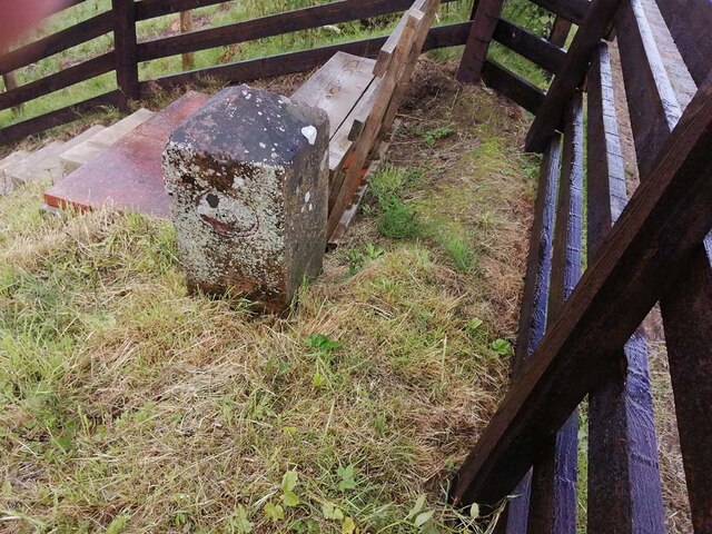
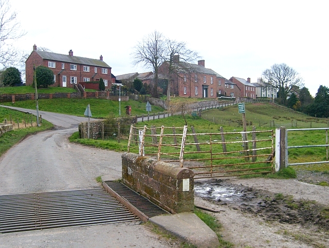
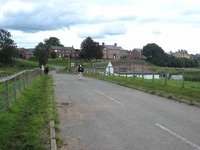
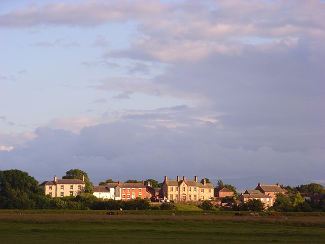
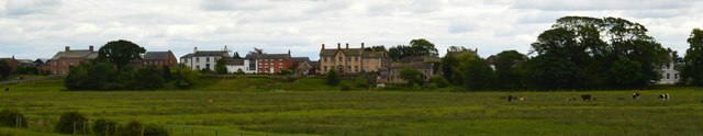
Boustead Hill is a hamlet situated by the Solway Firth in Cumbria, it stands on high ground around Burgh Marsh. The settlement is located about 2 miles west of the village of Burgh-by-Sands and 7 miles north-west of Carlisle. Boustead Hill House here, dates from the early 19th century and is Grade II listed on the National Heritage List for England.[1] At the north of Boustead Hill is a bridge over what is now the Hadrian's Wall Path national trail. Notably, this was originally a drawbridge over the Carlisle Canal, which opened in 1823. After the canal closed in 1853, it was altered and heightened to become a railway bridge for the Port Carlisle Railway. The bridge is Grade II listed.[2] There is also an old canal mile marker in a private garden near the bridge. Historically, Boustead Hill was a township in the ancient parish of Burgh-upon-the-Sands in Cumbria. Today it forms part of Burgh by Sands Civil Parish.
BOUSTEAD-HILL, a township, in the parish of Burgh-upon-the-Sands, union of Carlisle, Cumberland ward, and E. division of Cumberland, 7½ miles (W.N.W.) from Carlisle; containing 74 inhabitants.
Extract from: A Topographical Dictionary of England comprising the several counties, cities, boroughs, corporate and market towns, parishes, and townships..... 7th Edition, by Samuel Lewis, London, 1848.
Boustead Hill is a hamlet in Cumbria, England. It has two separate equestrian centres. In 1831 the township had a population of 63.
It is located close to the site where the famous Solway Firth Spaceman photograph was taken.
Visit the page: Boustead Hill for references and further details. You can contribute to this article on Wikipedia.
from Geograph (geograph)
Hadrian's Wall Walk Day 1 - Bowness on Solway to Carlisle 3
Pinned by Simon Cotterill

from Geograph (geograph)
Direction Sign – Signpost at Boustead Hill in Burgh by Sands parish
Pinned by Simon Cotterill

from https://historicengland.org.u…
Boustead Hill Bridge
- Bridge overcanal, later railway bridge. 1819-23 for the Carlisle Canal; additions of 1853-4 for the Port Carlisle Dock and Railway Company. Squared and coursed red and calciferous sandstone; cast-iron central …
Added by
Simon Cotterill
from https://historicengland.org.u…
Boustead Hill House - List Entry
- House. Early C19. Incised stucco on chamfered plinth, graduated greenslate roof, stucco chimney stacks. 2 storeys, 4 bays, with flanking single-storey, single-bay wings. 6-panel door with glazed fanlight, prostyle Tuscan …
Added by
Simon Cotterill

from Geograph (geograph)
Hadrian's Wall Walk Day 1 - Bowness on Solway to Carlisle 3
Pinned by Simon Cotterill
from Geograph (geograph)
Direction Sign – Signpost at Boustead Hill in Burgh by Sands parish
Pinned by Simon Cotterill
from https://historicengland.org.u…
Boustead Hill Bridge
- Bridge overcanal, later railway bridge. 1819-23 for the Carlisle Canal; additions of 1853-4 for the Port Carlisle Dock and Railway Company. Squared and coursed red and calciferous sandstone; cast-iron central …
Added by
Simon Cotterill
from https://historicengland.org.u…
Boustead Hill House - List Entry
- House. Early C19. Incised stucco on chamfered plinth, graduated greenslate roof, stucco chimney stacks. 2 storeys, 4 bays, with flanking single-storey, single-bay wings. 6-panel door with glazed fanlight, prostyle Tuscan …
Added by
Simon Cotterill