Topics > Civil Parishes in Cumbria > Burgh by Sands Civil Parish > Burgh-Upon-The-Sands Parish, 1848
Burgh-Upon-The-Sands Parish, 1848
BURGH-UPON-THE-SANDS (St. Michael), a parish, in the union of Carlisle, Cumberland ward, E. division of the county of Cumberland; comprising the townships of Boustead-Hill, Burgh, Longburgh, and Moorhouse; and containing 1,003 inhabitants, of whom 512 are in the township of Burgh, 5½ miles (W.N.W.) from Carlisle. Close to the village, on the northern side, and on the site now called the Old Castle, stood the Roman station Axelodunum, the sixteenth on the line of Severus' Wall, and the spot where Adrian's vallum terminated: the lines of the ramparts, which are still visible, include an area about 136 yards square, in which, and in the vicinity, urns, altars, and inscribed stones have been dug up. A castle, built after the Conquest, but of which there are no remains, is stated to have been seized in 1174, by William, King of Scotland; and several encounters between the English and the Scots occurred in the parish, of which the most sanguinary were those in 1216 and 1520. Edward I. died here, on the 7th of July, 1307, whilst on an expedition against Scotland: this event was commemorated in 1685, by Henry, Duke of Norfolk, by the erection of an obelisk, which fell down on the 4th of March, 1795, and was rebuilt by the Earl of Lonsdale, in 1803. The living is a discharged vicarage, valued in the king's books at £5. 1. 10½., and in the patronage of the Crown; net income, £120; impropriators of the corn tithes, the landowners. The church exhibits evident marks of having been constructed, like some others on the border, as a place of occasional retreat and defence.
Extract from: A Topographical Dictionary of England comprising the several counties, cities, boroughs, corporate and market towns, parishes, and townships..... 7th Edition, by Samuel Lewis, London, 1848.
Co-Curate Page
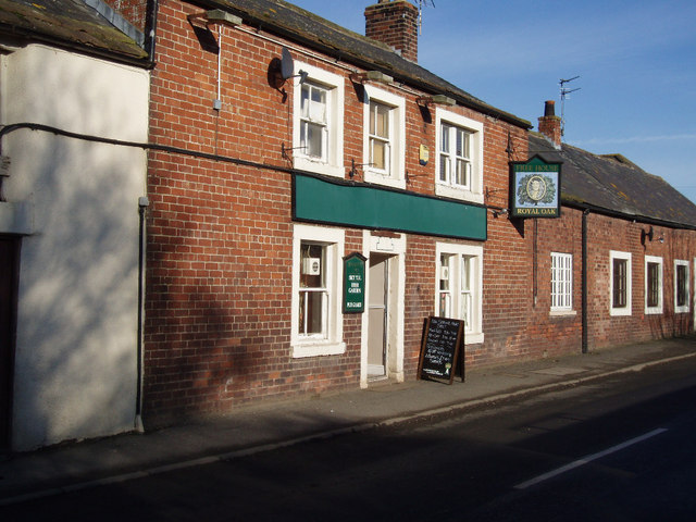
Burgh by Sands
- Overview About Burgh by Sands Map Street View Burgh by Sands is a village in Cumbria, located near the Solway Firth, and about 4 miles north-west of Carlsile. St Michael's …
Co-Curate Page
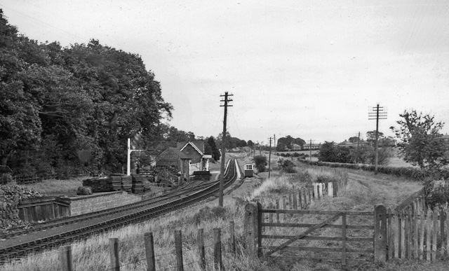
Longburgh
- Overview Map Street View Longburgh is a village in the City of Carlisle district of Cumbria, located about half a mile west of Burgh by Sands, and just over 5 …

from https://www.cumbriacountyhist…
Burgh by Sands Parish
- "Ancient parish in Cumberland ward, Cumberland, including townships of Boustead Hill, Burgh Head, Burgh West End, Longburgh, and Moorhouse and salt marshes of Burgh Marsh.....caput of barony of Burgh, held …
Added by
Simon Cotterill
Co-Curate Page
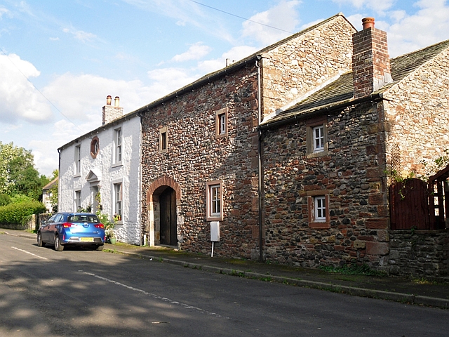
Boustead Hill
- Overview About Boustead Hill Map Street View Boustead Hill is a hamlet situated by the Solway Firth in Cumbria, it stands on high ground around Burgh Marsh. The settlement is …
Co-Curate Page
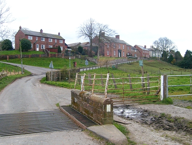
Moorhouse
- Overview About Moorhouse Map Street View Moorhouse is a village in Cumbria, located about 3½ miles west of Carlisle and 1½ miles south of Burgh by Sands. It is a …

Co-Curate Page
Burgh by Sands
- Overview About Burgh by Sands Map Street View Burgh by Sands is a village in Cumbria, located near the Solway Firth, and about 4 miles north-west of Carlsile. St Michael's …
Co-Curate Page
Longburgh
- Overview Map Street View Longburgh is a village in the City of Carlisle district of Cumbria, located about half a mile west of Burgh by Sands, and just over 5 …
from https://www.cumbriacountyhist…
Burgh by Sands Parish
- "Ancient parish in Cumberland ward, Cumberland, including townships of Boustead Hill, Burgh Head, Burgh West End, Longburgh, and Moorhouse and salt marshes of Burgh Marsh.....caput of barony of Burgh, held …
Added by
Simon Cotterill
Co-Curate Page
Boustead Hill
- Overview About Boustead Hill Map Street View Boustead Hill is a hamlet situated by the Solway Firth in Cumbria, it stands on high ground around Burgh Marsh. The settlement is …


