Topics > Cumbria > Blagill

Blagill


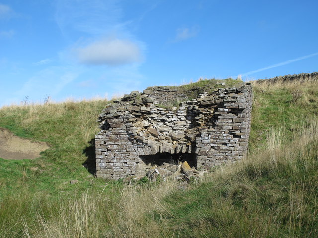
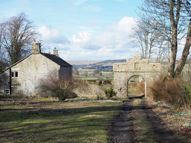
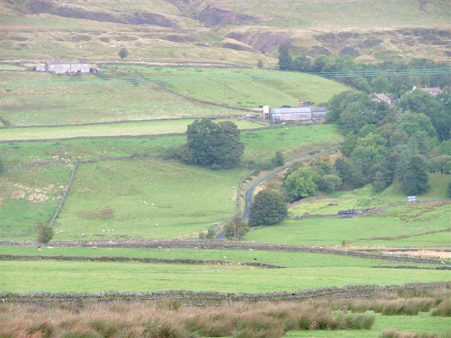
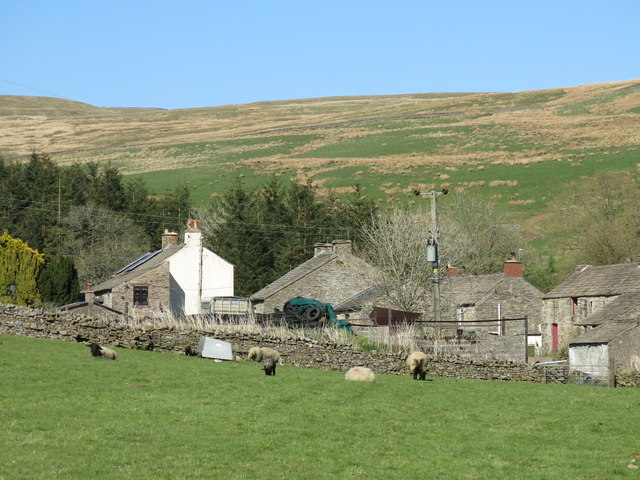
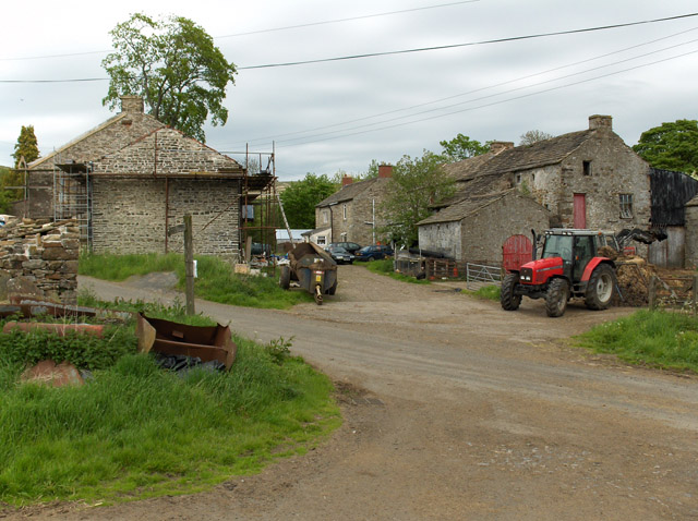
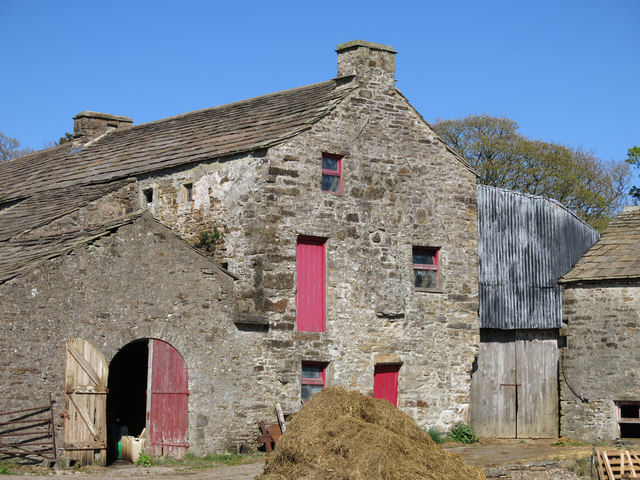
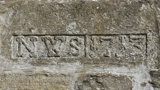
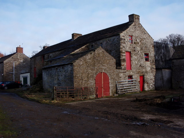
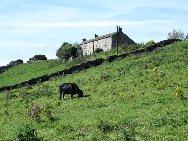
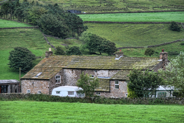
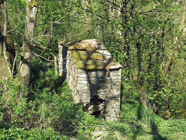
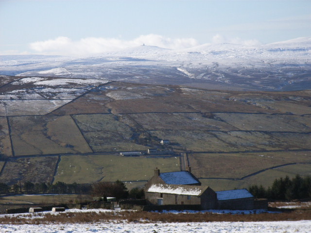
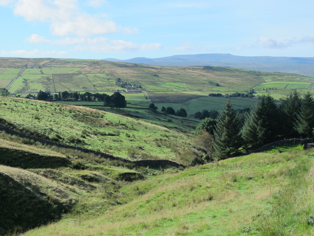
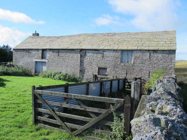
Blagill is a hamlet in the Eden district of Cumbria, located about 1½ miles north east of Alston and 3½ miles north west of Nenthead. It is situated by Blaghill Burn, which joins the River Nent to the south of Blagill. The B6294 road has a sharp bend as it traverses the valley of Blaghill Burn, by which is a minor road which runs south from the B6294. Blaghill Farm and cottages are located by the junction of these roads. One of the farm buildings is dated 1713. Hilltop (cottage) and Corby Gates Farm are located off the B6294 above Blaghill Farm. Just over half mile further north, by the source of the burn, is Blaghillhead Farm. There is a strong history of lead/zinc mining in the area; Blagill Mill for smelting was built at the beginning of the 18th century, and used by the London Lead Company. There was also coal mining; Blagill Colliery (closed in 1952) and later Blaghill drift mine. Blagill is part of Alston Moor Civil Parish.
Alston Moor Civil Parish Old Lime Kiln, Blagillhead
from Geograph (geograph)
Blagill

Pinned by Simon Cotterill
from Geograph (geograph)
Blagill

Pinned by Simon Cotterill
from Geograph (geograph)
Blagill

Pinned by Simon Cotterill
from Geograph (geograph)
Blagill Farm

Pinned by Simon Cotterill
from Geograph (geograph)
Date stone (1713) on a building at Blagill Farm

Pinned by Simon Cotterill
from Geograph (geograph)
Blagill farm house

Pinned by Simon Cotterill
from Geograph (geograph)
Hilltop, Blagill

Pinned by Simon Cotterill
from Geograph (geograph)
Hilltop

Pinned by Simon Cotterill
from Geograph (geograph)
Old mine workings at Blagill

Pinned by Simon Cotterill
from Geograph (geograph)
Disused nettie above Blagill Burn

Pinned by Simon Cotterill
from Geograph (geograph)
Blagill Burn

Pinned by Simon Cotterill
from Geograph (geograph)
The River Nent downstream of Blagill Bridge

Pinned by Simon Cotterill
from Geograph (geograph)
Reservoir above Blagill Burn

Pinned by Simon Cotterill
from Geograph (geograph)
The valley of Blagill Burn

Pinned by Simon Cotterill
from Geograph (geograph)
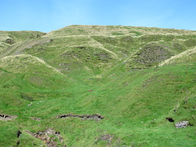
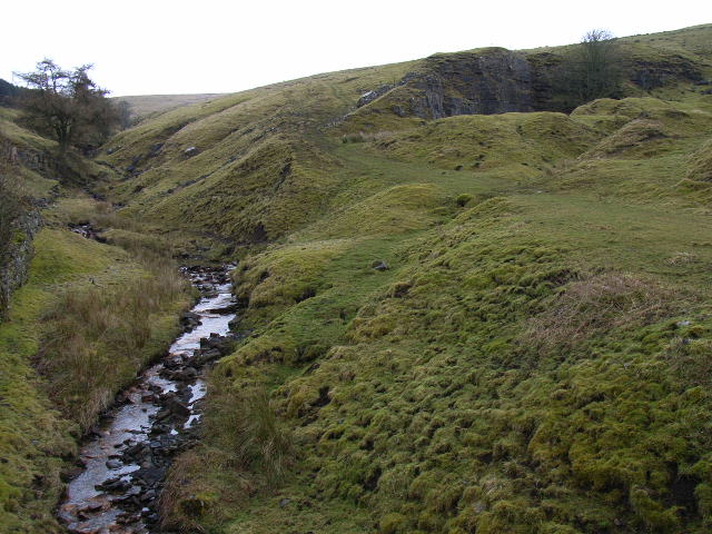
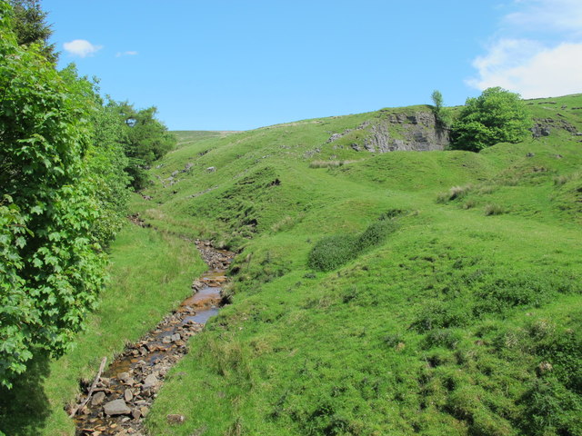
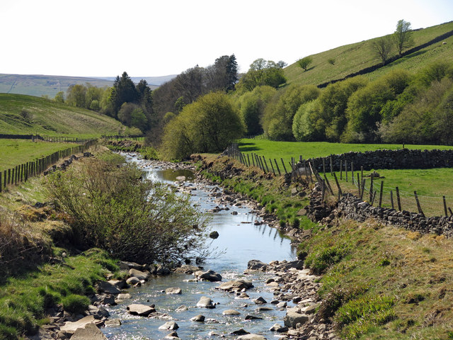
Blagill Burn and disused quarries above Blagill Bridge

Pinned by Simon Cotterill
from Geograph (geograph)
Blagillhead

Pinned by Simon Cotterill
from Geograph (geograph)
The valley of Blagill Burn (3)

Pinned by Simon Cotterill
from Geograph (geograph)
Barn and sheep pens at Blagillhead

Pinned by Simon Cotterill
from http://www.dmm.org.uk/collier…
Blagill (Lead Ore)
- NY739470

Added by
Simon Cotterill
from http://www.dmm.org.uk/collier…
Blagill Colliery
- NY742475

Added by
Simon Cotterill
from http://www.dmm.org.uk/collier…
Blagill Drift
- NY742478

Added by
Simon Cotterill

Comments

Add a comment or share a memory.

Login to add a comment. Sign-up if you don't already have an account.


ABOUT US

Co-Curate is a project which brings together online collections, museums, universities, schools and community groups to make and re-make stories and images from North East England and Cumbria. Co-Curate is a trans-disciplinary project that will open up 'official' museum and 'un-officia'l co-created community-based collections and archives through innovative collaborative approaches using social media and open archives/data.

LATEST SHARED RESOURCES