Topics > County Durham > Barningham
Barningham
Barningham is a village in County Durham, in the Pennines of England. It is historically located in the North Riding of Yorkshire but along with the rest of the former Startforth Rural District it was transferred to County Durham for administrative and ceremonial purposes on 1 April 1974, under the provisions of the Local Government Act 1972.
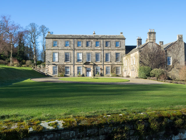
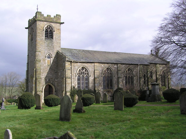
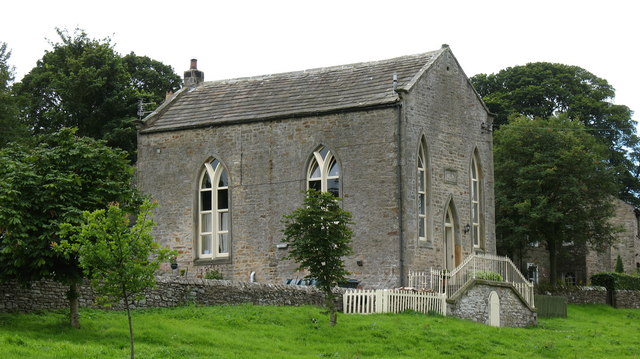
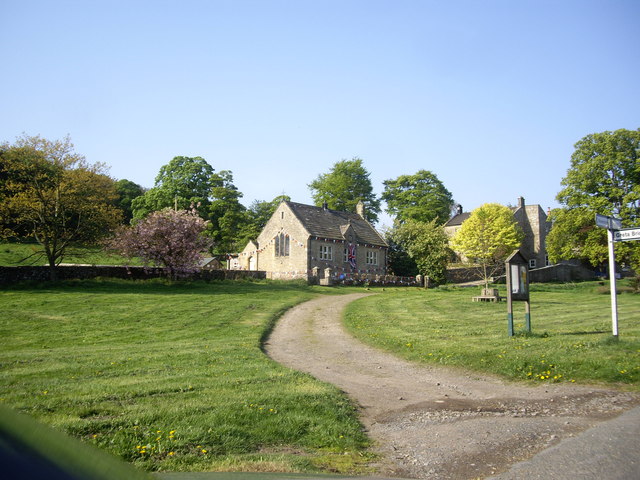
Barningham is a tranquil conservation village of around 60 houses. It has a large village green, a church, a stately hall occupied by a local landowning baronet, a village hall used by the Women's Institute and other local interest groups, and a tiny pub (no bar: they serve from the cellar). It is on the edge of moors stretching westwards to Cumbria and is a good base for walking the local dales and hills.
The village has an enthusiastic local history society which runs a website and offers assistance to anyone trying to trace ancestors from the area.
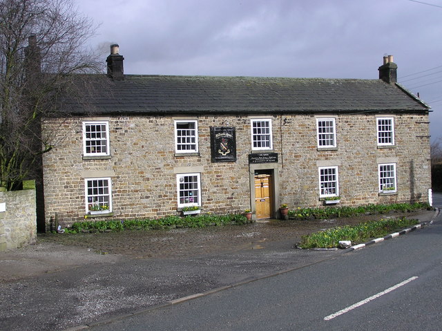
The Milbank Arms is a Grade II listed public house built in the early 19th century. It is on the Campaign for Real Ale's National Inventory of Historic Pub Interiors.
Visit the page: Barningham, County Durham for references and further details. You can contribute to this article on Wikipedia.
from http://barninghamvillage.co.u…
Barningham Village - and local history group
Added by
Simon Cotterill
Co-Curate Page
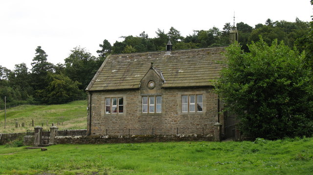
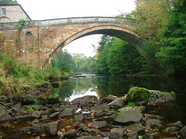
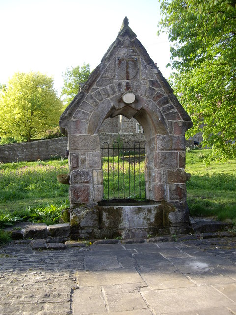
Historic Buildings and Monuments in Barningham Civil Parish
- Listed buildings and scheduled monuments in Barningham Civil Parish, County Durham, from the National Heritage List for England[1]. Use the Search (below) if looking for a specific building / monument. …

from http://barninghamvillage.co.u…
Barningham Village - and local history group
Added by
Simon Cotterill