Topics > Northumberland > Civil Parishes in Northumberland > Bardon Mill Civil Parish
Bardon Mill Civil Parish
Parish boundaries may have changed - for the latest map see the Parish Council or Northumberland County Council.
About the Parish
Bardon Mill Civil Parish is located about 8 miles west of Hexham and 4 miles east of Haltwhistle. The parish covers a wide geographical area, intersected by the River South Tyne. The parish extends northwards up past Hadrian's Wall and includes Howsteads Roman Fort. Bardon Mill Civil Parish was created in 1955 by the merger of Ridley Civil Parish and Thorngraften Civil Parish.
| Settlements: |
Bardon Mill (east part), Beltingham, Ridley, Scroggwood, Thorngrafton, and Westwood and several farms/hamlets, including: Allensgreen, Crow Hall, East Hotbank, Grandy's Knowe, High Barn, Hotbank, Partridge Nest, Penpeugh, Shankhead, Shaws, West Crinkledikes, West Hotbank, Wool House, and Willimontswick. Note: the west part of the village of Bardon Mill is in Henshaw Civil Parish. |
| Population: |
363 (2021 Census) 452 (2011 Census) 364 (2001 Census) |
| Area: | 33.6 km² |
| Parish Council: | Bardon Mill Parish Council |
| Unitary Authority: | Northumberland County Council |
Historical |
|
|
Ancient Townships: (in the modern CP area) |
The township included Riddley Hall, and the hamlets of Allen's Green, Beltingham, and Willimoteswick. Population: 191 in 1801, and 245 in 1851. Gazetteers (directories):
Population: 239 in 1801, and 305 in 1851. Gazetteers (directories):
Townships became civil parishes in their own right in 1866 (see below). |
| Ancient Parish: |
The ancient parish of Haltwhistle covered a much wider geographical area, compared to the modern civil parish. It included the townships of Bellister, Blenkinsopp, East Coanwood, Featherstone, Haltwhistle, Hartley-Burn, Henshaw, Melkridge, Plainmellor, Ridley, Thirlwall, Thorngrafton, and Wall-Town. Population: 2,930 in 1801, growing to 5,379 in 1851. Gazetteers (directories):
Ancient parishes refer to the parishes before the split between ecclesiastical (church) and civil parishes in the 19th century. They had a parish church and often were composed of multiple townships and chapelries. In many cases, townships and parishes were originally based on the territory of manors from the feudal system during medieval times. Civil parishes were created following the Poor Law Amendment Act 1866, in which Church of England parishes, extra-parochial areas, townships and chapelries, became "civil parishes" which could set their own poor rate (tax). The reforms of Local Government Act 1894 established elected civil parish councils (or parish meetings for parishes with less than 300 residents) and created urban and rural districts. Boundaries of parishes and civil parishes may have changed over time. |
| Ancient District: |
Tynedale (ward) |
| Poor Law Union: |
Haltwhistle Poor Law Union, formed in 1836. The Union workhouse was located on Greenholme Road in Haltwhistle. Under the Poor Law Amendment Act of 1834 parishes were grouped into Unions, each of which had to build a workhouse if they did not already have one. It ended the old system of locally provided poor relief which had come under strain as numbers out of work grew, following increasing mechanisation of agriculture and the economic downturn after the Napoleonic Wars, along with changing social attitudes. The workhouse provided those unable to support themselves financially with accommodation and work. Inmates were generally segregated into men, women, boys and girls. The workhouse system was abolished by the Local Government Act 1929, but many workhouses lived on as ‘Public Assistance Institutions’ until the National Assistance Act 1948. |
|
District Council: |
Haltwhistle Rural District (1894 - 1974). The district was abolished in 1974, following the Local Government Act 1972. Tynedale District (1974 - 2009). Tynedale covered the area of 5 former districts (Hexham Urban District, Prudhoe Urban District, Bellingham Rural District, Haltwhistle Rural District, and Hexham Rural District). The borough council was abolished when Northumberland County Council became a unitary authority on the 1st of April 2009. |
|
County / Unitary Authority |
In 1572 Parliament passed a bill annexing Hexham and Hexamshire to the County of Northumberland. The ancient county of Northumberland was enlarged following the Counties (Detached Parts) Act 1844; Bedlingtonshire, Norhamshire, Islandshire, the Farne Islands and Monks' House all became part of Northumberland. Up to then they had been enclaves of County Durham. Northumberland County Council formed 1889. Major boundary changes came into effect on the 1st April 1974. This followed the Local Government Act 1972, which formed the non-metropolitan county of Northumberland. This excluded the City of Newcastle upon Tyne and North Tyneside, which up to then had been part of Northumberland, but now became part of the newly formed Tyne & Wear. Northumberland County Council became a unitary authority on the 1st of April 2009. |
See also: ![]() Historic Buildings and Monuments in Bardon Mill Civil Parish. Note: listed buildings are generally the responsibility of the county council / unitary authority, rather than the parish council.
Historic Buildings and Monuments in Bardon Mill Civil Parish. Note: listed buildings are generally the responsibility of the county council / unitary authority, rather than the parish council.

Co-Curate Page
Bardon Mill
- Overview About Bardon Mill Map Street View Bardon Mill is a village in Northumberland, located about 16 miles west of Hexham and 9 miles east of Haltwhistle. It is situated …
Co-Curate Page
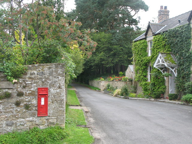
Beltingham
- Overview Map Street View Beltingham is a village in Northumberland located by the River South Tyne, near it's confluence with the River Allen. The village is located under a mile …
Co-Curate Page
Thorngrafton
- Extract from OS Map showing Westwood and Thorngrafton, surveyed 1860, CC-BY NLS
Co-Curate Page
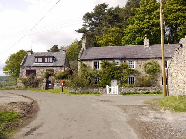
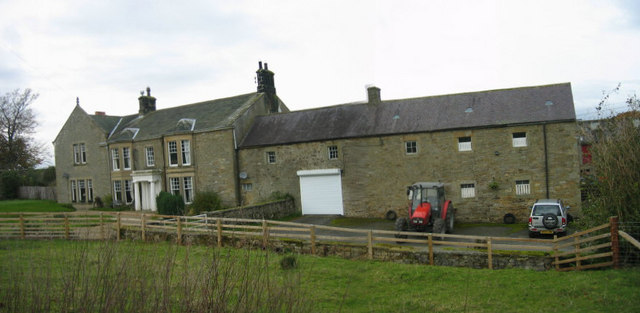
Ridley
- Overview Map Street View Ridley is a hamet associated with Ridley Hall, located about a quarter of a mile east of the village of Beltingham, near Bardon Mill in Northumberland.
from https://northumberlandparishe…
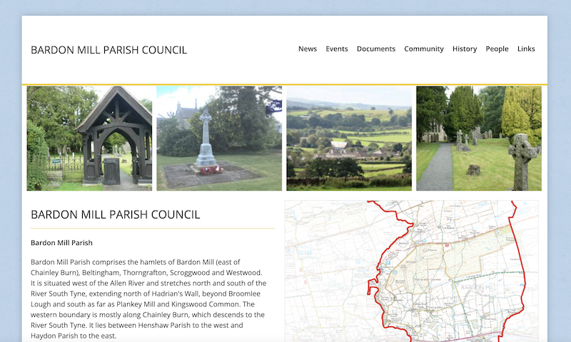
Bardon Mill Parish Council
- "Bardon Mill Parish comprises the hamlets of Bardon Mill (east of Chainley Burn), Beltingham, Thorngrafton, Scroggwood and Westwood. It is situated west of the Allen River and stretches north and …
Added by
Simon Cotterill
from https://web.archive.org/web/2…
Bardon Mill & Henshaw Parishes
- **This Website no longer exists - links to Internet Archive for historical interest**
"Bardon Mill and Henshaw is the community that comprises the hamlets of Bardon Mill, Beltingham, Henshaw, Thorngrafton, …
Added by
Peter Smith
Co-Curate Page
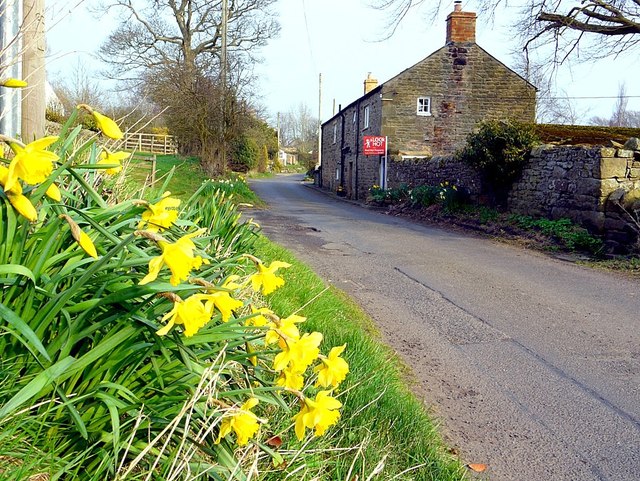
Westwood, Bardon Mill
- Overview Map Street View Westwood / Westwood Cottages is a hamlet in Northumberland, located about ¾mile north-west of Bardon Mill. It is situated by Chainley Burn. In the past, there …
Co-Curate Page
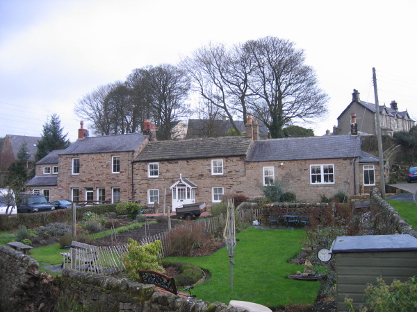
Willimontswick
- Overview Map Street View Willimontswick (aka Willimoteswick, Willimontswyke, Williams-Wyke) is a hamlet in Northumberland, located about a mile south-west of Bardon Mill and half mile west of Beltingham. Willimontswick Castle …

Co-Curate Page
Bardon Mill
- Overview About Bardon Mill Map Street View Bardon Mill is a village in Northumberland, located about 16 miles west of Hexham and 9 miles east of Haltwhistle. It is situated …
Co-Curate Page
Beltingham
- Overview Map Street View Beltingham is a village in Northumberland located by the River South Tyne, near it's confluence with the River Allen. The village is located under a mile …
Co-Curate Page
Thorngrafton
- Extract from OS Map showing Westwood and Thorngrafton, surveyed 1860, CC-BY NLS
Co-Curate Page
Ridley
- Overview Map Street View Ridley is a hamet associated with Ridley Hall, located about a quarter of a mile east of the village of Beltingham, near Bardon Mill in Northumberland.
from https://northumberlandparishe…
Bardon Mill Parish Council
- "Bardon Mill Parish comprises the hamlets of Bardon Mill (east of Chainley Burn), Beltingham, Thorngrafton, Scroggwood and Westwood. It is situated west of the Allen River and stretches north and …
Added by
Simon Cotterill
from https://web.archive.org/web/2…
Bardon Mill & Henshaw Parishes
- **This Website no longer exists - links to Internet Archive for historical interest**
"Bardon Mill and Henshaw is the community that comprises the hamlets of Bardon Mill, Beltingham, Henshaw, Thorngrafton, …
Added by
Peter Smith
Co-Curate Page
Westwood, Bardon Mill
- Overview Map Street View Westwood / Westwood Cottages is a hamlet in Northumberland, located about ¾mile north-west of Bardon Mill. It is situated by Chainley Burn. In the past, there …
Co-Curate Page
Willimontswick
- Overview Map Street View Willimontswick (aka Willimoteswick, Willimontswyke, Williams-Wyke) is a hamlet in Northumberland, located about a mile south-west of Bardon Mill and half mile west of Beltingham. Willimontswick Castle …

Northumberland
Civil Parishes in Northumberland
Allensgreen, Bardon Mill

East Hotbank

High Barn, Baron Mill
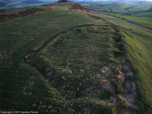
Hillfort and Roman signal station, Barcombe Hill
Historic Buildings and Monuments in Bardon Mill Civil Parish
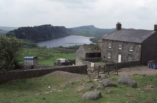
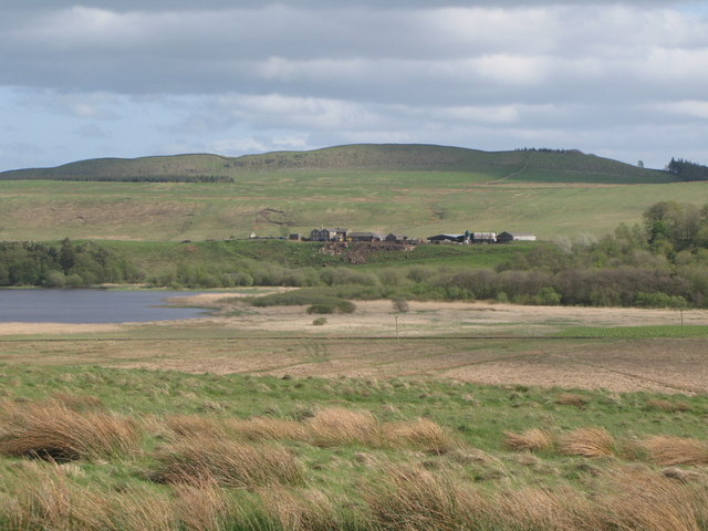
Hotbank Farm

Partridge Nest (farm), Bardon Mill
Shaws, Bardon Mill

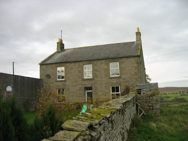
The Knowe, Bardon Mill
West Hotbank

Wool House, Bardon Mill


