Topics > Tyne and Wear > Sunderland > Ashbrooke
Ashbrooke
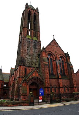
Ashbrooke is a residential area of Sunderland, North East England directly south and south-west of the city centre.
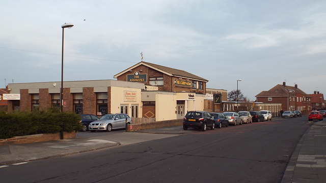
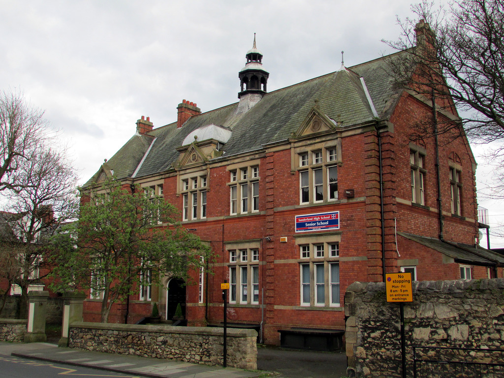
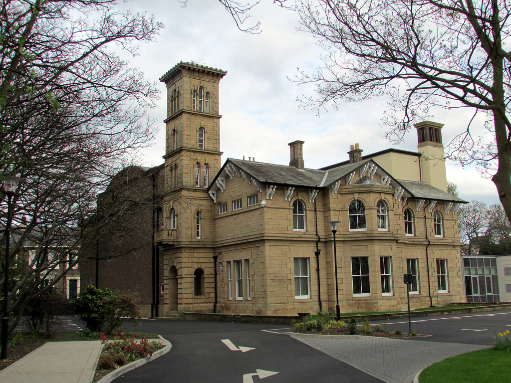
Ashbrooke developed through the Victorian era as Sunderland's first suburb. Originally occupied by large middle-class families, including much of Wearside's Jewish population, a fair number of the larger residences have been reorganised into dwellings of multiple occupancy, home to the local University of Sunderland's students and young professionals.
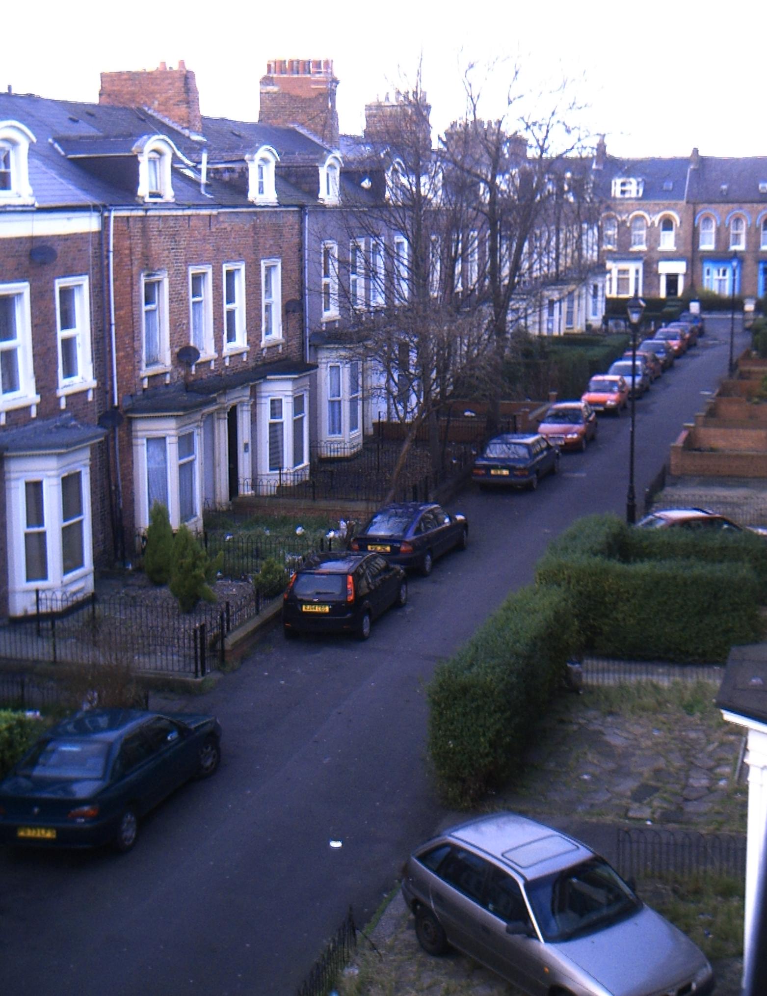
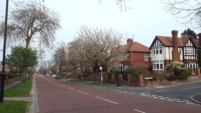
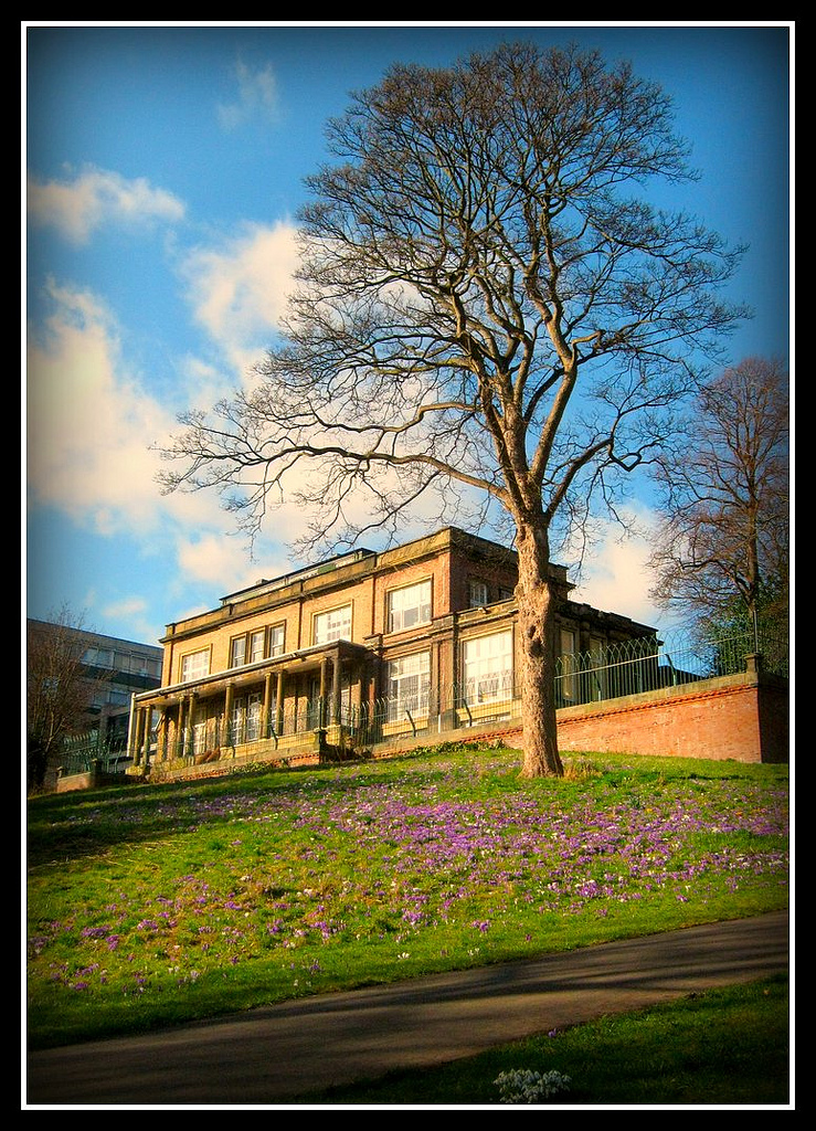
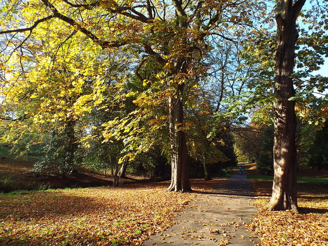
The large, well-built houses, the wide, tree-lined avenues, and the often colourful street names ('The Esplanade', 'The Oaks', 'The Elms', 'West Lawn', 'Holmlands Park') signify the area's affluence.
The area lies within walking distance of Park Lane and University stations on the Tyne and Wear Metro system.
Local punk band The Toy Dolls wrote a song about Ashbrooke Launderette on their 1987 album Bare Faced Cheek. Various members of the band still either live or work in Ashbrooke.
Ashbrooke is part of St. Michael's ward and is represented by three Conservative councillors.
Sport
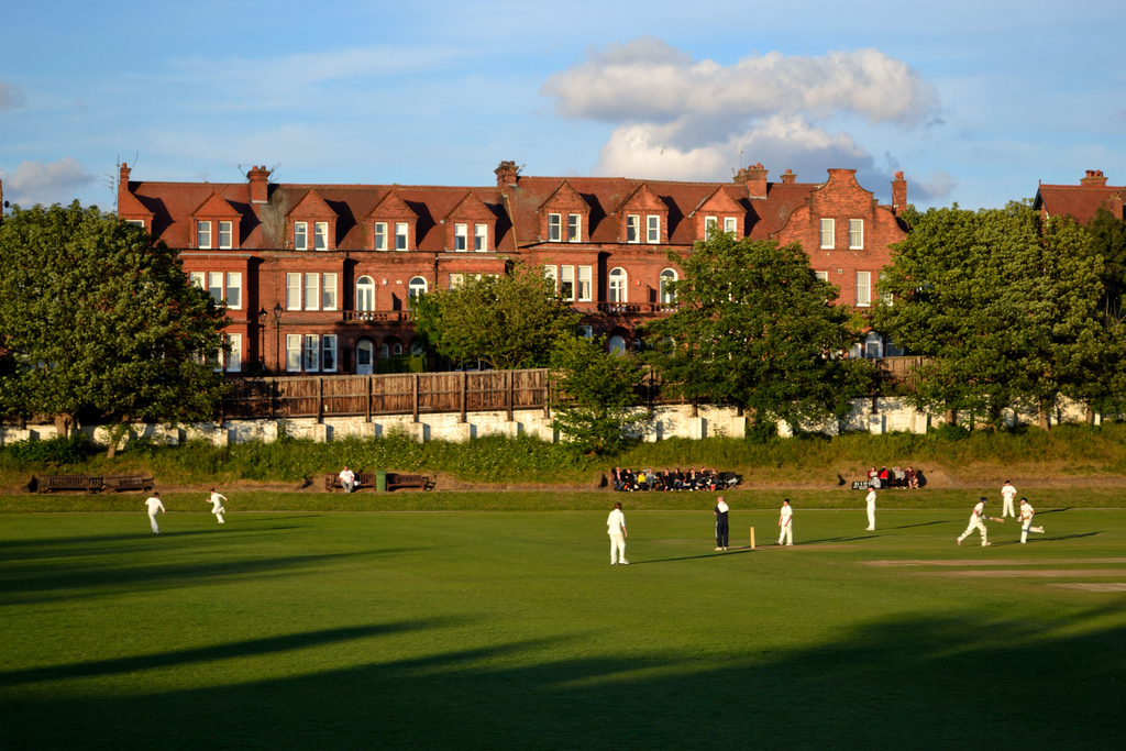
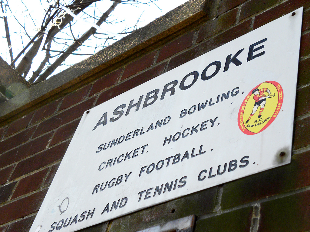
Ashbrooke Sports Ground, opened May 30, 1887 for cricket and rugby, is home to many amateur sports associations such as bowls, cricket, tennis, hockey, squash and rugby union. A Tennis tournament before Wimbledon was used as a warm up for players such as Jimmy Connors and Martina Navratilova.
from http://commons.wikimedia.org/…
A typical Victorian street in Ashbrooke
- By Craigy144 at en.wikipedia. CC-BY-SA-3.0
Added by
Pat Thomson
Co-Curate Page
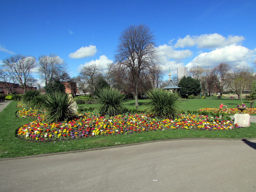
Mowbray Park
- Summary Map "Mowbray Park first opened in 1857, following a public health enquiry into the cholera epidemic of the 1840s. The enquiry recommended that a park should be built so …

from http://commons.wikimedia.org/…
A typical Victorian street in Ashbrooke
- By Craigy144 at en.wikipedia. CC-BY-SA-3.0
Added by
Pat Thomson


