Topics > County Durham > Archdeacon Newton > Archdeacon Newton Medieval Settlement
Archdeacon Newton Medieval Settlement
Note: Scheduled Monument area - map data from Historic England c/o Open Data UK, under the Open Government Licence, imported into Google MyMaps, March 2026.
Archdeacon Newton is the site of a medieval deserted settlement, a moated manorial site, and remnants of a 15th-century chapel. It was held by the Archdeacon of Durham, and the site consists of a rectangular wet ditch surrounding the former manor, with nearby toft enclosures and traces of ridge-and-furrow farming. The site is a Scheduled Monument.
Scheduled Monument (#1015841): Archdeacon Newton moated site, deserted manorial settlement and section of rig and furrow
Click the headings below to expand (selected extracts from the Historic England scheduling)
Medieval manorial settlements, comprising small groups of houses with associated gardens, yards and paddocks, supported communities devoted primarily to agriculture, and acted as the foci for manorial administration. Although the sites of many of these settlements have been occupied continuously down to the present day, many others declined in size or were abandoned at some time during the medieval and post-medieval periods, particularly during the 14th and 15th centuries. The reasons for desertion were varied but often reflected declining economic viability, changes in land use such as enclosure or emparkment, or population fluctuations as a result of widespread epidemics such as the Black Death. As a consequence of their abandonment, these settlements are frequently undisturbed by later occupation and contain well-preserved archaeological deposits, providing information on the diversity of medieval settlement patterns and farming economy, and on the structure and changing fortunes of manorial communities.
The moated manorial site and the deserted manorial settlement of Archdeacon Newton are reasonably well preserved and retain significant archaeological deposits. They form an important medieval complex which will add greatly to our understanding of medieval settlement and society.
The monument includes the remains of a medieval settlement, a moated manorial site and a fragment of rig and furrow at Archdeacon Newton, situated on the East Durham Plateau. The remains of the Archdeacon of Durham's manor are contained within an irregularly shaped enclosure. This enclosure measures 365m north to south by 210m east to west and is bounded by a bank, which in places is flanked by the remains of an outer ditch. The enclosing bank is clearly visible as an earthwork on the eastern side of the monument and at the north western corner where it stands up to 1m high. Parts of the western side are visible as slight earthworks and it is thought that the buried remains of the bank also survive on this side.
The moated site is situated at the southern end of the monument and is visible as the fragmentary remains of a strongly defended rectangular ditched enclosure with double defences on its eastern side. The ditch is most pronounced at the north west and south west angles where it is 20m wide and up to 2m deep. Elsewhere, the moat has become infilled but it survives above ground as a slight earthwork and below ground level as a buried feature.
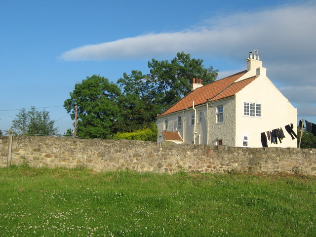
The island of the moat is occupied by a group of late 18th or 19th century buildings but one medieval building survives on the island. This building known as the Old Hall is thought to be the remains of a service wing which was attached to the original medieval manor house of which there are no surface remains. The size and nature of the stonework of the service wing suggest that the manor house itself was a large complex. Indeed, a document of 1570 which is thought to refer to the Manor House lists the Hall, the Parlour above the Hall, the Chamber over the Hall, the New Chamber, The Little Chamber, the Loft beneath the Doors, the Buttery, the Kitchen and the Stable.
The northern part of the monument is divided into a series of small rectangular enclosures, orientated east to west, by parallel linear banks standing 0.6m high and ditches 0.3m deep. At the extreme northern end of the monument there is a large raised triangular platform up to 2m high bounded by a ditch on its south side. This is thought to be the site of a chapel referred to in a document of 1414 in which Robert Fisher, John Nicholson and John Deves were granted licence for divine service to celebrated in a chapel at Archdeacon Newton.
Immediately west of the western side of the settlement enclosure wall there is a section of medieval rig and furrow cultivation. This cultivation is part of the once extensive field system which surrounded the medieval settlement. The exact relationship between the cultivation and the enclosure wall is uncertain but the rig and furrow appears to be later in date. This area is included in the scheduling.
A number of features within the area are excluded from the scheduling; these are the metalled surfaces of all roads, drives, paths, hard-standing areas and farmyards as well as all stone walls, fences, gate posts and hedges which cross the monument. Also excluded are all buildings and associated structures situated on the island of the moated site including the medieval building which is Listed Grade II*; the ground beneath these features is included.