Topics > County Durham > Bearpark > Aldin Grange Bridge
Aldin Grange Bridge
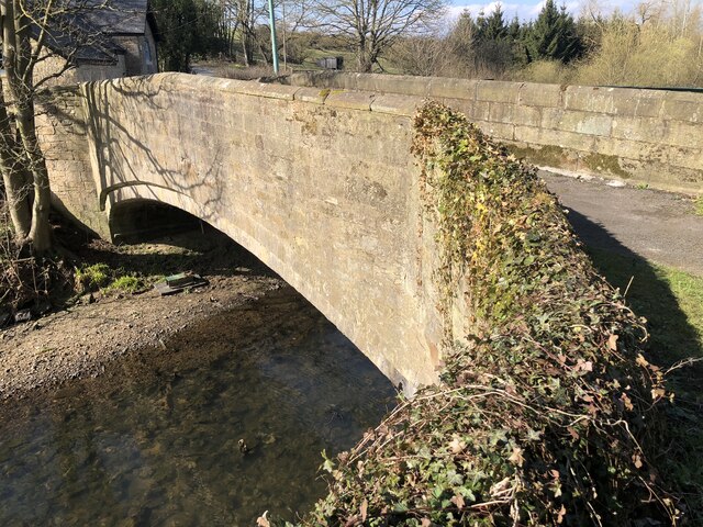
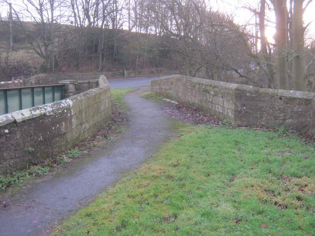
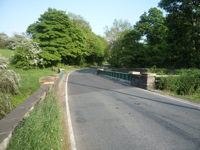
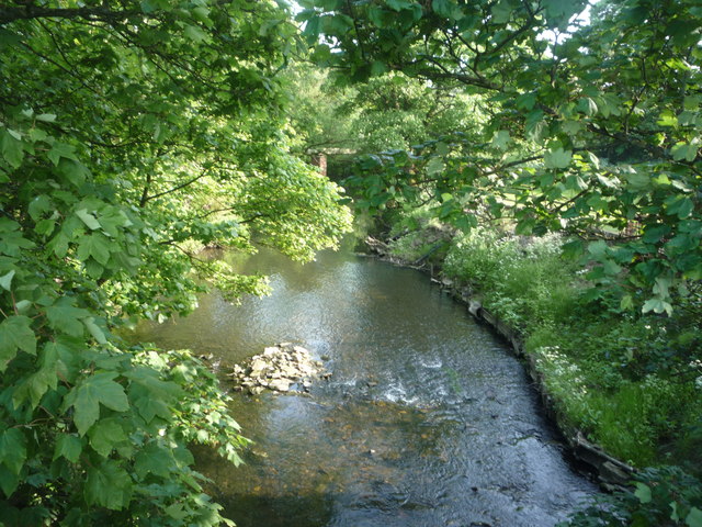
Aldin Grange Bridge over the River Browney is located east of Bearpark. The bridge dates from the 15th century. It is now a pedestrian bridge, since the main road was diverted over the close-by modern bridge. Aldin Grange Bridge is a Scheduled Monument and Grade II listed on the National Heritage List for England.

from https://historicengland.org.u…
ALDIN GRANGE BRIDGE - Bearpark - List Entry
- Bridge. Possibly C15, on earlier site. Coursed squared sandstone with ashlar dressings. Chamfered wide 3-centred arch rests on inner imposts. Parapets, which sweep out at end of bridge, have chamfered …
Added by
Simon Cotterill

")

