Topics > Historical Periods > 19th Century > 1800s > 1807
1807
National:
- 25th March 1807; following public campaigning the Slave Trade Act was passed by Parliament, officially abolishing the trading of slaves in the British Empire (banning the purchase, sale, or transfer of enslaved people within the Empire - existing slaves in the colonies were not freed until 1833). See: Abolitionist Movement
In Northern England:
- 1807: Hartford Hall built, near Bedlington
- 1807: Brampton and Longtown Turnpike Trust established
Co-Curate Page
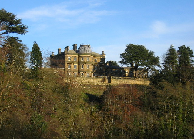
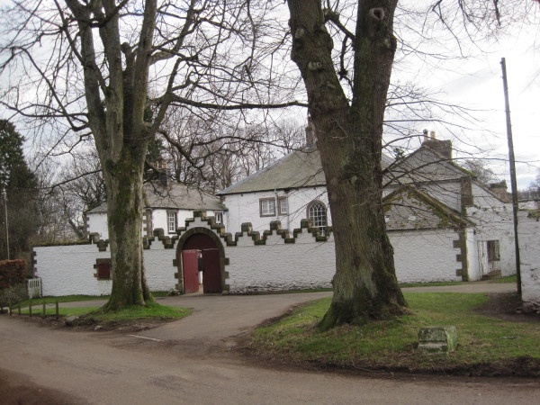
Hartford Hall
- Overview Map Hartford Hall is a large country house located by Hartford Bridge near Bedlington in Northumberland. The Hall was built in 1807 by William Stokoe for William Burdon (1764–1818), …
Co-Curate Page
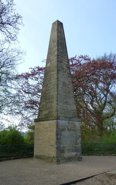
Nelson Memorial, Old Swarland
- Overview About the Monument Map Street View Davison's Obelisk is a monument to Lord Nelson by the Old A1 road, to the south-east of Swarland in Northumberland. The monument was …
Co-Curate Page
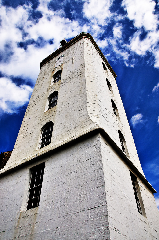
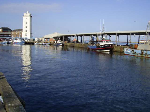
Low Light
- Overview Map Street View The "New" Low Light on North Shields Fish Quay was built 1805-1808 by Trinity House and first lit in 1810.[1]. In conjunction with the High Light in …
Co-Curate Page
Middleton Hall, near Wooler
- Overview Map Street View Middleton Hall in Earle, near Wooler, was built in 1807. The hall was built on the site of a medieval basstle house and Middleton Hall (sometimes …
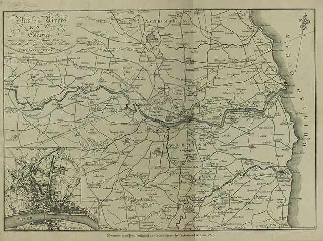
from Newcastle libraries (flickr)
Plan of the rivers Tyne and Wear with the collieries, wagonways and staiths, thereon, and the principal roads and villages, 1807
Pinned by Simon Cotterill
Co-Curate Page
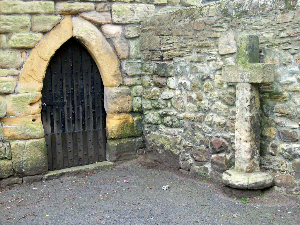
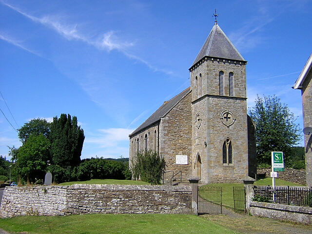
United Reformed Church
- Overview Map Street View The United Reformed Church is located near The Croft in Falstone. It was originally built in 1807 as a Presbyterian chapel for the North Tyne congregation.[1] …


Co-Curate Page
Hartford Hall
- Overview Map Hartford Hall is a large country house located by Hartford Bridge near Bedlington in Northumberland. The Hall was built in 1807 by William Stokoe for William Burdon (1764–1818), …
Co-Curate Page
Nelson Memorial, Old Swarland
- Overview About the Monument Map Street View Davison's Obelisk is a monument to Lord Nelson by the Old A1 road, to the south-east of Swarland in Northumberland. The monument was …
Co-Curate Page
Low Light
- Overview Map Street View The "New" Low Light on North Shields Fish Quay was built 1805-1808 by Trinity House and first lit in 1810.[1]. In conjunction with the High Light in …
Co-Curate Page
Middleton Hall, near Wooler
- Overview Map Street View Middleton Hall in Earle, near Wooler, was built in 1807. The hall was built on the site of a medieval basstle house and Middleton Hall (sometimes …
from Newcastle libraries (flickr)
Plan of the rivers Tyne and Wear with the collieries, wagonways and staiths, thereon, and the principal roads and villages, 1807
Pinned by Simon Cotterill