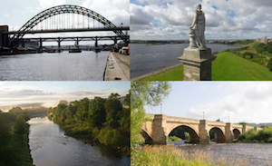
Topics > Geography > Rivers > River Tyne > Whittle Burn
Whittle Burn
The map also shows Welton Burn and Sparrow Letch (north of the reservoirs) - tributaries of Whittle Burn
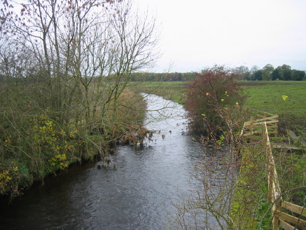
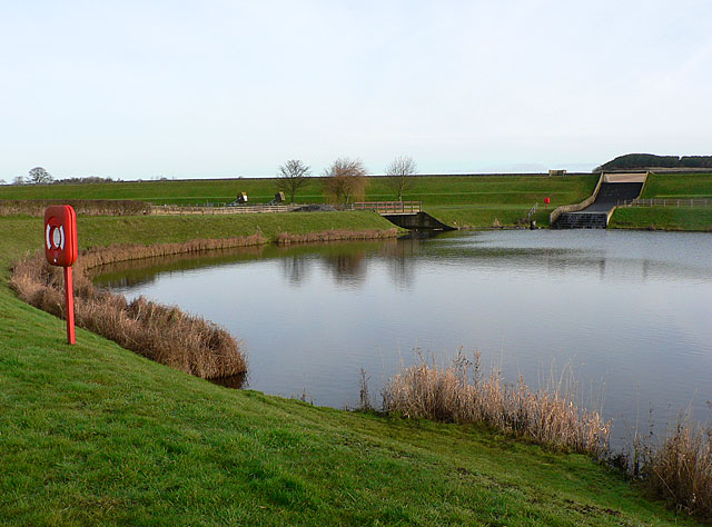
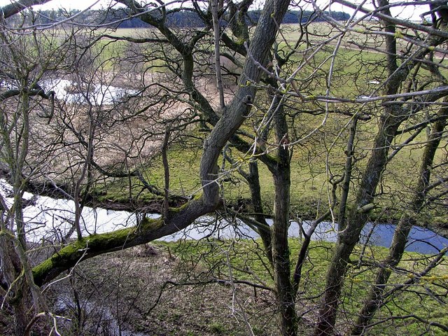
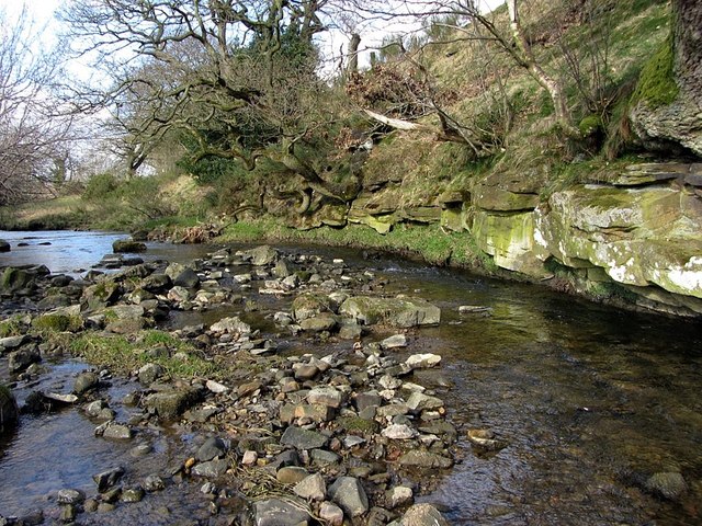
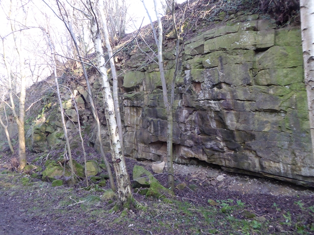
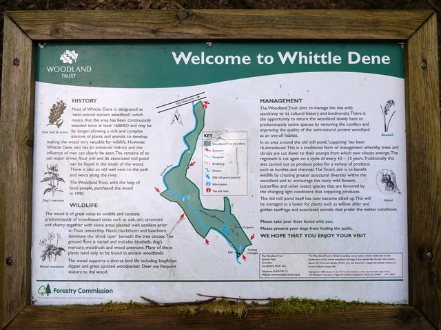
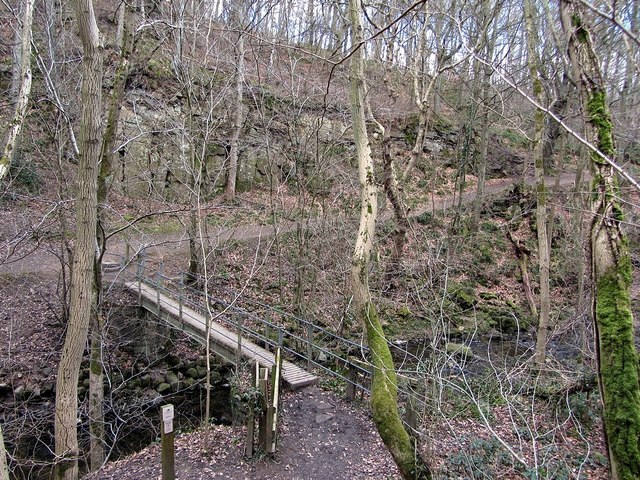
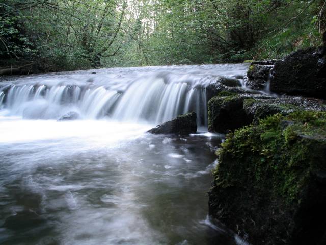
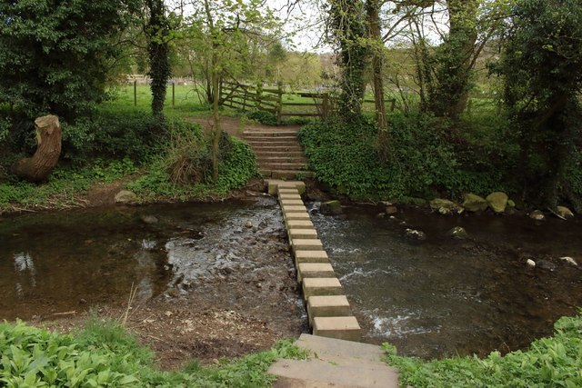
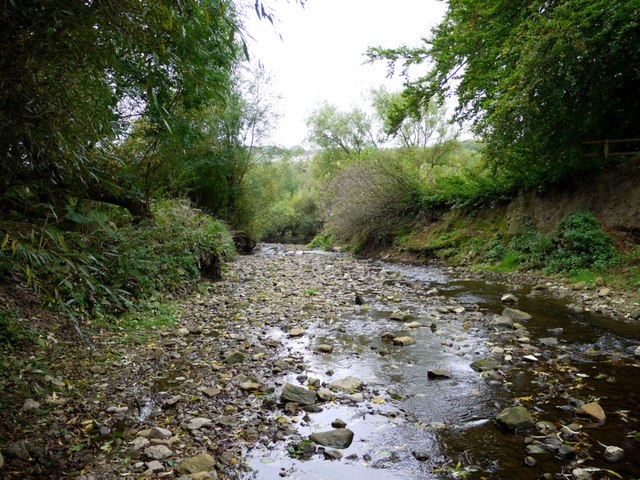
Whittle Burn is a tributary of the River Tyne. It flows in a roughly southerly direction and joins the Tyne at Ovingham. The burn is about 16 km long with a catchment area of 29 km2.[1] The upper sections of the burn are heavily modified, with an intricate network of watercourses/aqueducts built in the 19th century, which link reservoirs at Colt Crag, Hallington and Whittle Dene. This includes both open water courses and tunnels. The lower sections of Whittle Burn form the deep steep-sided valley of Whittle Dene, with an ancient woodland, managed by the Woodland Trust.

Co-Curate Page
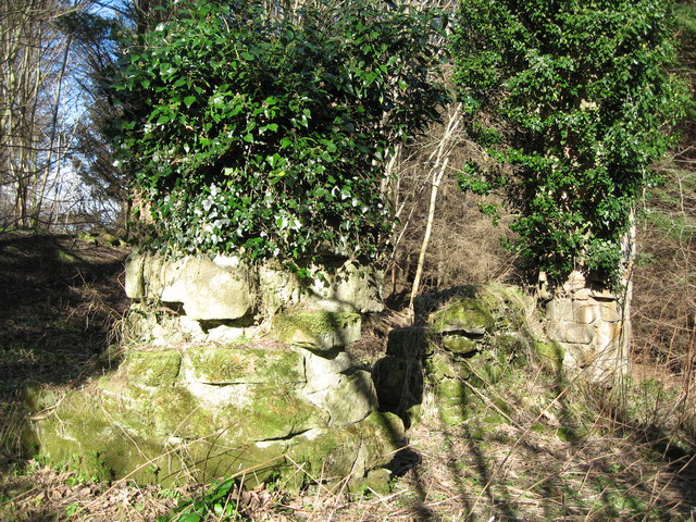
Nafferton Castle (ruins)
- Overview Map This is the earthwork remains of a 13th century castle and a later 15/16th century tower house, standing on the western edge of Whittle Burn. The tower is …
Co-Curate Page
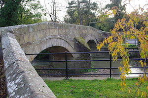
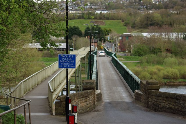
Ovingham
- Overview About Ovingham Map Street View Ovingham is a civil parish and village in the Tyne Valley, Northumberland. Ovingham is a civil parish and village in the Tyne Valley of …
Co-Curate Page
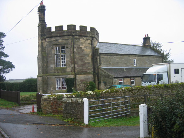
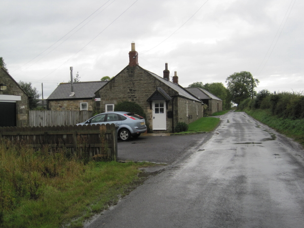
Superintendant's House, Whittle Dene Reservoir
- Overview Map Street View This house by Whittle Dene Resevoirs was built in 1848 by John Dobson for the Newcastle and Gateshead Water Co. The former Superintendant's house is Grade …
Co-Curate Page
Welton
- Overview Map Street View Welton is a hamlet and farm in Northumberland, located about 11 miles WNW of Newcastle and 2 miles north-west of the village of Horsley. It is …

Co-Curate Page
Nafferton Castle (ruins)
- Overview Map This is the earthwork remains of a 13th century castle and a later 15/16th century tower house, standing on the western edge of Whittle Burn. The tower is …
Co-Curate Page
Ovingham
- Overview About Ovingham Map Street View Ovingham is a civil parish and village in the Tyne Valley, Northumberland. Ovingham is a civil parish and village in the Tyne Valley of …
Co-Curate Page
Superintendant's House, Whittle Dene Reservoir
- Overview Map Street View This house by Whittle Dene Resevoirs was built in 1848 by John Dobson for the Newcastle and Gateshead Water Co. The former Superintendant's house is Grade …