Topics > Northumberland > Studdon
Studdon
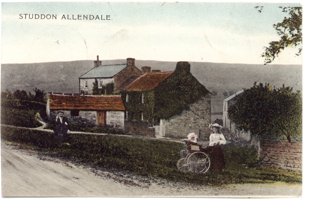
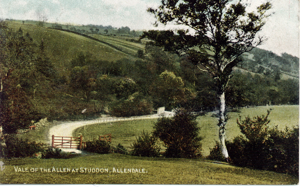
Studdon is a hamlet in the valley of the River East Allen, located just over a mile south of Allendale Town. Allendale Golf Club and the hamelet of High Studdon are located about half a mile south east of Studdon. Nearby are Studdon Park and Sinderhope.
from Allen Valleys Local History (flickr)
Studdon November 1980 [0002-031]
Pinned by Simon Cotterill
Co-Curate Page
Allendale Town
- Overview About Allendale Allendale in 1833 Map Street View What was written about Allendale in 1833: ALLENDALE a parochial chapelry in Northumberland with a population of 5540 inhabitants in …
Co-Curate Page
Sinderhope
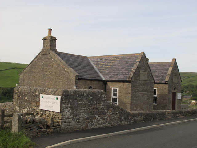
- Overview About Sinderhope Map Street View Sinderhope is a village by the River East Allen, located 2 miles south of Allendale Town in Northumberland. The population is spread over a …

from Allen Valleys Local History (flickr)
Studdon November 1980 [0002-031]
Pinned by Simon Cotterill
Co-Curate Page
Allendale Town
- Overview About Allendale Allendale in 1833 Map Street View What was written about Allendale in 1833: ALLENDALE a parochial chapelry in Northumberland with a population of 5540 inhabitants in …


