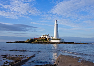
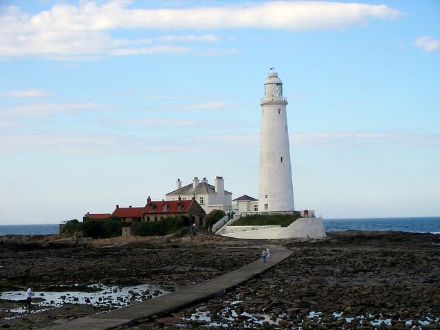
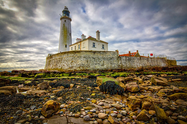
Topics > Tyne and Wear > North Tyneside > Whitley Bay > St Mary's Island and Lighthouse > St Mary's Island Conservation Area
St Mary's Island Conservation Area
%
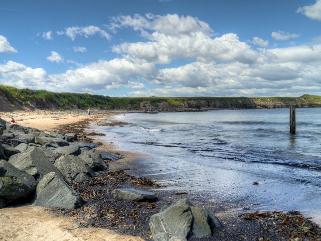
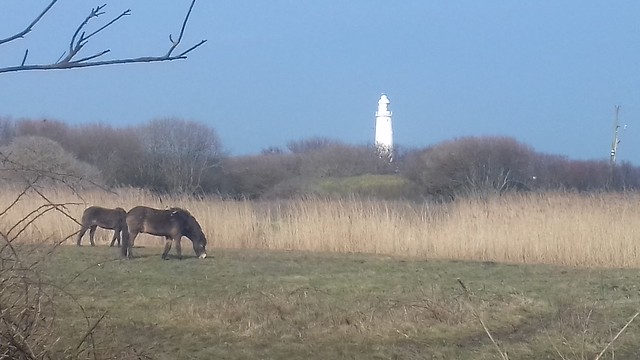
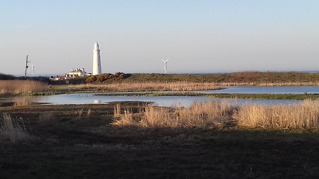
The conservation area incorporates not only St Mary's Island, but also the surrounding rocky landscape and the mainland area around it, including a nature reserve and 2 Sites of Special Scientific Interest (SSSIs). The conservation area extends north to the border of North Tyneside and Northumberland.
Note: Map data from North Tyneside Council c/o Open Data UK, under the Open Government Licence, imported into Google MyMaps, February 2026. Check with NTC for amendments and updates.

from https://legacy.northtyneside.…
St. Mary’s Island Conservation Area: Character Appraisal
- A detailed document including photos, maps and historical information about the conservation area.
Added by
Simon Cotterill
Co-Curate Page
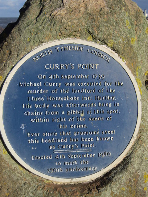
Curry's Point
- Curry's Point is located to the north of Whitley Bay and is a promontory (part of the mainland which extends out to sea) and leads to the causeway connecting to …

from https://legacy.northtyneside.…
St. Mary’s Island Conservation Area: Character Appraisal
- A detailed document including photos, maps and historical information about the conservation area.
Added by
Simon Cotterill
Co-Curate Page
Curry's Point
- Curry's Point is located to the north of Whitley Bay and is a promontory (part of the mainland which extends out to sea) and leads to the causeway connecting to …