Topics > County Durham > Civil Parishes in County Durham > Spennymoor Town Council Area
Spennymoor Town Council Area
Area: 30.5 km²
Population:
22,438 (2021 Census)
19,816 (2011 Census)
19,148 (2001 Census)

from https://www.spennymoor-tc.gov…
Spennymoor Town Council
- "....The town of Spennymoor, and the villages of Byers Green, Kirk Merrington and Tudhoe, are in the North East of England, situated on high land above the south side of …
Added by
Simon Cotterill
Co-Curate Page
Spennymoor
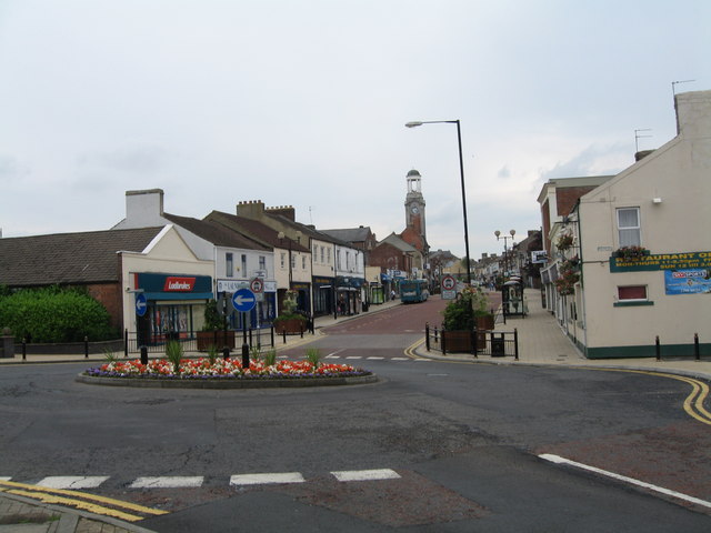
- Overview About Spennymoor Map Street View Spennymoor is a town in County Durham, England. It stands above the Wear Valley approximately seven miles south of Durham. The town was …
Co-Curate Page
Kirk Merrington
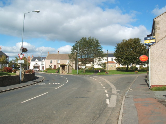
- Overview Map Street View The village of Kirk Merrington is part of the Spennymoor township, located between the towns of Bishop Auckland and Ferryhill.

Co-Curate Page
Tudhoe
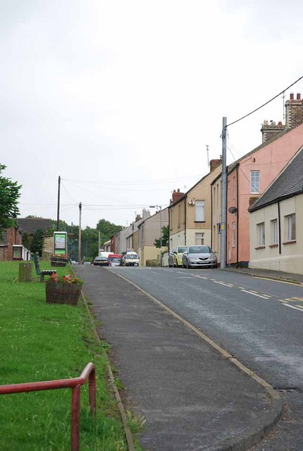
- Overview About Tudhoe Map Street View Tudhoe is a village in County Durham which is adjacent to Spennymoor. Tudhoe is a village in County Durham, in England. It is situated …
Co-Curate Page
Byers Green
- Overview About Byers Green Map Street View Byers Green is a village in County Durham, located close to the River Wear and a mile and a half West of Spennymoor. The …
Co-Curate Page
Whitworth
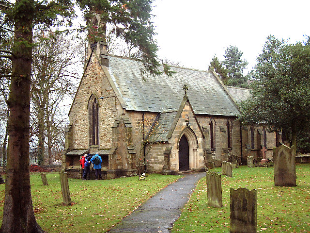
- Overview About Whitworth Map Street View Whitworth was a civil parish in County Durham, in England, centred on Whitworth Hall. It was one of several parishes abolished in 1937 …
Co-Curate Page
Old Park, County Durham
- Overview Map Street View Old Park Hall Farm is located about 1½ miles west of Spennymoor and 3½ miles north of Bishop Auckland. The farmhouse here is by the site …

from https://www.spennymoor-tc.gov…
Spennymoor Town Council
- "....The town of Spennymoor, and the villages of Byers Green, Kirk Merrington and Tudhoe, are in the North East of England, situated on high land above the south side of …
Added by
Simon Cotterill
Co-Curate Page
Spennymoor
- Overview About Spennymoor Map Street View Spennymoor is a town in County Durham, England. It stands above the Wear Valley approximately seven miles south of Durham. The town was …
Co-Curate Page
Kirk Merrington
- Overview Map Street View The village of Kirk Merrington is part of the Spennymoor township, located between the towns of Bishop Auckland and Ferryhill.
Co-Curate Page
Tudhoe
- Overview About Tudhoe Map Street View Tudhoe is a village in County Durham which is adjacent to Spennymoor. Tudhoe is a village in County Durham, in England. It is situated …
Co-Curate Page
Byers Green
- Overview About Byers Green Map Street View Byers Green is a village in County Durham, located close to the River Wear and a mile and a half West of Spennymoor. The …
Co-Curate Page
Whitworth
- Overview About Whitworth Map Street View Whitworth was a civil parish in County Durham, in England, centred on Whitworth Hall. It was one of several parishes abolished in 1937 …


