Topics > Newcastle City Centre > Newcastle Quayside (area) > Silver Street (medieval)
Silver Street (medieval)
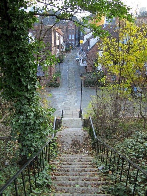
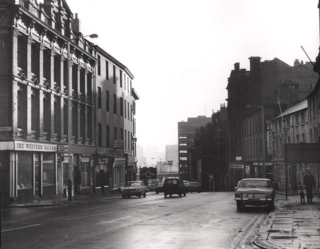
A former medieval street in Newcastle upon Tyne which ran along the north side of the churchyard of All Saints' Church before the redevelopment of lower Pilgrim Street and the All Saints area. (Dog Bank ran along the south side of the churchyard). It was called All Saints or All Hallows Street, and then later Silver Street.[1] It was a thoroughfare between the ancient Towns of Newcastle and Pandon in Medieval times. It was initially an afluent area, where merchants and lawyers lived, but later became a 'slum' when when the wealthy familes moved out to the suburbs.
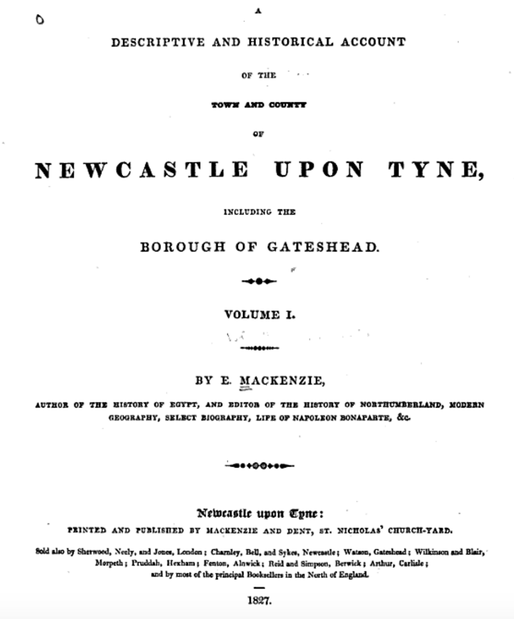
"At this place Pilgrim Street becomes narrower; and further down, on the east side, is Silver Street, which leads down a very steep hill, impassable for carriages, to Pandon. This street appears to have had several names: it was anciently called All-Hallow-gate, as also Temple-gate, it should seem from the circumstance of its communicating with All Saints' church. It occurs too in old writings with the name of Jew-gate, which, as well as its present name, probably originated in the same cause, that is, from the place being principally inhabited by Jews who dealt in silver plate. There is at present a Presbyterian meeting-house in this street. Below Silver Street, and on the west side of Pilgrim Street, there is a long descent, by steps, to the foot of the Butcher Bank. This passage is called George's Stairs." (Eneas Mackenzie, 1827)
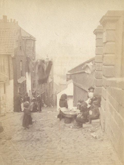
from Newcastle libraries (flickr)
041108:Silver Street Newcastle upon Tyne Dodds Edwin c.1884
Pinned by Simon Cotterill
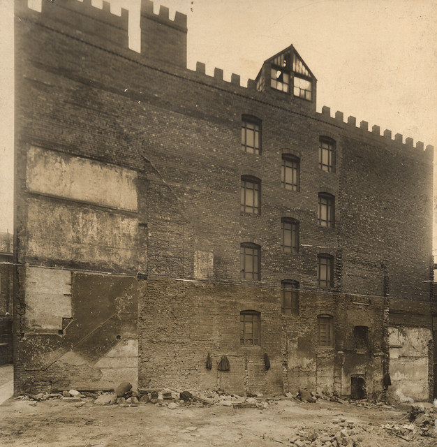
from Newcastle libraries (flickr)
051173:Silver Street Newcastle upon Tyne Thompson Harry 1910
Pinned by Simon Cotterill
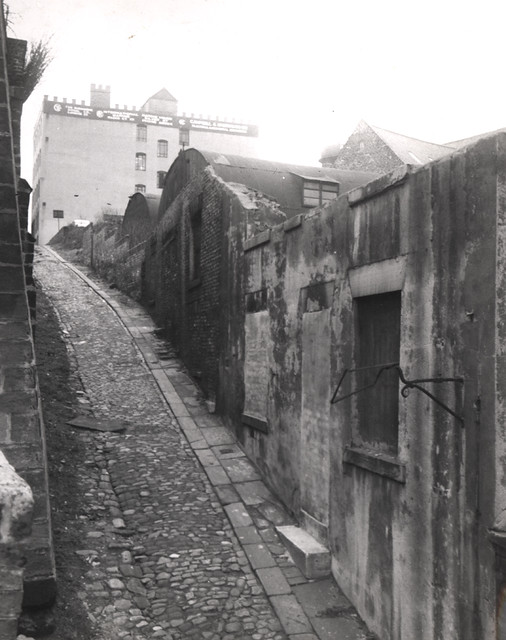
from Newcastle libraries (flickr)
030488:Silver Street Newcastle upon Tyne 1952
Pinned by Simon Cotterill
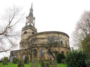
Co-Curate Page
All Saints Church
- Overview About the Church Map Street View All Saints Church in Newcastle city centre was a parish church built 1786-1796 by David Stephenson, replacing an earlier medieval church. Its spire …

from http://twsitelines.info/SMR/1…
Tyne and Wear HER(11101): Newcastle, medieval town
- "Newcastle developed at the lowest bridging point across the River Tyne, where the river is fairly narrow and flows between high steep banks. Several streams flowed into the Tyne through …
Added by
Simon Cotterill
Co-Curate Page
Dog Bank
- Overview Map Street View Dog Bank is a narrow street in Newcastle upon Tyne, which joins Akenside Hill and runs around the south edge of the churchyard of All Saints …
Co-Curate Page
Pilgrim Street
- Overview Map Street View Pilgrim Street is one of the main roads in Newcastle city centre. It runs on from the south end of Northumberland Street down to the Swan …
from https://books.google.co.uk/bo…
A Descriptive and Historical Account of the Town and County of Newcastle Upon Tyne: Including the Borough of Gateshead. Eneas Mackenzie, 1827.
- Digitised Google eBook.
Added by
Simon Cotterill
Co-Curate Page
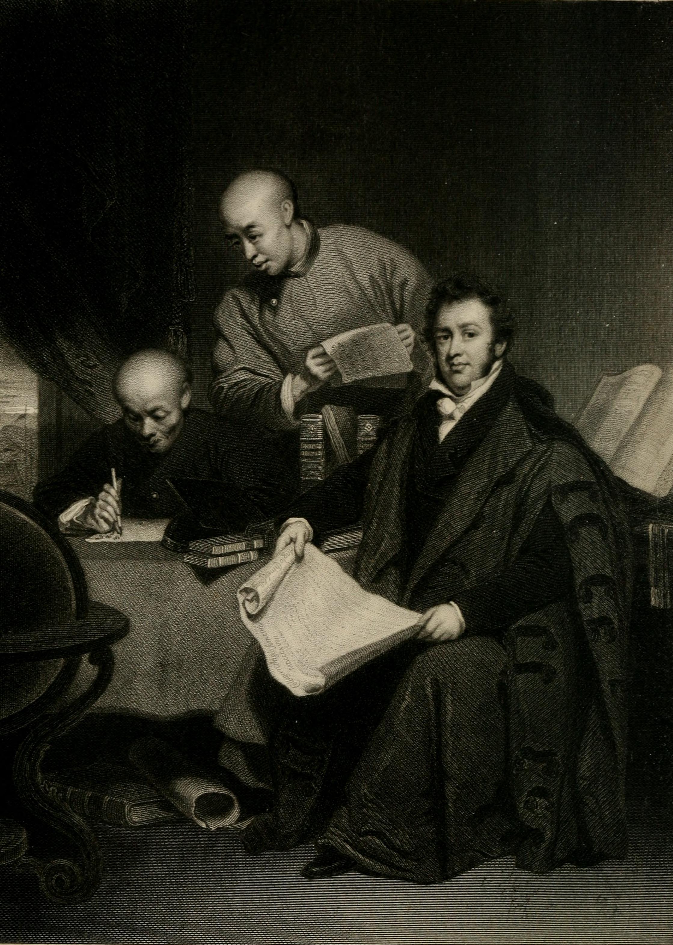
Rev. Robert Morrison (1783 - 1834)
- Overview About Robert Morrison 1834 "August 1 - Died at Canton, aged 52, the Rev. Robert Morrison, D.D. This distinguished missionary and oriental scholar was born at Wingates, in the …


from Newcastle libraries (flickr)
041108:Silver Street Newcastle upon Tyne Dodds Edwin c.1884
Pinned by Simon Cotterill

from Newcastle libraries (flickr)
051173:Silver Street Newcastle upon Tyne Thompson Harry 1910
Pinned by Simon Cotterill

from Newcastle libraries (flickr)
030488:Silver Street Newcastle upon Tyne 1952
Pinned by Simon Cotterill

Co-Curate Page
All Saints Church
- Overview About the Church Map Street View All Saints Church in Newcastle city centre was a parish church built 1786-1796 by David Stephenson, replacing an earlier medieval church. Its spire …

from http://twsitelines.info/SMR/1…
Tyne and Wear HER(11101): Newcastle, medieval town
- "Newcastle developed at the lowest bridging point across the River Tyne, where the river is fairly narrow and flows between high steep banks. Several streams flowed into the Tyne through …
Added by
Simon Cotterill

Co-Curate Page
Dog Bank
- Overview Map Street View Dog Bank is a narrow street in Newcastle upon Tyne, which joins Akenside Hill and runs around the south edge of the churchyard of All Saints …

Co-Curate Page
Pilgrim Street
- Overview Map Street View Pilgrim Street is one of the main roads in Newcastle city centre. It runs on from the south end of Northumberland Street down to the Swan …

from https://books.google.co.uk/bo…
A Descriptive and Historical Account of the Town and County of Newcastle Upon Tyne: Including the Borough of Gateshead. Eneas Mackenzie, 1827.
- Digitised Google eBook.
Added by
Simon Cotterill


