Topics > County Durham > Sherburn Hill
Sherburn Hill
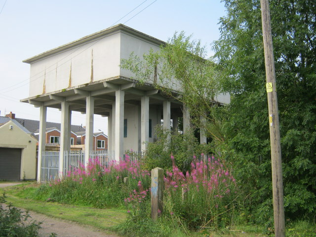
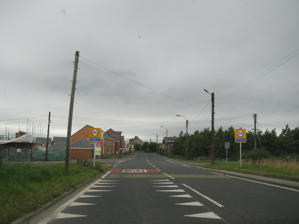
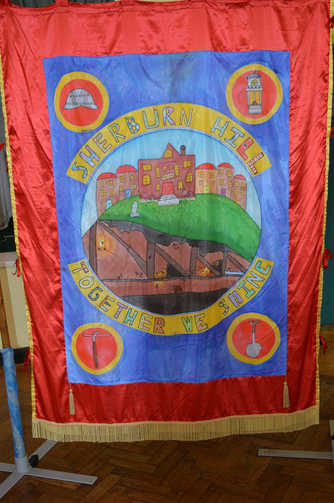
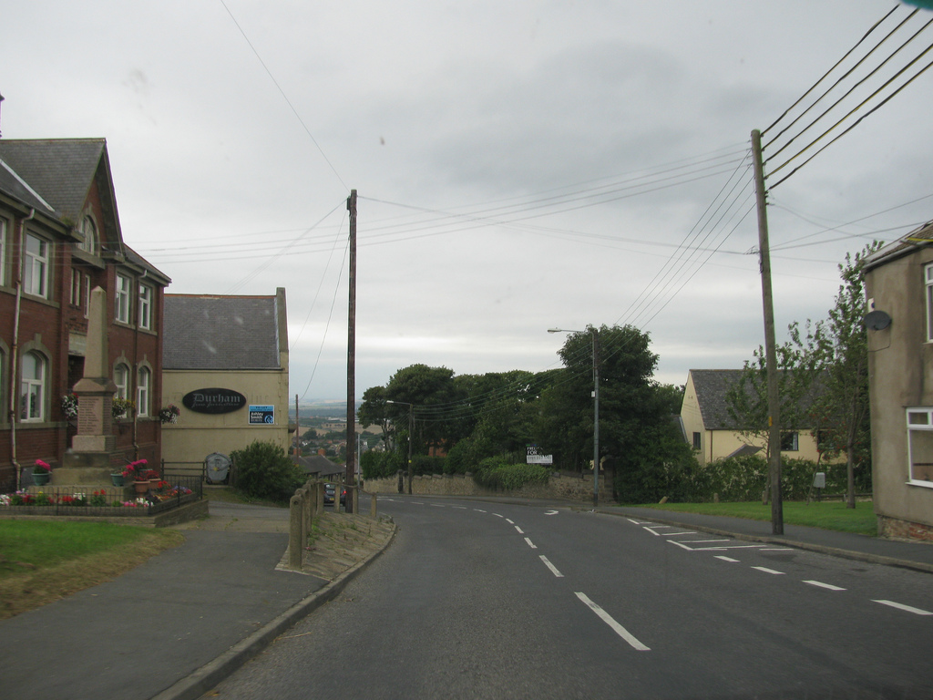
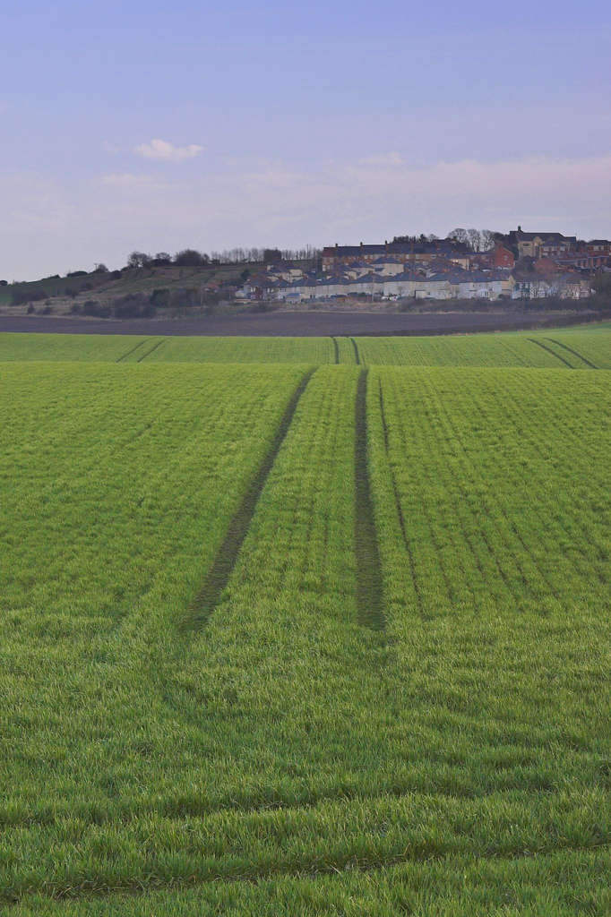
Sherburn Hill is a village in County Durham, located about 4 miles east of the city of Durham. Nearby, Sherburn Village is less than a mile to the east, and Shadforth is a similar distance to the south. Sherburn Hill is one of the three villages with the civil parish of Shadford. Much of the growth of Sherburn Hill can be attributed to coal mining, with Sherburn Hill Colliery opening in 1835. The colliery regularly employed over a thousand people, until it closed in 1965. The village war memorial is Grade II listed, and inscribed with the names of 50 local men who gave their lives in the First World War, and 15 people who died in WW2. Today Sherburn Hill is largely a residential village, located on the B1283 road, giving commuters easy access to Durham. There is also a large timber mill to the north-east of the village, as well as a number of farms in the area.
Sherburn Hill is a village in County Durham, in England. It is situated to the east of Sherburn. Its grid reference is NZ335421
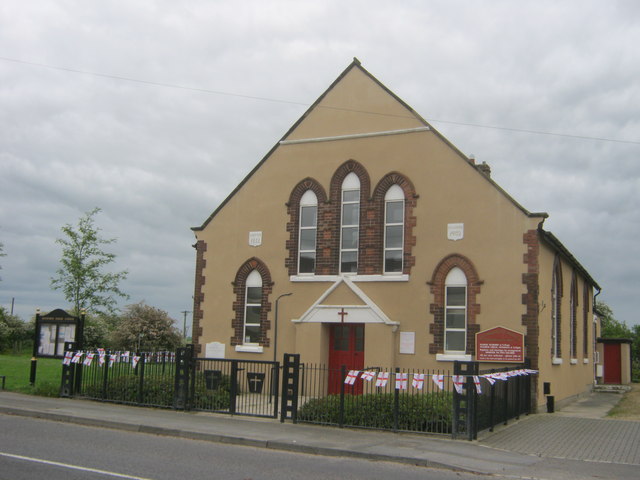
From 1835 to 1965, the Sherburn Hill Colliery operated near the village. In 1851, the Ebenezer Primitive Methodist Church was established in Sherburn Hill. Since the merger with the nearby Bethel Wesleyan Methodist Church in 1968, the church has been called the Sherburn Hill Methodist Church.
Text from Wikipedia, available under the Creative Commons Attribution-ShareAlike License (accessed: 06/09/2017).
Visit the page: Sherburn Hill for references and further details. You can contribute to this article on Wikipedia.
Visit the page: Sherburn Hill for references and further details. You can contribute to this article on Wikipedia.

from IllustratedChronicles (flickr)
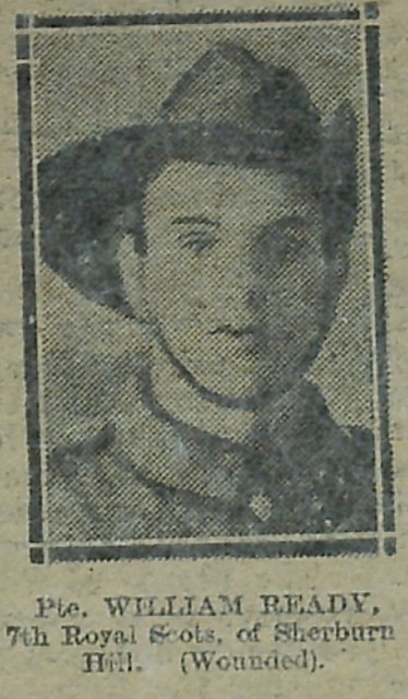
William Ready - 7th Royal Scots - Sherburn Hill (Wounded)
Pinned by Simon Cotterill

from Flickr (flickr)
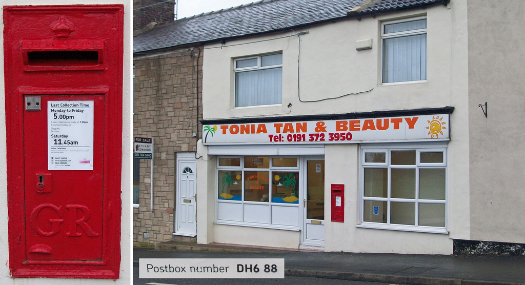
DH6 88 - George V wallbox, Sherburn Hill (former) Post Office
Pinned by Simon Cotterill

Co-Curate Page
Sherburn Village
- Overview About Sherburn Village Map Street View Sherburn Village it is part of the unitary authority of County Durham lying 3.5 miles east of Durham in the north east …

from IllustratedChronicles (flickr)
William Ready - 7th Royal Scots - Sherburn Hill (Wounded)
Pinned by Simon Cotterill
from Flickr (flickr)
DH6 88 - George V wallbox, Sherburn Hill (former) Post Office
Pinned by Simon Cotterill


