Topics > County Durham > Civil Parishes in County Durham > Shadforth Civil Parish
Shadforth Civil Parish
Area: 12.7 km²
Population:
2,208 (2021 Census)
2,118 (2011 Census)
1,941 (2001 Census)
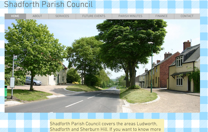
from https://www.shadforthpc.co.uk/
Shadforth Parish Council
- Official Website of the Parish Council, which covers Ludworth, Shadforth and Sherburn Hill.
Added by
Simon Cotterill

from https://keystothepast.info/se…
Local History: Shadforth (County Durham)
- "Shadforth was first recorded in the Boldon Book in 1183 as 'Shaldeford' which translates to shallow ford; a nearby stream is locally known as' The Shald'.
Two probable Bronze Age …
Added by
Simon Cotterill
Co-Curate Page
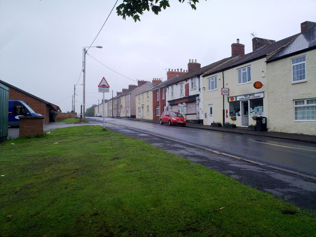
Sherburn Hill
- Overview About Sherburn Hill Map Street View Sherburn Hill is a village in County Durham, located about 4 miles east of the city of Durham. Nearby, Sherburn Village is less …
Co-Curate Page
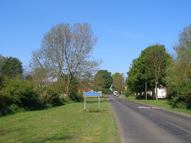
Shadforth
- Overview About Shadforth Map Street View Shadforth is a village in County Durham, England. It is situated a few miles to the east of Durham. The historic centre of …
Co-Curate Page
Ludworth
- Overview About Ludworth Map Street View Ludworth is a pit village in County Durham, England situated between Durham and Peterlee. It consists of just over 350 houses in three …

from https://www.shadforthpc.co.uk/
Shadforth Parish Council
- Official Website of the Parish Council, which covers Ludworth, Shadforth and Sherburn Hill.
Added by
Simon Cotterill
from https://keystothepast.info/se…
Local History: Shadforth (County Durham)
- "Shadforth was first recorded in the Boldon Book in 1183 as 'Shaldeford' which translates to shallow ford; a nearby stream is locally known as' The Shald'.
Two probable Bronze Age …
Added by
Simon Cotterill
Co-Curate Page
Sherburn Hill
- Overview About Sherburn Hill Map Street View Sherburn Hill is a village in County Durham, located about 4 miles east of the city of Durham. Nearby, Sherburn Village is less …
Co-Curate Page
Shadforth
- Overview About Shadforth Map Street View Shadforth is a village in County Durham, England. It is situated a few miles to the east of Durham. The historic centre of …
Co-Curate Page
Ludworth
- Overview About Ludworth Map Street View Ludworth is a pit village in County Durham, England situated between Durham and Peterlee. It consists of just over 350 houses in three …


Keys to the Past HER: D6878


