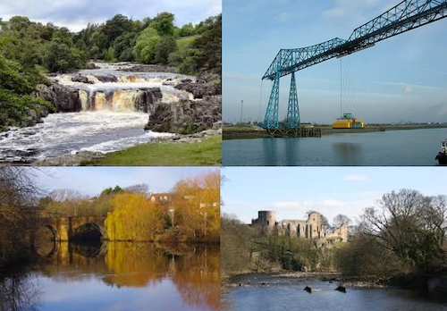
Topics > Geography > Rivers > River Tees > Scur Beck
Scur Beck
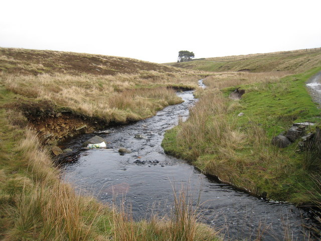
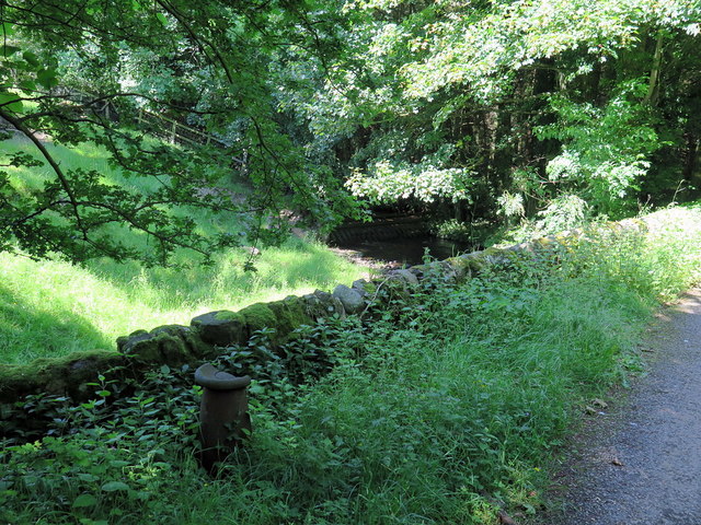
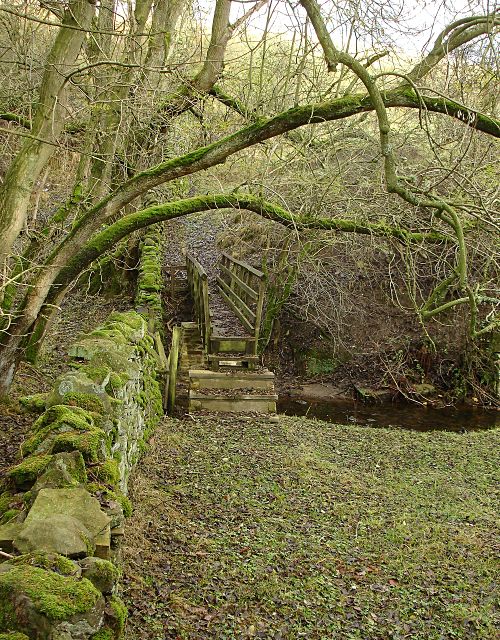
Scur Beck is a small river in County Durham, which is a tributary of the River Tees. It flows eastwards to Lartington, to join the Tees near Startforth and Barnard Castle.
Co-Curate Page
Lartington
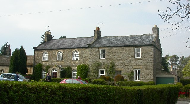
- Overview About Lartington Map Street View Lartington is a village in County Durham, located about 2 miles east of Barnard Castle and just under a mile south of Cotherstone. The …

from https://environment.data.gov.…
SCUR BECK AT B6277 RD BR D/S LARTINGTON - Monitoring Site
Added by
Simon Cotterill


Co-Curate Page
Lartington
- Overview About Lartington Map Street View Lartington is a village in County Durham, located about 2 miles east of Barnard Castle and just under a mile south of Cotherstone. The …
from https://environment.data.gov.…
SCUR BECK AT B6277 RD BR D/S LARTINGTON - Monitoring Site
Added by
Simon Cotterill