Topics > Heritage Sites > Newcastle Town Walls > Sand Gate
Sand Gate
from Flickr (flickr)
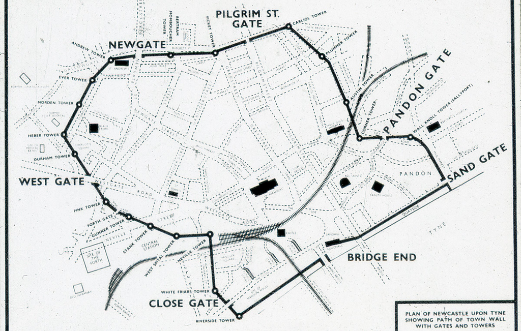
Plan of Newcstle upon Tyne showing path of Town Wall with gates and towers
Pinned by Simon Cotterill
from Newcastle libraries (flickr)
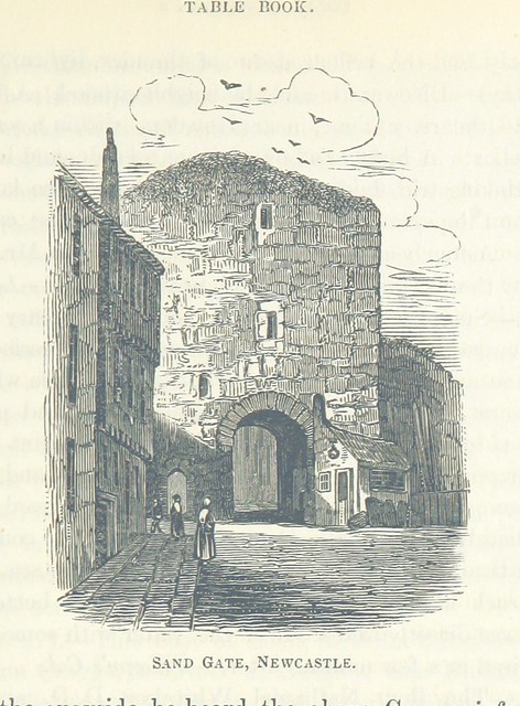
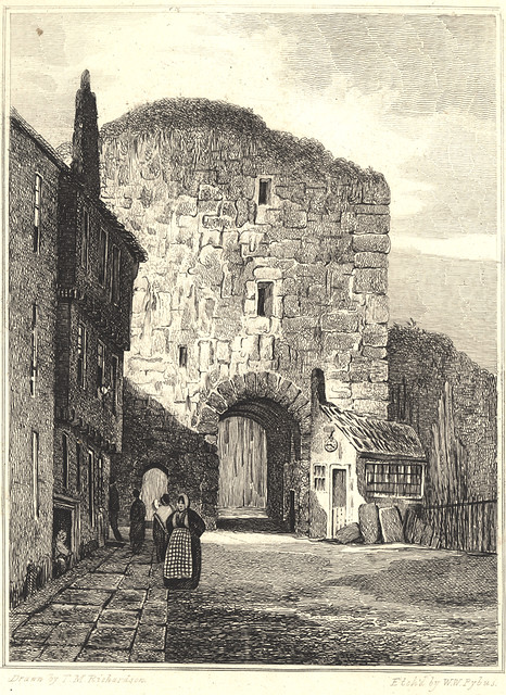
003760:Sandgate Newcastle upon Tyne Richardson T.M. 1825?
Pinned by Simon Cotterill

from http://twsitelines.info/SMR/1…
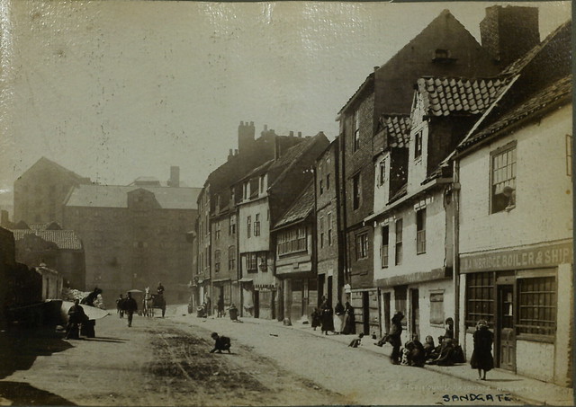
Tyne and Wear HER(1564): Newcastle town wall, Sand Gate
- "Sand Gate controlled access to the town's public quay from the east, and a spur wall (HER REF. 1565) ran from it south to the water. The gate consisted of …
Added by
Simon Cotterill

from Flickr (flickr)
Plan of Newcstle upon Tyne showing path of Town Wall with gates and towers
Pinned by Simon Cotterill
from Newcastle libraries (flickr)
003760:Sandgate Newcastle upon Tyne Richardson T.M. 1825?
Pinned by Simon Cotterill
from http://twsitelines.info/SMR/1…
Tyne and Wear HER(1564): Newcastle town wall, Sand Gate
- "Sand Gate controlled access to the town's public quay from the east, and a spur wall (HER REF. 1565) ran from it south to the water. The gate consisted of …
Added by
Simon Cotterill

")

