Topics > Northumberland > Civil Parishes in Northumberland > Rothley Civil Parish
Rothley Civil Parish
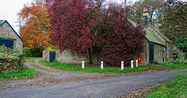
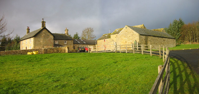
Rothley Civil Parish is located about 9 miles east of Morpeth in Northumberland. The population of the of the parish was 160 at the time of the 2011 Census.
Area: 24.5 km²
Population:
141 (2021 Census)
160 (2011 Census)
136 (2001 Census)
from https://northumberlandparishe…
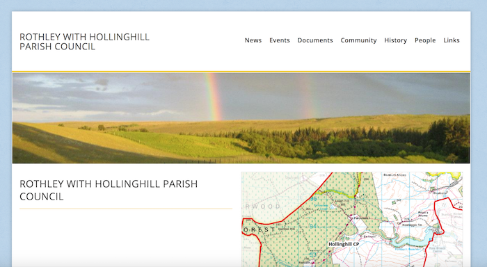
Rothley with Hollinghill Parish Council
Added by
Simon Cotterill
Co-Curate Page
Rothley
- Overview About Rothley Map Street View Rothley is a small settlement and civil parish in Northumberland, England about north east of Cambo and about west of Morpeth. Governance Rothley …

from https://keystothepast.info/se…
Rothley with Hollinghill (Northumberland) - Local History
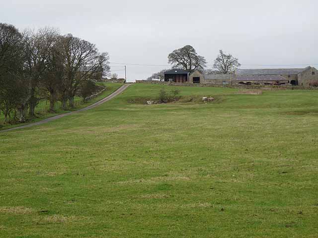
- "Rothley is a small parish in mid-Northumberland. Large parts are rough upland grassland and heather moor together with part of the forestry plantations of Harwood Forest. Much of the upland …
Added by
Simon Cotterill
from Geograph (geograph)
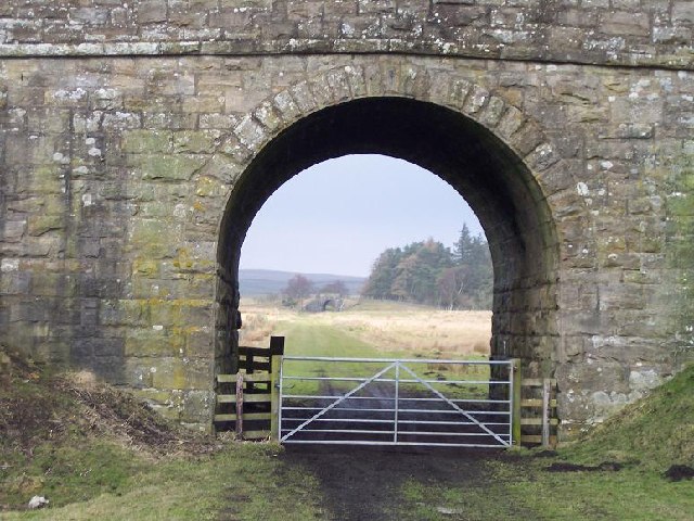
Bridge carrying B6342 Rothbury road over disused railway at Rothley Lakes, Northumberland
Pinned by Simon Cotterill

Co-Curate Page
Harwood
- Overview Map Harwood is a hamlet in Northumberland located to the south of the Simonside Hills and about 12 miles north-west of Morpeth. The settlement is part of the Civil …

from https://northumberlandparishe…
Rothley with Hollinghill Parish Council
Added by
Simon Cotterill
Co-Curate Page
Rothley
- Overview About Rothley Map Street View Rothley is a small settlement and civil parish in Northumberland, England about north east of Cambo and about west of Morpeth. Governance Rothley …
from https://keystothepast.info/se…
Rothley with Hollinghill (Northumberland) - Local History
- "Rothley is a small parish in mid-Northumberland. Large parts are rough upland grassland and heather moor together with part of the forestry plantations of Harwood Forest. Much of the upland …
Added by
Simon Cotterill
from Geograph (geograph)
Bridge carrying B6342 Rothbury road over disused railway at Rothley Lakes, Northumberland
Pinned by Simon Cotterill


")
