Topics > Northumberland > Roseden
Roseden
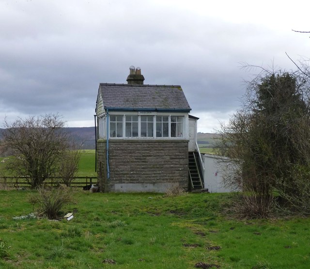
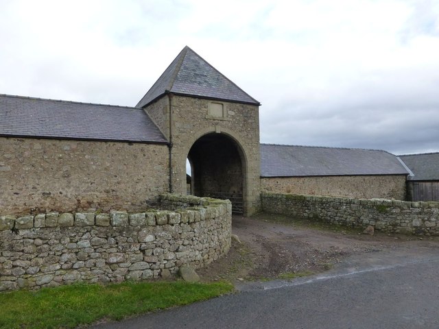
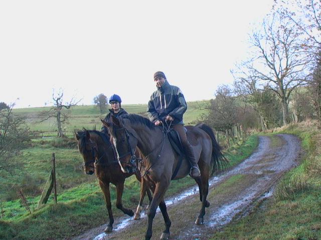
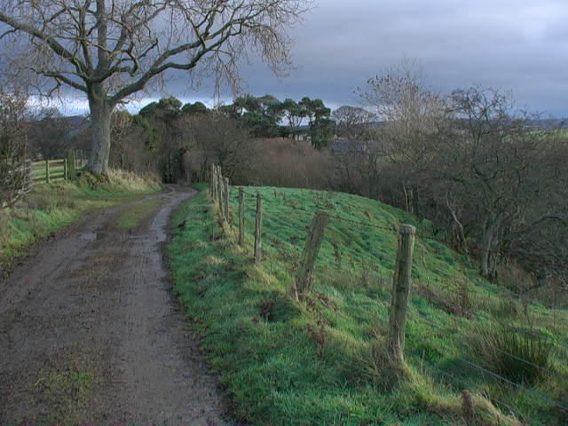
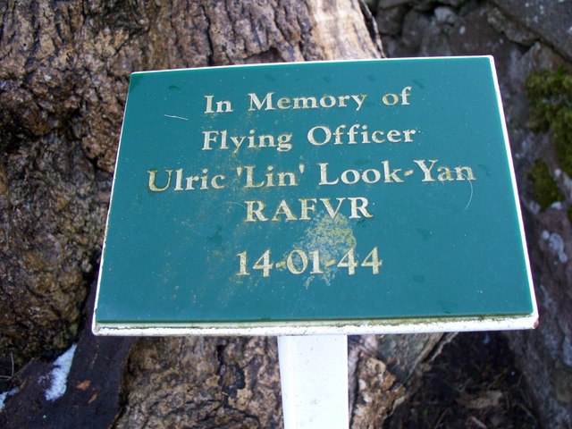
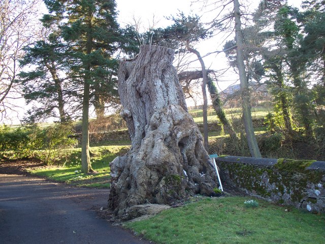
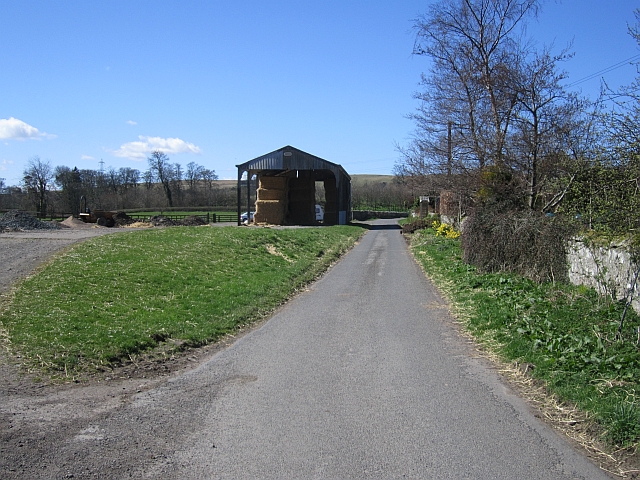
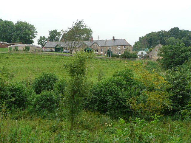
Roseden is a hamlet in Northumberland, located about 5 miles south east of Wooler. It consists of a farm and a few cottages. A tree near the farm carries a plaque commemorating a Hurricane fighter pilot who died when his plane crashed here on the 14th of January 1944.[1] Historically, Roseden had been a township in the ancient parish of Iderton. Roseden became a civil parish, following the Poor Law Amendment Act, 1866. But this was abolished in 1955, since when, Roseden has been part of Roddam Civil Parish.
ROSEDEN, a township, in the parish of Ilderton, union of Glendale, N. division of Coquetdale ward and of Northumberland, 5 miles (S.E. by S.) from Wooler, on the road to Newcastle; containing 83 inhabitants. The township comprises about 1,850 acres, of which 1,000 are moorland, 800 arable, and 50 pasture and wood; it is of a light turnip soil, with a portion of clay, and there is a small freestone-quarry. The river Breamish passes on the east. On Roseden Edge are the remains of a semicircular intrenchment of earth, with an inner wall of loose stones, supposed to be of British origin.
Extract from: A Topographical Dictionary of England comprising the several counties, cities, boroughs, corporate and market towns, parishes, and townships..... 7th Edition, by Samuel Lewis, London, 1848.
from Geograph (geograph)
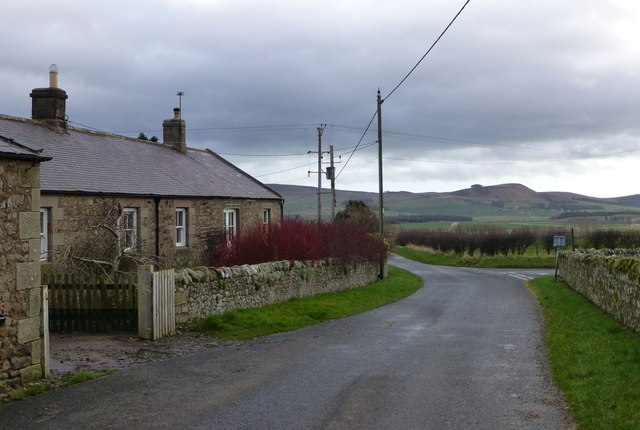
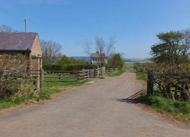
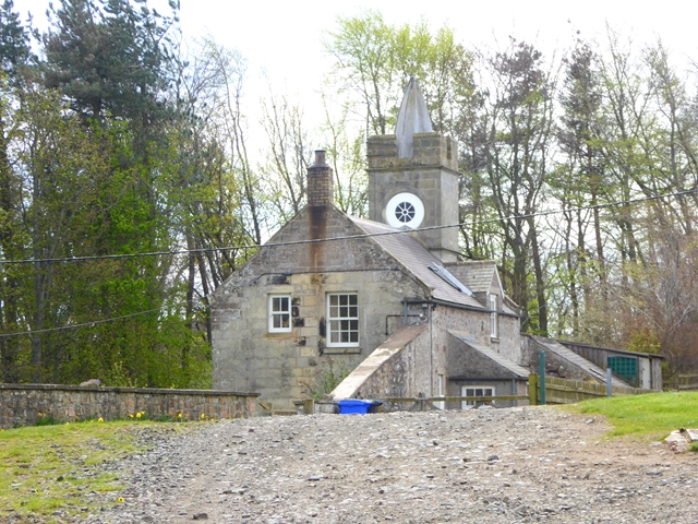
Upper cottages of Roseden from the track to the west
Pinned by Simon Cotterill
Co-Curate Page
Roddam
- Overview Map Street View RODDAM, a township, in the parish of Ilderton, union of Glendale, N. division of Coquetdale ward and of Northumberland, 5½ miles (S.S.E.) from Wooler; containing 110 …
Co-Curate Page
Ilderton
- Overview About Ilderton Map Street View Ilderton is a small village in Northumberland, England. It is located on the edge of the Northumberland National Park, between Lilburn, Northumberland in …
Co-Curate Page
Wooperton
- Overview Map Street View Wooperton is a hamlet in Northumberland, located about 5 miles south of Wooler. Wooperton is located off the A697 road between Roseden and Powburn. There is a farm, Wooperton …

from Geograph (geograph)
Upper cottages of Roseden from the track to the west
Pinned by Simon Cotterill
Co-Curate Page
Roddam
- Overview Map Street View RODDAM, a township, in the parish of Ilderton, union of Glendale, N. division of Coquetdale ward and of Northumberland, 5½ miles (S.S.E.) from Wooler; containing 110 …
Co-Curate Page
Ilderton
- Overview About Ilderton Map Street View Ilderton is a small village in Northumberland, England. It is located on the edge of the Northumberland National Park, between Lilburn, Northumberland in …