Topics > Northumberland > Rochester > Rochester Township
Rochester Township
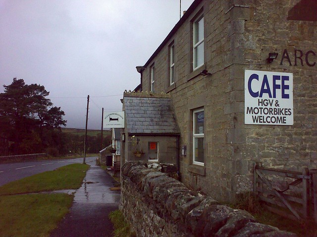
ROCHESTER-WARD, a township, in the parish of Elsdon, union of Bellingham, S. division of Coquetdale ward, N. division of Northumberland, 12 miles (N.) from Bellingham; containing 437 inhabitants. This district is eleven miles in length, and about three in average breadth, and comprises by admeasurement 22,068 acres, of which about 213 are arable, 138 woodland, and the remainder pasture, whereon large flocks of excellent Cheviot sheep are kept. At Horsley, a mile to the east of Rochester, a chapel of ease has been erected, which will accommodate 182 persons; and at Byrness, in the township, near the extremity of the parish, is a small chapel with a separate endowment. There is a place of worship for Presbyterians. A village called High Rochester, situated on the brow of a rugged eminence, occupies the site of Bremenium, the strongest of the Roman stations in the north, and previously the chief fortification of the Ottadini. Portions of the walls on the west and south-west sides still remain; they were seven feet in thickness, chequered with ashlar-work, and defended by triple ramparts of earth. The hypocaust was in the north-eastern part of the walls, and the conduits leading to it were, a few years since, in a tolerably perfect state. Numerous altars, urns, and other relics, have been found; and in the neighbourhood are several rude sepulchral monuments of the ancient Britons, which prove that it must have been the scene of many sanguinary conflicts between the Ottadini and the Romans, before the conquest of the former.
Extract from: A Topographical Dictionary of England comprising the several counties, cities, boroughs, corporate and market towns, parishes, and townships..... 7th Edition, by Samuel Lewis, London, 1848.
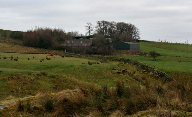
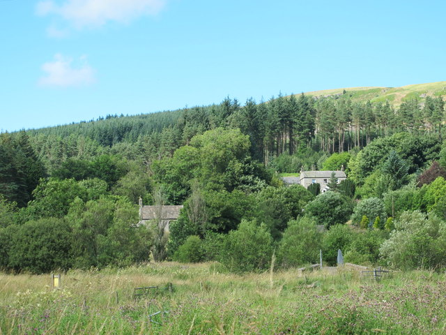
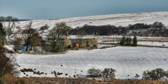
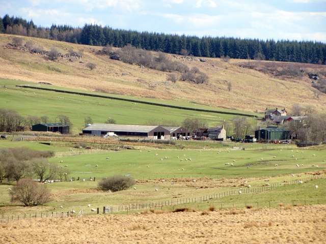
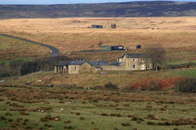
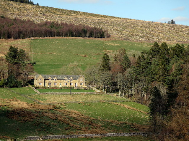
The 1860 Northumberland Farms Index (Northumberland archives), lists the following under the township of Rochester Ward: Back Of The Dour, Bagraw, Bellshield Burnfoot, High Bellshield, Low Bellshield, Bennetsfield, Birdhopecrag Hall, Birkhill, Bush, Byrness, Low Byrness, Catcleugh, Catcleugh Lodge, Cottonshope, Cottonshope Head, Cottonshopeburnfoot, Dudlees, Dykehead, Elishaw, Featherwood, Hillock, Hopesley House, Horsley, Horsley Cottage, Lumsdon, Mooredge House, Mount Hilly, Petty Knowes, Pity Me, Redesdale Cottage, Rochester, High Rochester, Silloans, Sills, Spithope Haugh, Spithope Head, Stewart Shield, Stobbs, Storage, Toft House, and Yatesfield,
Co-Curate Page
Byrness
- Overview About Byrness Map BYRNESS, a chapelry, in the parish of Elsdon, union of Rothbury, S. division of Coquetdale ward, N. division of Northumberland, 13¾ miles (N.N.W.) from Bellingham. This …
Co-Curate Page
Stobbs (Byrness)
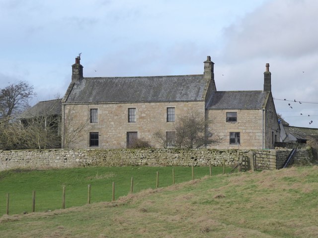
- Overview Map Stobbs is a farm located on the east banks of the River Rede, about ½mile south-east of the village of Rochester, in Northumberland. There is a minor road …
Co-Curate Page
Elishaw, Northumberland
- Overview Map Street View Elishaw is hamlet and farm in Northumberland located near the junction of the A68 and A696 roads. It is located about 2 miles north west of …
Co-Curate Page
Silloans, Northumberland
- Overview Map Silloans Farm is located about 1½ miles north of Rochester in Northumberland and is situated within the MOD Otterburn Training Area. Buildings at Silloans are first recorded in …
Co-Curate Page
Sills, Northumberland
- Overview Map Sills Farm is located about 1½ miles north of Rochester in Northumberland and is situated within the MOD Otterburn Training Area. Whellan's directory of Northumberland for 1855 lists …
Co-Curate Page
Catcleugh, Northumberland
- Overview Map Street View Catcleugh is a hamlet in Northumberland located by the A68, about 40 miles north-west of Newcastle and 1 mile west of the village of Byrness. On …
Co-Curate Page
Bennettsfield
- Overview Map Street View Bennettsfield (aka Bennetsfield, Bennets Field) is a farm in Northumberland, located about 3 miles north-west of Otterburn and 2 miles south-east of the village of Rochester. …

Co-Curate Page
Cottonshope
- Overview Map Street View Cottonshope is a remote farm, located 9 miles north-west of Otterburn and 2 miles north-east of Byrnes. The farm is situated in the valley of Cottonshope …

Co-Curate Page
Cottonshope Head
- Overview Map Street View Cottonshope Head is a remote farm building, located 9½ miles north-west of Otterburn and 3¼ miles north-east of Byrnes. It is situated in the upper valley …

Co-Curate Page
Burdhopecrag
- Overview Map Street View Burdhopecrag is a farm located by the A68, about 1 mile north-west of the village of Rochester. It is situated by the junction of the A68 …

Co-Curate Page
Byrness
- Overview About Byrness Map BYRNESS, a chapelry, in the parish of Elsdon, union of Rothbury, S. division of Coquetdale ward, N. division of Northumberland, 13¾ miles (N.N.W.) from Bellingham. This …
Co-Curate Page
Stobbs (Byrness)
- Overview Map Stobbs is a farm located on the east banks of the River Rede, about ½mile south-east of the village of Rochester, in Northumberland. There is a minor road …
Co-Curate Page
Elishaw, Northumberland
- Overview Map Street View Elishaw is hamlet and farm in Northumberland located near the junction of the A68 and A696 roads. It is located about 2 miles north west of …
Co-Curate Page
Silloans, Northumberland
- Overview Map Silloans Farm is located about 1½ miles north of Rochester in Northumberland and is situated within the MOD Otterburn Training Area. Buildings at Silloans are first recorded in …
Co-Curate Page
Sills, Northumberland
- Overview Map Sills Farm is located about 1½ miles north of Rochester in Northumberland and is situated within the MOD Otterburn Training Area. Whellan's directory of Northumberland for 1855 lists …
Co-Curate Page
Catcleugh, Northumberland
- Overview Map Street View Catcleugh is a hamlet in Northumberland located by the A68, about 40 miles north-west of Newcastle and 1 mile west of the village of Byrness. On …
Co-Curate Page
Bennettsfield
- Overview Map Street View Bennettsfield (aka Bennetsfield, Bennets Field) is a farm in Northumberland, located about 3 miles north-west of Otterburn and 2 miles south-east of the village of Rochester. …
Co-Curate Page
Cottonshope
- Overview Map Street View Cottonshope is a remote farm, located 9 miles north-west of Otterburn and 2 miles north-east of Byrnes. The farm is situated in the valley of Cottonshope …
Co-Curate Page
Cottonshope Head
- Overview Map Street View Cottonshope Head is a remote farm building, located 9½ miles north-west of Otterburn and 3¼ miles north-east of Byrnes. It is situated in the upper valley …