Topics > Cumbria > Rivers in Cumbria > River Kent (Cumbria) > River Winster
River Winster
The River Winster is a river in the English county of Cumbria. The Winster was the boundary between the ancient counties of Lancashire and Westmorland. It has a relatively small catchment area; other streams flow parallel to it on either side.
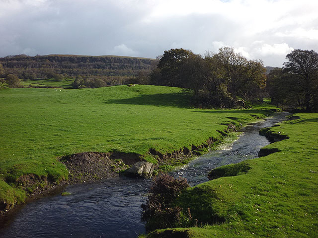
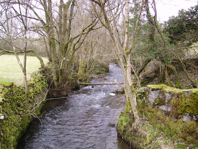
The Winster is about 20 km or 12 miles long, and rises about 2 km south of Bowness-on-Windermere, between the hamlets of Winster and Storrs (the latter is on Windermere) and follows a southerly course, flowing past the settlements of Ludderburn, Hartbarrow and Bowland Bridge, before it is joined by Arndale Beck at Bridge House.
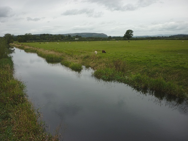
From there, the river continues through a valley between Whitbarrow and Cartmel Fell, flowing through Helton Tarn. It continues between the villages of Lindale and Meathop, and finally flows into the Kent estuary just downstream from Arnside.
A former course of the river joined the Kent at Blawith Point, and as a result the peninsula of Holme Island often changed hands between Lancashire and Westmorland.
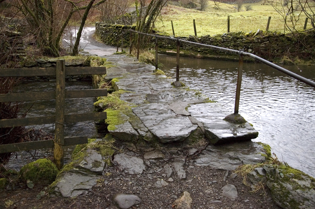
Packhorse Bridges
A packhorse bridge is a bridge intended to carry packhorses (horses loaded with sidebags or panniers) across a river or stream.
There are two packhorse bridges on this river near Winster. The Winster Bridge (1729 with 20th-century parapet) on the river at Another packhorse bridge (Probably 17th-century. Grade II listed) is on a tributary of the River Winster at , adjacent to A5074 road.
Visit the page: River Winster for references and further details. You can contribute to this article on Wikipedia.
Co-Curate Page
Birks Bridge over the River Winster
- Overview Map Street View Birks Bridge is a stone footbridge over the River Winster in the South Lakeland district of Cumbria, located about 1 mile south-west of Winster and 2 …
Co-Curate Page
Castle Head Bridge, Grange-over-Sands
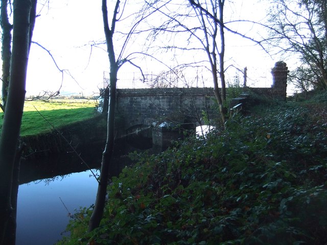
- Overview Map Bridge over the River Winster, with sluice gates. c1800. Limestone ashlar and rubble, with iron railings on north parapet. Has 2 segmental arches , with cutwaters projecting to north …

Co-Curate Page
Birks Bridge over the River Winster
- Overview Map Street View Birks Bridge is a stone footbridge over the River Winster in the South Lakeland district of Cumbria, located about 1 mile south-west of Winster and 2 …