Topics > Geography > Rivers > River Allen > River West Allen
River West Allen
The River West Allen in Northumberland is 17.8 km long, with a catchment area of 64.5 km2.[1] It is a tributary of the River Allen. Settlements by the West Allen include Bearsbridge, Carrshields, Ninebanks and Whitfield.

Co-Curate Page
Whitfield
- Overview About Whitfield Map Street View Whitfield is a village in Northumberland located close to the River West Allen Whitfield is a village in the county of Northumberland, England about …
Co-Curate Page
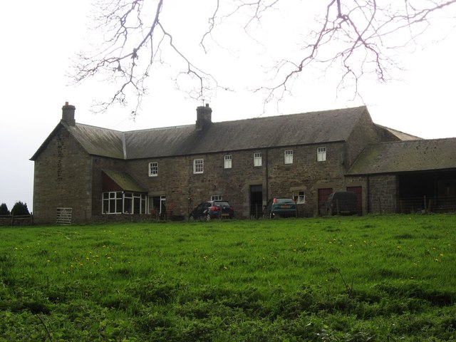
Carrshield
- Overview About Carrshield Map Street View Carrshield is a village situated by the River West Allen in Northumberland. It is part of West Allen Civil Parish. Carrshield is a village …
Co-Curate Page
Ninebanks
- Overview About Ninebanks Map Street View NINEBANKS, a chapelry, in the parish of Allendale, union of Hexham, S. division of Tindale ward and of Northumberland, 10 miles (S. W.) from …

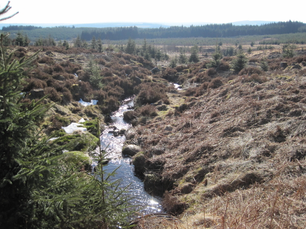
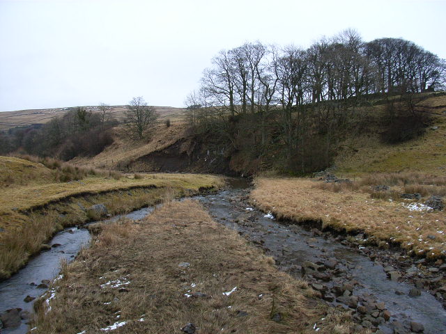
from https://environment.data.gov.…
West Allen from Source to Wellhope Burn
Added by
Simon Cotterill
Co-Curate Page
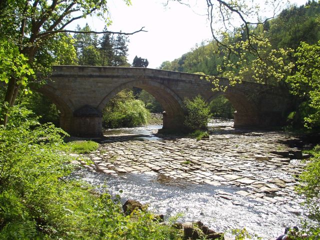
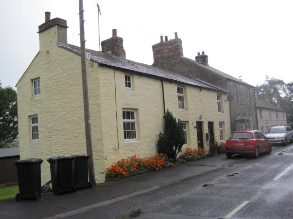
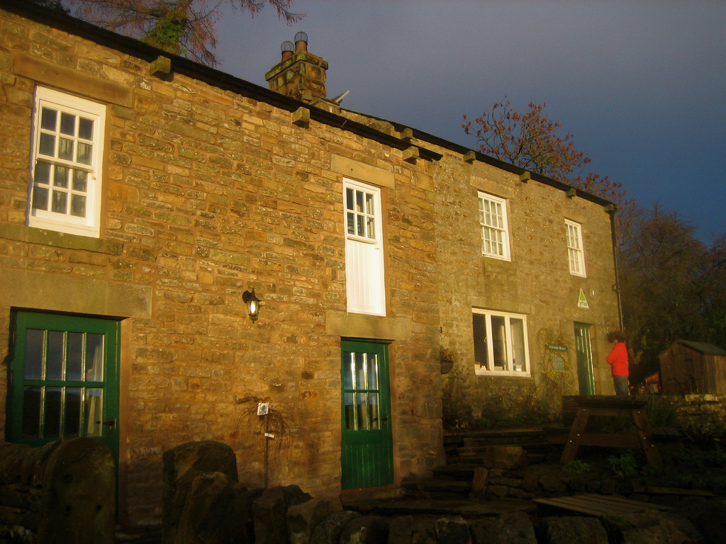
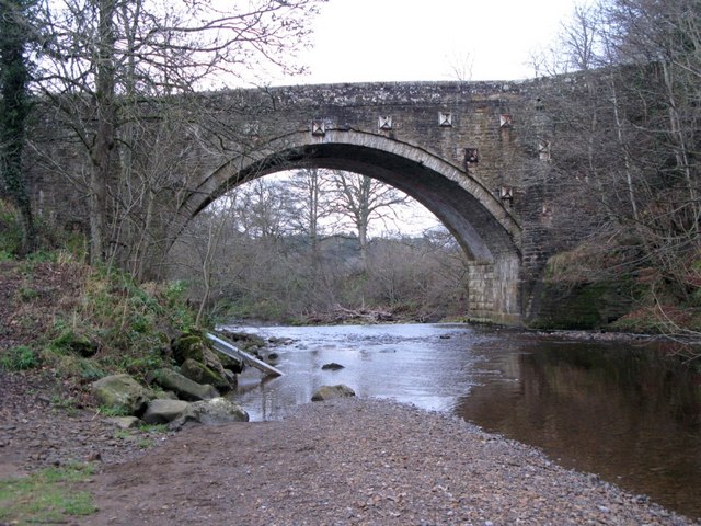
Bearsbridge
- Overview Map Street View Bearsbridge is a village in Northumberland located by the River West Allen, near Cupola Bridge of 1778. It is close to Whitfield.

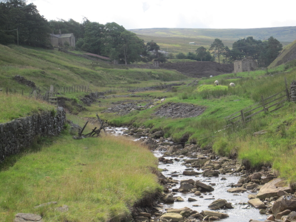
from Geograph (geograph)
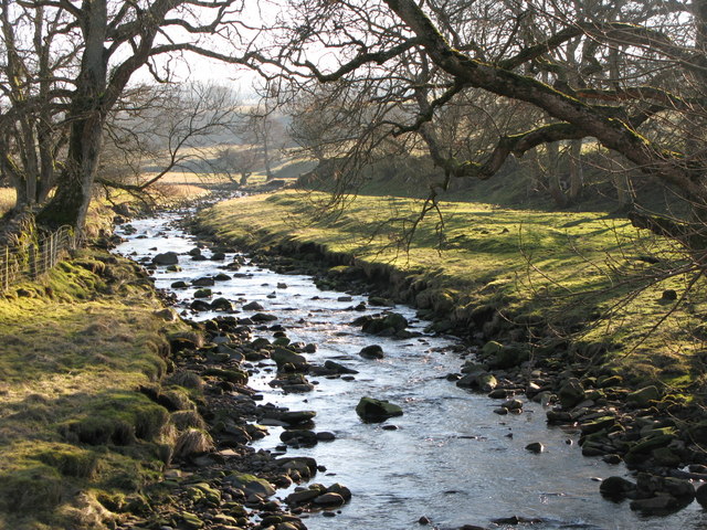
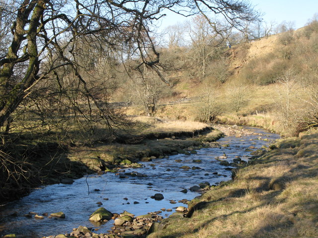
The confluence of the River West Allen and Mohope Burn (2)
Pinned by Simon Cotterill


Co-Curate Page
Whitfield
- Overview About Whitfield Map Street View Whitfield is a village in Northumberland located close to the River West Allen Whitfield is a village in the county of Northumberland, England about …
Co-Curate Page
Carrshield
- Overview About Carrshield Map Street View Carrshield is a village situated by the River West Allen in Northumberland. It is part of West Allen Civil Parish. Carrshield is a village …
Co-Curate Page
Ninebanks
- Overview About Ninebanks Map Street View NINEBANKS, a chapelry, in the parish of Allendale, union of Hexham, S. division of Tindale ward and of Northumberland, 10 miles (S. W.) from …
from https://environment.data.gov.…
West Allen from Source to Wellhope Burn
Added by
Simon Cotterill
Co-Curate Page
Bearsbridge
- Overview Map Street View Bearsbridge is a village in Northumberland located by the River West Allen, near Cupola Bridge of 1778. It is close to Whitfield.
from Geograph (geograph)
The confluence of the River West Allen and Mohope Burn (2)
Pinned by Simon Cotterill