Topics > Cumbria > Rivers in Cumbria > River Lune (Cumbria) > River Rawthey
River Rawthey
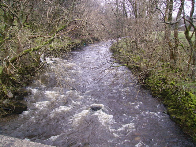
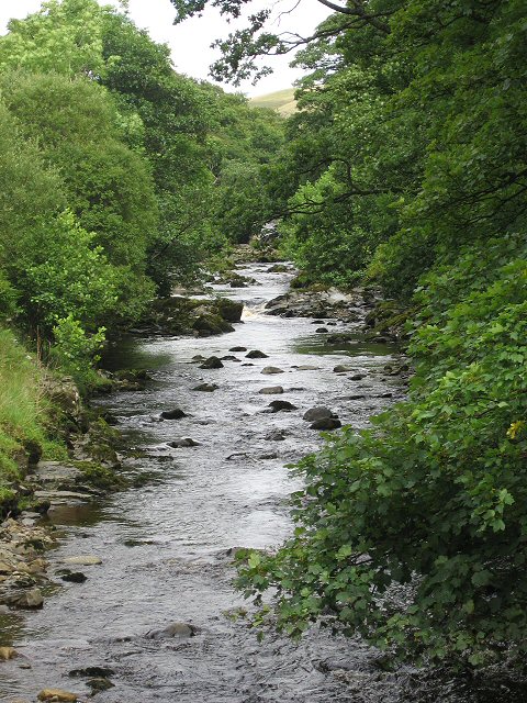
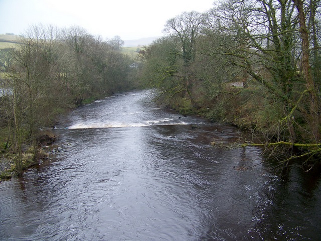
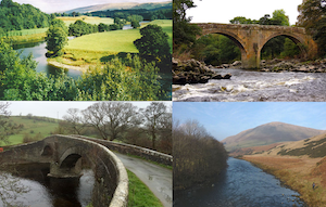
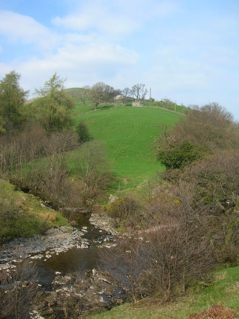
The Rawthey is a river in Cumbria which is a tributary of the River Lune.
The River Rawthey is a river in Cumbria.
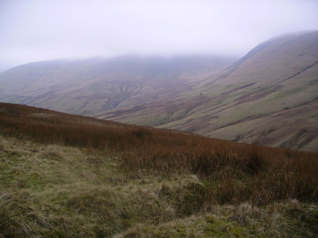
The headwaters of the Rawthey are at Rawthey Gill Foot, where Rawthey Gill meets Haskhaw Gill. The source of Rawthey Gill is unclear, but is either on Knoutberry Haw or near to the East Tarns of Baugh Fell.
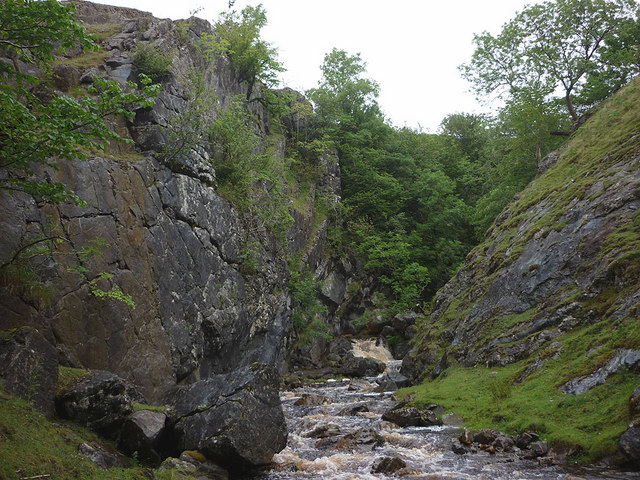
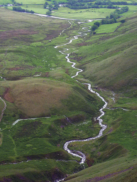
Moving initially northwards, the Rawthey picks up Whin Stone Gill in Uldale before skirting round Bluecaster, after which the river runs south-southwest through Cautley.
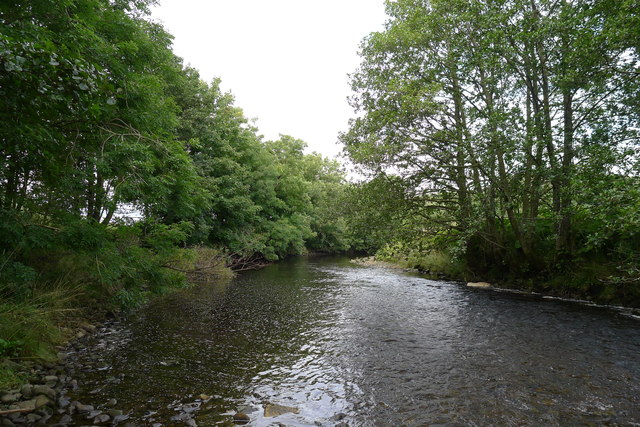
The Rawthey is joined by the Clough River, coming from Garsdale, near Dowbiggin, and, having run past Castleshaw Tower, the River Dee close to Sedbergh.
The Rawthey joins the Lune at Stangerthwaite soon afterwards.
Most of the country through which the Rawthey runs is part of the historic West Riding of Yorkshire.
Visit the page: River Rawthey for references and further details. You can contribute to this article on Wikipedia.

Co-Curate Page
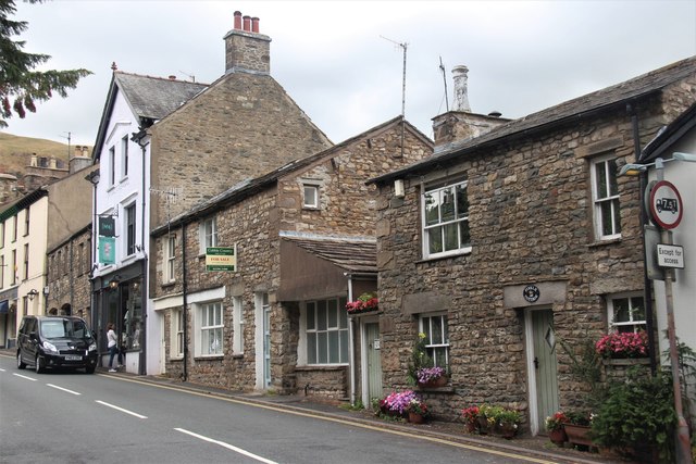
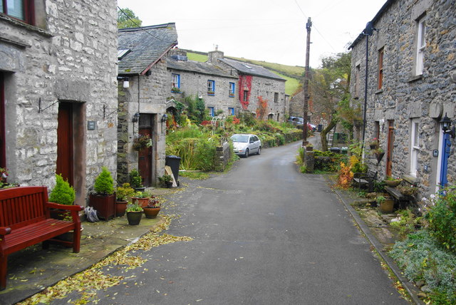
Sedbergh
- Overview About Sedbergh Map Street View Sedbergh is a small town and civil parish in Cumbria, England. Historically part of the West Riding of Yorkshire, it lies about 10 …
Co-Curate Page
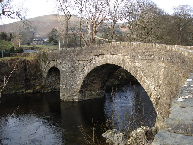
Middleton Bridge over the Rawthey
- Overview Map Street View Middleton Bridge carries the A683 road over the River Rawthey, close to it's confluence with the River Lune to the north of Middleton, Cumbria. The bridge was …
Co-Curate Page
River Lune (Cumbria)
- Overview About the River Lune The River Lune is a major river which flows through Cumbria and Lancashire. The river is about 53 miles long; arising in springs at Newbiggin-on-Lune …

Co-Curate Page
Cautley
- Overview Map Cautley is an area and distributed community, located in the valley of the River Rawther, to the north-east of Sedbergh. It is in the ceremonial county of Cumbria …
Co-Curate Page
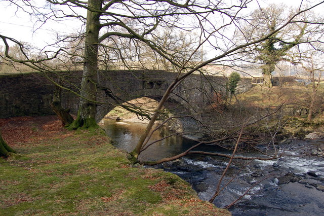
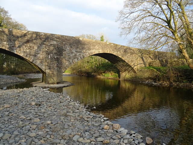
Millthrop Bridge
- Overview History Map Street View Millthrop Bridge is a stone road bridge over the River Rawthey, to the north of Millthrop and south of Sedbergh. The bridge dates from the …
Co-Curate Page
New Bridge, Sedbergh
- Overview Map Street View New Bridge (aka Soolbank Bridge) is a bridge at the east of Sedbergh town, which carries Hawes Road (A684) over the River Rawthey. The bridge, with …
Co-Curate Page
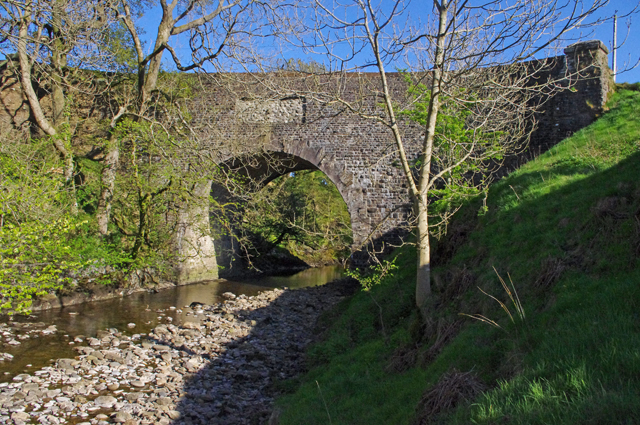
Rawthey Bridge (road)
- Overview Map Street View Rawthey Bridge is a bridge which carries Caitley Road (A683) over the River Rawthey in Cautley, north of the town of Sedburgh. The bridge was rebuilt …
Co-Curate Page
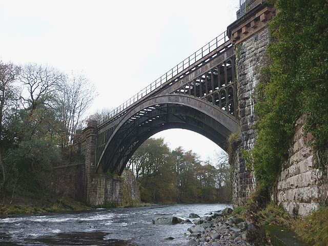
Rawthey Bridge (rail), Brigflatts
- Overview Map Rawthey Bridge carried the railway over River Rawthey, near Brigflatts, about 4 miles northof Sedbergh, in Cumbria. It was built 1857-1861, for the Lancaster and Carlisle Railway Company. …

Co-Curate Page
Sedbergh
- Overview About Sedbergh Map Street View Sedbergh is a small town and civil parish in Cumbria, England. Historically part of the West Riding of Yorkshire, it lies about 10 …
Co-Curate Page
Middleton Bridge over the Rawthey
- Overview Map Street View Middleton Bridge carries the A683 road over the River Rawthey, close to it's confluence with the River Lune to the north of Middleton, Cumbria. The bridge was …
Co-Curate Page
River Lune (Cumbria)
- Overview About the River Lune The River Lune is a major river which flows through Cumbria and Lancashire. The river is about 53 miles long; arising in springs at Newbiggin-on-Lune …
Co-Curate Page
Cautley
- Overview Map Cautley is an area and distributed community, located in the valley of the River Rawther, to the north-east of Sedbergh. It is in the ceremonial county of Cumbria …
Co-Curate Page
Millthrop Bridge
- Overview History Map Street View Millthrop Bridge is a stone road bridge over the River Rawthey, to the north of Millthrop and south of Sedbergh. The bridge dates from the …
Co-Curate Page
New Bridge, Sedbergh
- Overview Map Street View New Bridge (aka Soolbank Bridge) is a bridge at the east of Sedbergh town, which carries Hawes Road (A684) over the River Rawthey. The bridge, with …
Co-Curate Page
Rawthey Bridge (road)
- Overview Map Street View Rawthey Bridge is a bridge which carries Caitley Road (A683) over the River Rawthey in Cautley, north of the town of Sedburgh. The bridge was rebuilt …