Topics > Cumbria > Rivers in Cumbria > River Lune (Cumbria) > River Rawthey > River Dee, Cumbria
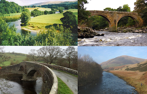
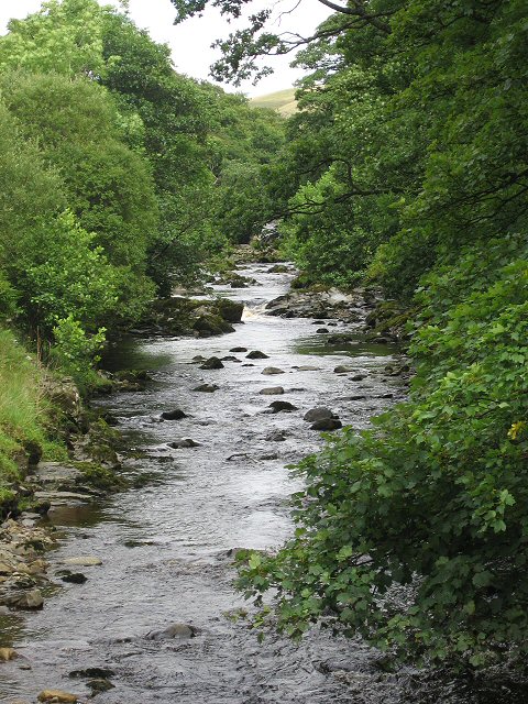
River Dee, Cumbria
The Dee is a river in Cumbria, which is a tributary of the River Rawthey.
Co-Curate Page
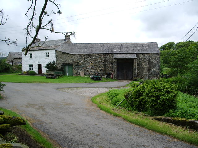
Dillicar, Cumbria
- Overview Map Street View Dillcar Farm is located near the River Dee in Dentdale, Cumbria, about 1½ miles north-west of the village of Dent. Presumably, this was part of, or …

Co-Curate Page
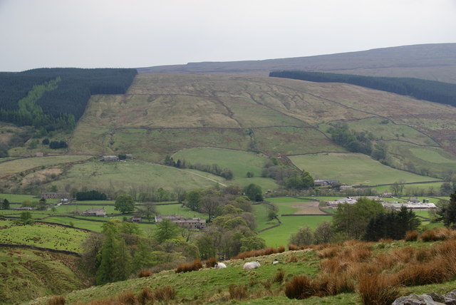
Cowgill
- Overview Map Street View Cowgill is a distributed village in the South Lakeland area of Cumbria, located about 3½ miles east of the village of Dent and 7 miles south-east …
Co-Curate Page
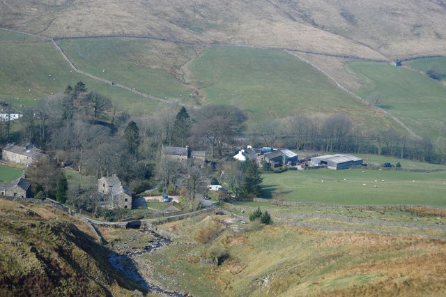
Stone House, Upper Dentdale
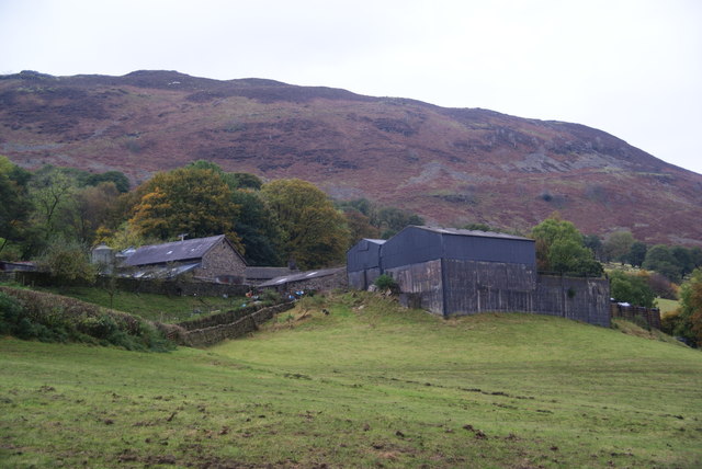
- Overview Map Street View Stone House (aka Stonehouse) is a settlement in the South Lakelands district of Cumbria, situated by the River Dee in Upper Dentdale. It is about 4 …
Co-Curate Page
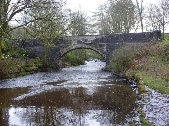
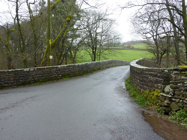
Stonehouse Bridge, Dentdale
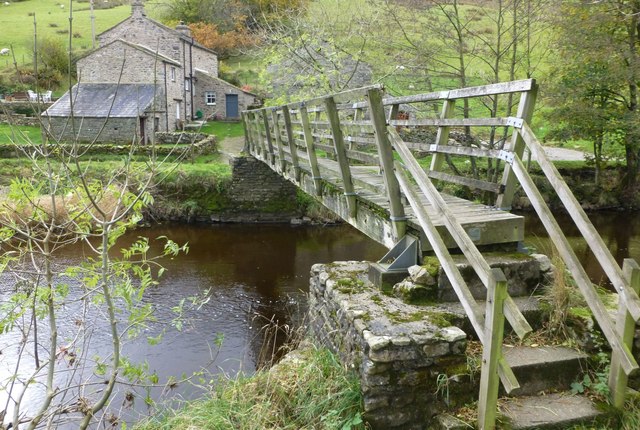
- Overview Map Street View Stonehouse Bridge is a road bridge over the River Dee at Stone House in Dentdale, Cumbria. The stone segmental arched bridge is thought to date from …
Co-Curate Page
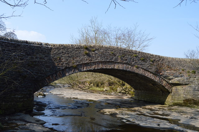
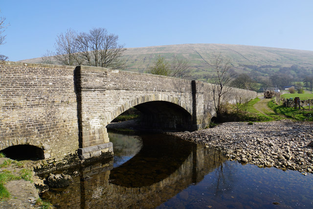
Rash Bridge
- Overview Map Street View Rash Bridge carries the road over the River Dee on Mill Lane, near Rash in Cumbria. The coursed rubble bridge was probably built in the 18th …
Co-Curate Page
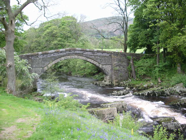
Church Bridge, Dent
- Overview Map Street View Church Bridge carries Beach Hill (road) over the River Dee in Dent, Cumbria. It is located a short distance north east of St Andrew's Church and …
Co-Curate Page
Abbot Holme Bridge
- Overview Map Street View Abbot Holme Bridge carries the road over the River Dee at Abbot Holme, to the south of Sedbergh. The stone bridge dates from the 17th century …
Co-Curate Page
Abbot Holme, Cumbria
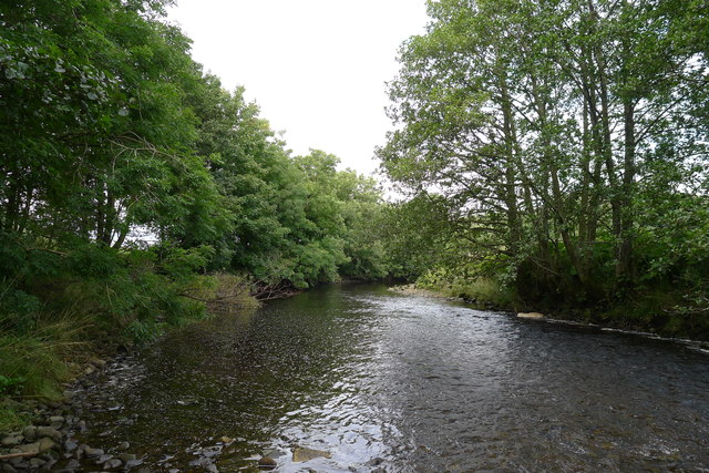
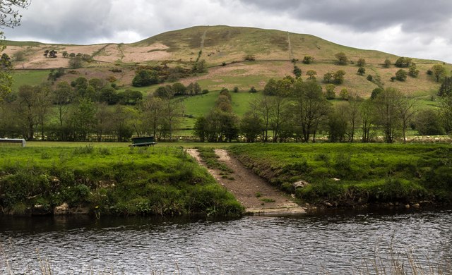
- Overview Map Street View Abbot Holme is a hamlet in Cumbria, situated by the River Dee, close to it's confluence with the River Rawthey. It is located just under 1 …

Co-Curate Page
Dillicar, Cumbria
- Overview Map Street View Dillcar Farm is located near the River Dee in Dentdale, Cumbria, about 1½ miles north-west of the village of Dent. Presumably, this was part of, or …
Co-Curate Page
Cowgill
- Overview Map Street View Cowgill is a distributed village in the South Lakeland area of Cumbria, located about 3½ miles east of the village of Dent and 7 miles south-east …
Co-Curate Page
Stone House, Upper Dentdale
- Overview Map Street View Stone House (aka Stonehouse) is a settlement in the South Lakelands district of Cumbria, situated by the River Dee in Upper Dentdale. It is about 4 …
Co-Curate Page
Stonehouse Bridge, Dentdale
- Overview Map Street View Stonehouse Bridge is a road bridge over the River Dee at Stone House in Dentdale, Cumbria. The stone segmental arched bridge is thought to date from …
Co-Curate Page
Rash Bridge
- Overview Map Street View Rash Bridge carries the road over the River Dee on Mill Lane, near Rash in Cumbria. The coursed rubble bridge was probably built in the 18th …
Co-Curate Page
Church Bridge, Dent
- Overview Map Street View Church Bridge carries Beach Hill (road) over the River Dee in Dent, Cumbria. It is located a short distance north east of St Andrew's Church and …
Co-Curate Page
Abbot Holme Bridge
- Overview Map Street View Abbot Holme Bridge carries the road over the River Dee at Abbot Holme, to the south of Sedbergh. The stone bridge dates from the 17th century …
Co-Curate Page
Abbot Holme, Cumbria
- Overview Map Street View Abbot Holme is a hamlet in Cumbria, situated by the River Dee, close to it's confluence with the River Rawthey. It is located just under 1 …


Wikipedia: River Dee, Cumbria


