Topics > Cumbria > Rivers in Cumbria > River Lyvennet
River Lyvennet
The River Lyvennet is a tributary of the River Eden in Cumbria. The Lyvennet arises at Black Dub on Crosby Ravenswoth Fell - there is a Monument to Charles II at the source, where Charles drank water from, in 1651.
The River Lyvennet is a river flowing through the county of Cumbria in England.
The source of the Lyvennet (as Lyvennet Beck) is to be found close to Robin Hood's Grave on Crosby Ravensworth Moor, an area rich in ancient remains.
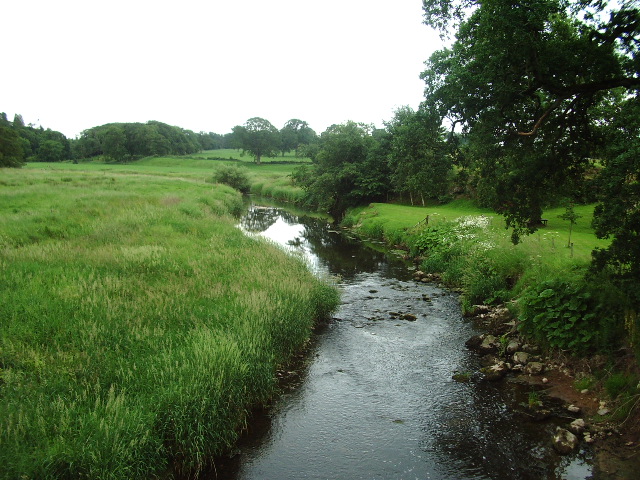
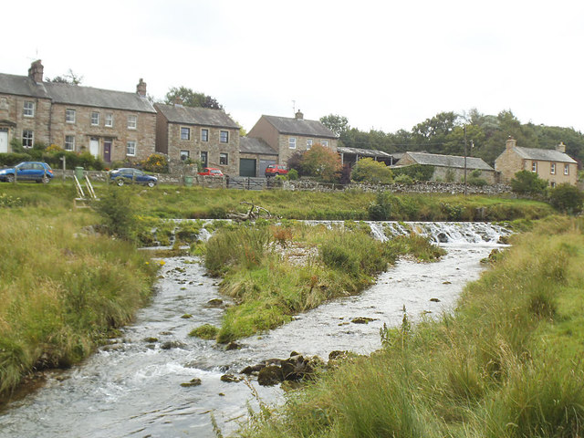
From there, the beck flows northwards through Crosby Ravensworth, Mauld's Meaburn and King's Meaburn, emerging as the River Lyvennet.
The river is joined by the River Leith shortly before the Lyvennet's own confluence with the River Eden.
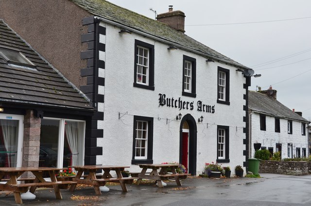
Several Pedigree cattle herds are named after the river including Lyvennet Simmentals of Greystone House, King's Meaburn.
The Lyvennet valley may preserve the name of Taliesin's "Llwyfenydd" and would thus be associated with the post-Roman Brythonic kingdom of Rheged. The meaning of the Welsh word "llwyfen" is the elm tree.
Visit the page: River Lyvennet for references and further details. You can contribute to this article on Wikipedia.
from Geograph (geograph)
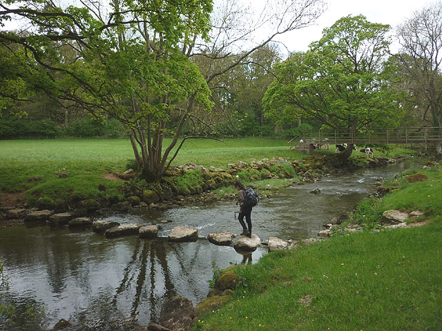
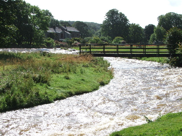
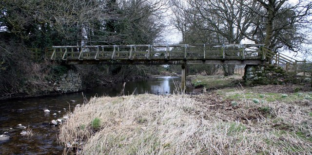
Stepping stones and footbridge over the River Lyvennet
Pinned by Simon Cotterill
from Geograph (geograph)
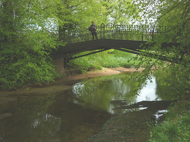
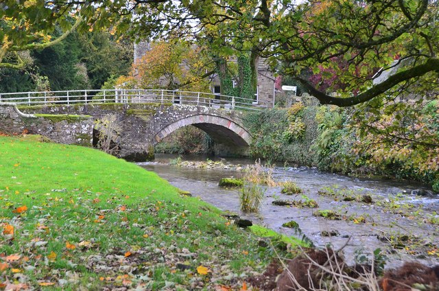
Iron bridge over the Lyvennet near Crossrigg Hall
Pinned by Simon Cotterill
from Geograph (geograph)
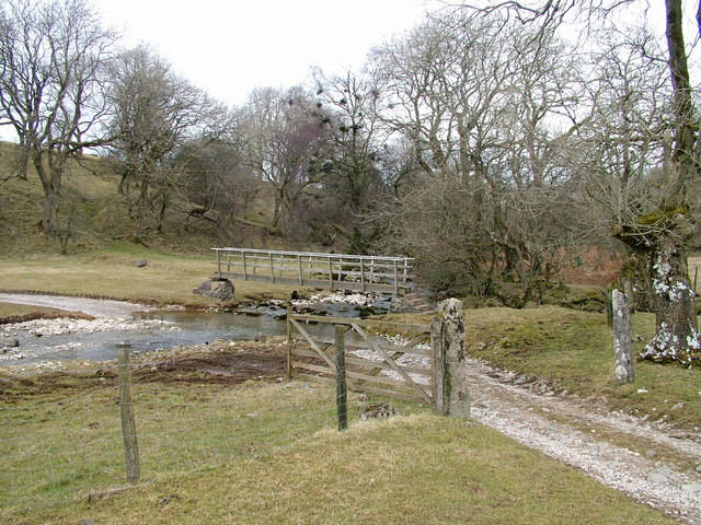
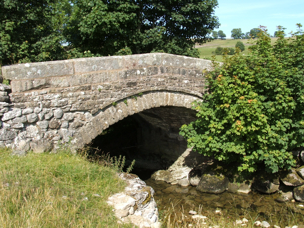
Bridge over the Lyvennet Beck, Crosby Ravensworth
Pinned by Simon Cotterill
Co-Curate Page
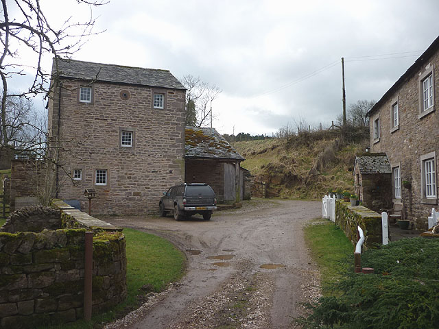
King's Meaburn Mill
- Overview Map Former corn mill by the River Lyvennet a short distance south-west of the village of King's Meaburn. The water powered mill was built in 1811. It has now been converted …
Co-Curate Page
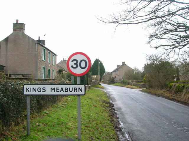
King's Meaburn
- Overview About King's Meaburn Map Street View King's Meaburn is a village in the Eden district of Cumbria, situated by the River Lyvennet. The village is located about 4 miles …
Co-Curate Page
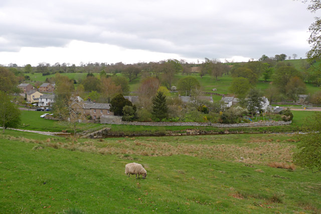
Maulds Meaburn
- Overview About Maulds Meaburn Map Street View MEABURN MAULDS, a township, in the parish of Crosby-Ravensworth, West ward and union, county of Westmorland, 4½ miles (E.N.E.) from Shap; containing 310 …
Co-Curate Page
River Leith (Cumbria)
- Overview About the River Leith The River Leith is a tributary of the River Lyvennet in Cumbria. It is about 26km long and has a catchment area of 60 km2.[1] The …
Co-Curate Page
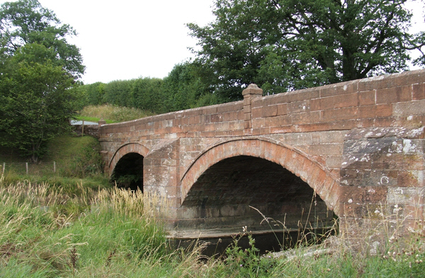
Cliburn Mill bridge
- Overview Map Street View Cliburn Mill bridge is a road bridge over the River Lyvennet, which was built in 1827. The bridge is located about ¾ mile east of the …

from Geograph (geograph)
Stepping stones and footbridge over the River Lyvennet
Pinned by Simon Cotterill
from Geograph (geograph)
Iron bridge over the Lyvennet near Crossrigg Hall
Pinned by Simon Cotterill
from Geograph (geograph)
Bridge over the Lyvennet Beck, Crosby Ravensworth
Pinned by Simon Cotterill
Co-Curate Page
King's Meaburn Mill
- Overview Map Former corn mill by the River Lyvennet a short distance south-west of the village of King's Meaburn. The water powered mill was built in 1811. It has now been converted …
Co-Curate Page
King's Meaburn
- Overview About King's Meaburn Map Street View King's Meaburn is a village in the Eden district of Cumbria, situated by the River Lyvennet. The village is located about 4 miles …
Co-Curate Page
Maulds Meaburn
- Overview About Maulds Meaburn Map Street View MEABURN MAULDS, a township, in the parish of Crosby-Ravensworth, West ward and union, county of Westmorland, 4½ miles (E.N.E.) from Shap; containing 310 …
Co-Curate Page
River Leith (Cumbria)
- Overview About the River Leith The River Leith is a tributary of the River Lyvennet in Cumbria. It is about 26km long and has a catchment area of 60 km2.[1] The …