Topics > Cumbria > Rivers in Cumbria > River Cocker
River Cocker
The River Cocker is a tributary of the River Derwent in Cumbria. The river is roughly 12 miles long, flowing roughly north-westerly, from Its source is at the head of the Buttermere valley. The Cocker flows through Buttermere and then Crummock Water, on past Low Lorton, to it's confluence with the River Derwent in Cockermouth.
The River Cocker is a river in the Lake District in North West England, in the county of Cumbria. Its source is at the head of the Buttermere valley. It flows north through Buttermere and then Crummock Water, through Lorton Vale, to the town of Cockermouth, where it joins the River Derwent. It is roughly long. The river takes its name from the Brythonic Celtic word kukrā, meaning 'the crooked one.'
The river supports a range of wildlife; the predominant fish species include salmon, sea trout, brown trout, eels, minnows, sticklebacks and the Stone Loach.
The small river came to national prominence in the 2009 Great Britain and Ireland floods. The county of Cumbria was the hardest hit area during the floods, when the River Cocker and River Derwent both burst their banks, covering the town of Cockermouth in as much as of water, causing extensive damage to houses, shops, workplaces as well as the home of Cockermouth Cricket Club.
An important and pioneering project to reduce the flooding hazards associated with the river Cocker began in 2014. It involved the restoration of the Whit Beck, a tributary of the river Cocker near Lorton. The project was called The Whit Beck Restoration Project 2014.
Visit the page: River Cocker, Cumbria for references and further details. You can contribute to this article on Wikipedia.
from Geograph (geograph)
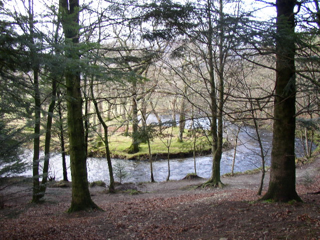
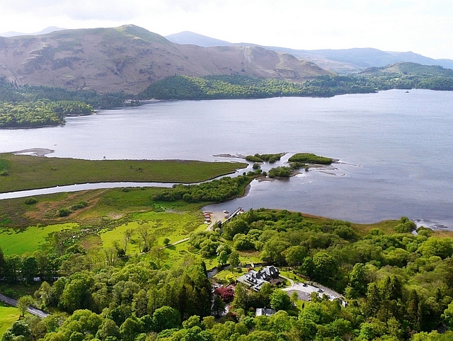
Confluence of Crummock Water and the River Cocker
Pinned by Simon Cotterill
Co-Curate Page
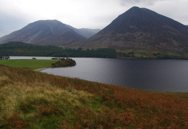
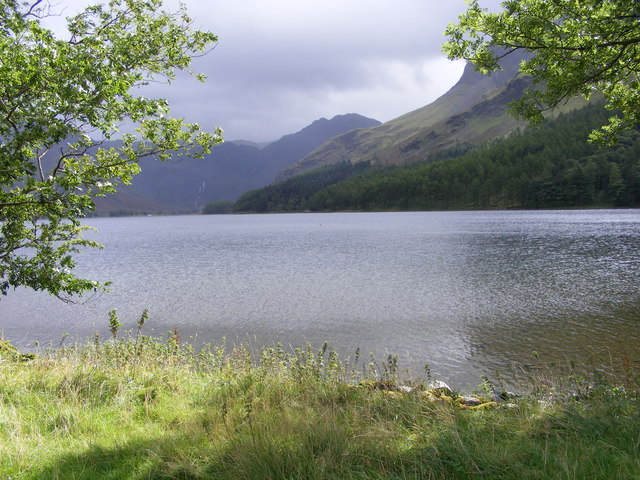
Crummock Water
- Overview About Crummock Water Map Street View Crummock Water is a lake in the Lake District in Cumbria, North West England situated between Buttermere to the south and Loweswater …
from Geograph (geograph)
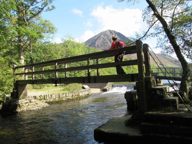
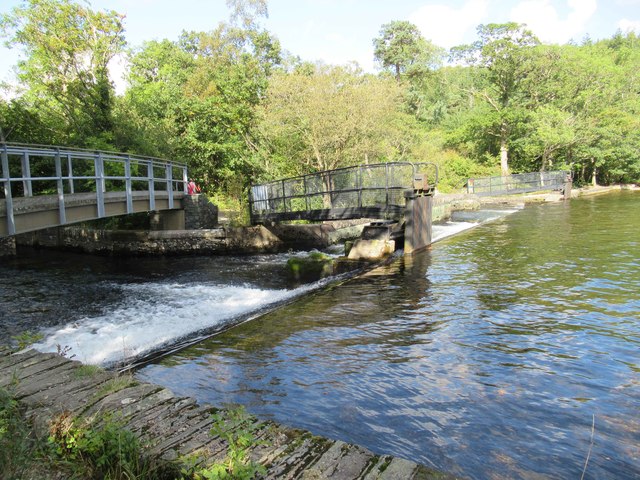
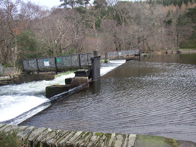
Weir at the end of Crummock Water, Brackenthwaite
Pinned by Simon Cotterill
Co-Curate Page
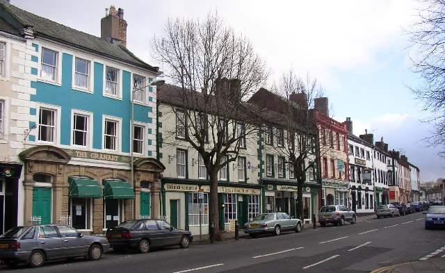
Cockermouth
- Overview About Cockermouth Map Street View Cockermouth is a market town in the Cumberland unitary authority area, in the ceremonial county of Cumbria, located about 23 miles south-west of Carlisle …
Co-Curate Page
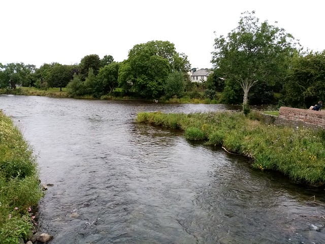
River Derwent (Cumbria)
- Overview About the River Derwent The River Derwent is a major river in Cumbria. It is formed by the confluence of Styhead Gill and Grains Gill at the southern end …
Co-Curate Page
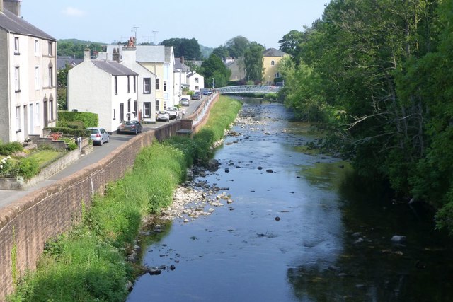
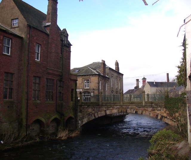
Cocker Bridge, Cockermouth
- Overview Map Street View Cocker Bridge in Cockermouth carries Main Street over the River Cocker. The single segmental arch bridge was rebuilt in 1828. It is Grade II listed on …

from https://environment.data.gov.…
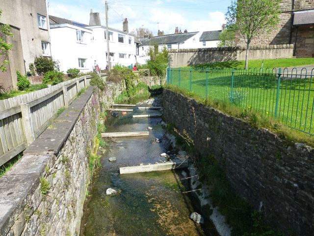
Cocker - conf Whit Beck to conf Derwent
Added by
Simon Cotterill
from https://environment.data.gov.…
Cocker - Crummock Water to conf Whit Beck
Added by
Simon Cotterill
Co-Curate Page
Buttermere (lake)
- Overview About Buttermere Map Street View Buttermere is a lake in the English Lake District in North West England. The adjacent village of Buttermere takes its name from the …

from Geograph (geograph)
Confluence of Crummock Water and the River Cocker
Pinned by Simon Cotterill
Co-Curate Page
Crummock Water
- Overview About Crummock Water Map Street View Crummock Water is a lake in the Lake District in Cumbria, North West England situated between Buttermere to the south and Loweswater …
from Geograph (geograph)
Weir at the end of Crummock Water, Brackenthwaite
Pinned by Simon Cotterill
Co-Curate Page
Cockermouth
- Overview About Cockermouth Map Street View Cockermouth is a market town in the Cumberland unitary authority area, in the ceremonial county of Cumbria, located about 23 miles south-west of Carlisle …
Co-Curate Page
River Derwent (Cumbria)
- Overview About the River Derwent The River Derwent is a major river in Cumbria. It is formed by the confluence of Styhead Gill and Grains Gill at the southern end …
Co-Curate Page
Cocker Bridge, Cockermouth
- Overview Map Street View Cocker Bridge in Cockermouth carries Main Street over the River Cocker. The single segmental arch bridge was rebuilt in 1828. It is Grade II listed on …
from https://environment.data.gov.…
Cocker - conf Whit Beck to conf Derwent
Added by
Simon Cotterill
from https://environment.data.gov.…
Cocker - Crummock Water to conf Whit Beck
Added by
Simon Cotterill
Co-Curate Page
Buttermere (lake)
- Overview About Buttermere Map Street View Buttermere is a lake in the English Lake District in North West England. The adjacent village of Buttermere takes its name from the …