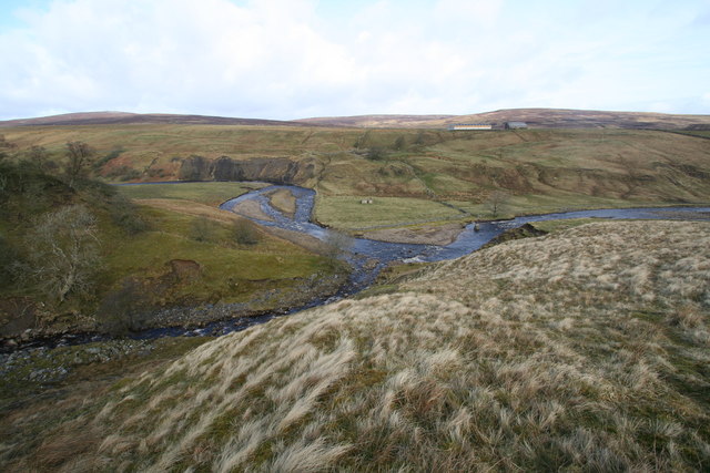
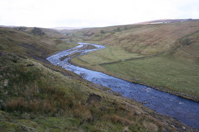
Confluence of Grow Sike and River Lune


-
Description
"Low Bout and Grow Sike flow in deeply incised valleys, merging to flow into the River Lune on a left hand bend below Scarhead Farm. The 1:25000 map shows a footbridge just downstream of this confluence, but only a single supporting pillar in midstream remains of this. The steep right bank of Grow Sike from which this photo was taken, is called Littlegill Edge." Photo and description by Andy Waddington, 2009, and licensed for reuse under a Creative Commons Licence. -
Owner
Geograph.org.uk -
Source
Geograph (Geograph) -
License
What does this mean? Attribution-ShareAlike 2.0 Generic (CC BY-SA 2.0)
-
Further information
Link: http://www.geograph.org.uk/photo/1200122
Resource type: Text/Website
Added by: Pat Thomson
Last modified: 10 years, 8 months ago
Viewed: 1134 times
Picture Taken: Unknown -
Co-Curate tags


