Topics > Civil Parishes in Cumbria > Ravenstonedale Civil Parish
Ravenstonedale Civil Parish
Area: 66.4 km²
Population:
569 (2021 Census)
594 (2011 Census)
570 (2001 Census)
Co-Curate Page
Newbiggin-on-Lune
- Overview About Newbiggin-on-Lune Map Street View Newbiggin-on-Lune is a village in the Eden district of Cumbria, England. Historically in Westmorland it is about south west of Kirkby Stephen, and …
Co-Curate Page
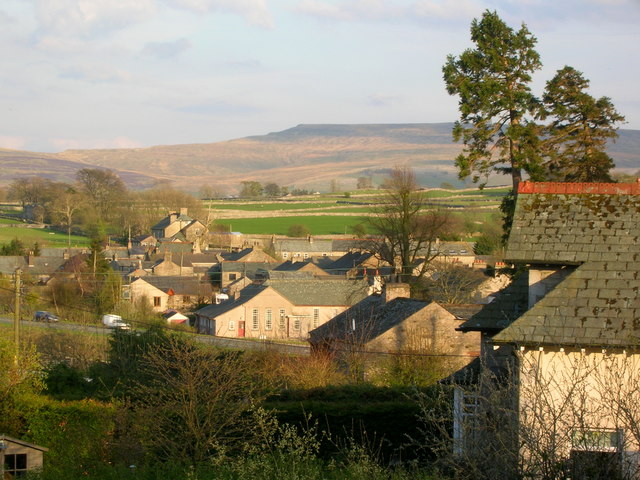
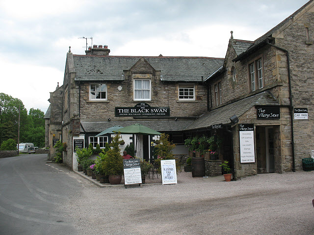
Ravenstonedale
- Overview About Ravenstonedale Map Street View The village of Ravenstonedale in Cumbria is located just over 4 miles south-west of Kirkby Stephen Ravenstonedale is a village and large civil parish …
Co-Curate Page
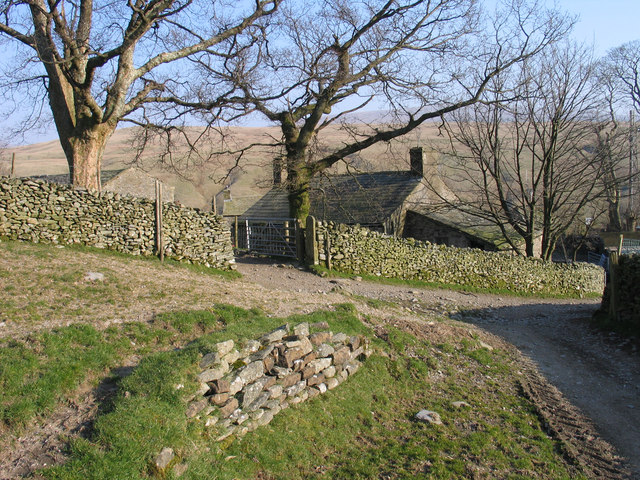
Narthwaite
- Overview Map Narthwaite is a farm / hamlet in the Eden district of Cumbria. It is situated on a hill close to the confluence of Backside Beck with the River Rawthey; …

Co-Curate Page
Ravenstonedale Parish, 1848
- RAVENSTONEDALE (St. Oswald), a parish, in East ward and union, county of Westmorland, 4¾ miles (S.W.) from Kirkby-Stephen; containing 973 inhabitants. The manor belonged to the priory of Watton, Yorkshire, …

Co-Curate Page
Newbiggin-on-Lune
- Overview About Newbiggin-on-Lune Map Street View Newbiggin-on-Lune is a village in the Eden district of Cumbria, England. Historically in Westmorland it is about south west of Kirkby Stephen, and …
Co-Curate Page
Ravenstonedale
- Overview About Ravenstonedale Map Street View The village of Ravenstonedale in Cumbria is located just over 4 miles south-west of Kirkby Stephen Ravenstonedale is a village and large civil parish …
Co-Curate Page
Narthwaite
- Overview Map Narthwaite is a farm / hamlet in the Eden district of Cumbria. It is situated on a hill close to the confluence of Backside Beck with the River Rawthey; …


