Topics > Civil Parishes in Cumbria > Plumbland Civil Parish
Plumbland Civil Parish
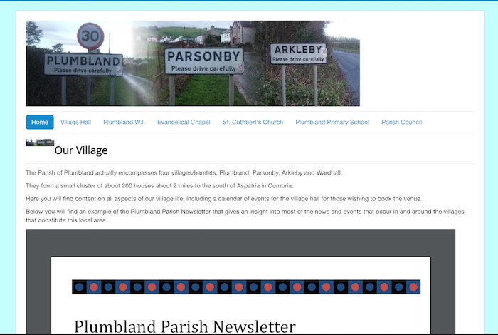
Plumbland is a civil parish located about 2 miles to the south of Aspatria in the district of Allerdale in Cumbria. The civil parish encompasses the settlements of Plumbland (village), Parsonby, Arkleby and Wardhall. These form a small cluster of about 200 houses.
Area:10.4 km²
Population:
354 (2021 Census)
341 (2011 Census)
367 (2001 Census)
from http://plumbland.org/
Plumbland Parish Council
- "The Parish of Plumbland actually encompasses four villages/hamlets, Plumbland, Parsonby, Arkleby and Wardhall.
They form a small cluster of about 200 houses about 2 miles to the south of Aspatria …
Added by
Simon Cotterill
Co-Curate Page
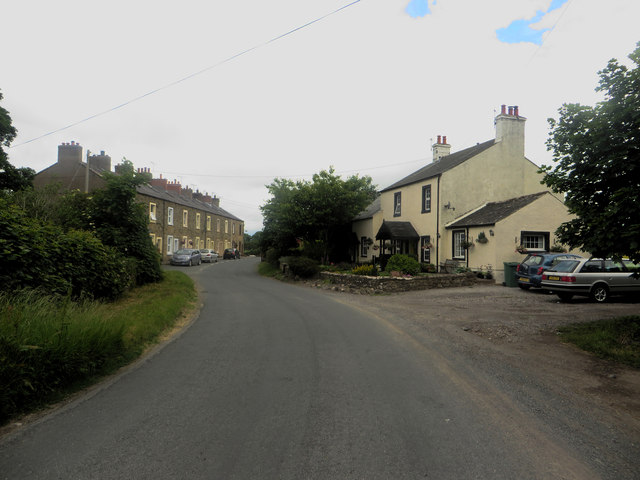
Parsonby
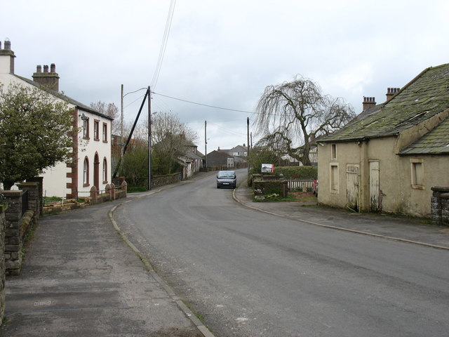
- Overview About Parsonby Map Street View Parsonby is a hamlet in the Allerdale district of the English county of Cumbria. It is located on the B5301 road, south of …
Co-Curate Page
Plumbland
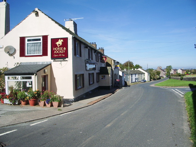
- Overview About Plumbland Map Street View Plumbland is a village in the Allerdale district of Cumbria, located about 6 miles north of Cockermouth. Within the village are the Last Man …
Co-Curate Page
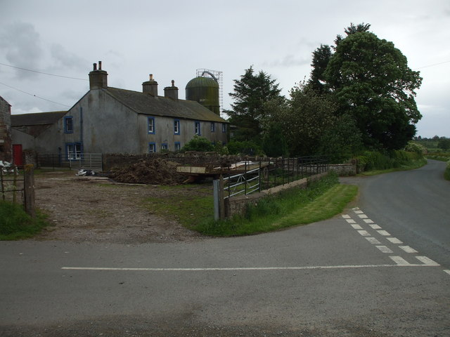
Arkleby
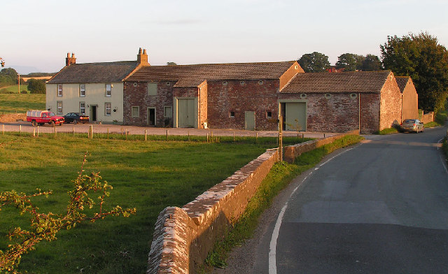
- Overview About Arkleby Map Street View Arkleby is a small settlement in Cumbria, located about 1 mile south of Aspatria and 9 miles south-west of Wigton. Arkleby is part of …

from https://historicengland.org.u…
Settlement 450m east of Eweclose
- "....The monument includes a Romano-British settlement enclosure situated on a north west facing slope with extensive views to the north and west and overlooked by higher ground to the south …
Added by
Simon Cotterill
Co-Curate Page
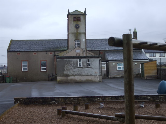
Plumbland CofE Primary School
- Overview Map Street View Plumbland Church of England Primary School is located in Parsonby in the parish of Plumbland in Cumbria, near St Cuthbert's Church. The school has roughly 50 …

Co-Curate Page
Plumbland Parish, 1848
- PLUMBLAND (St. Cuthbert), a parish, in the union of Cockermouth, Allerdale ward below Derwent, W. division of Cumberland, 6 miles (N. by E.) from Cockermouth; containing 729 inhabitants. The parish …

from https://www.cumbriacountyhist…
Plumbland
- "Ancient parish in Allerdale below Derwent ward, Cumberland, including villages of Arkleby and Parsonby....parish contained four manors. Manor of Plumbland, in hands of Orfeur family by early 14th century; sold …
Added by
Simon Cotterill

from http://plumbland.org/
Plumbland Parish Council
- "The Parish of Plumbland actually encompasses four villages/hamlets, Plumbland, Parsonby, Arkleby and Wardhall.
They form a small cluster of about 200 houses about 2 miles to the south of Aspatria …
Added by
Simon Cotterill
Co-Curate Page
Parsonby
- Overview About Parsonby Map Street View Parsonby is a hamlet in the Allerdale district of the English county of Cumbria. It is located on the B5301 road, south of …
Co-Curate Page
Plumbland
- Overview About Plumbland Map Street View Plumbland is a village in the Allerdale district of Cumbria, located about 6 miles north of Cockermouth. Within the village are the Last Man …
Co-Curate Page
Arkleby
- Overview About Arkleby Map Street View Arkleby is a small settlement in Cumbria, located about 1 mile south of Aspatria and 9 miles south-west of Wigton. Arkleby is part of …
from https://historicengland.org.u…
Settlement 450m east of Eweclose
- "....The monument includes a Romano-British settlement enclosure situated on a north west facing slope with extensive views to the north and west and overlooked by higher ground to the south …
Added by
Simon Cotterill
Co-Curate Page
Plumbland CofE Primary School
- Overview Map Street View Plumbland Church of England Primary School is located in Parsonby in the parish of Plumbland in Cumbria, near St Cuthbert's Church. The school has roughly 50 …
Co-Curate Page
Plumbland Parish, 1848
- PLUMBLAND (St. Cuthbert), a parish, in the union of Cockermouth, Allerdale ward below Derwent, W. division of Cumberland, 6 miles (N. by E.) from Cockermouth; containing 729 inhabitants. The parish …
from https://www.cumbriacountyhist…
Plumbland
- "Ancient parish in Allerdale below Derwent ward, Cumberland, including villages of Arkleby and Parsonby....parish contained four manors. Manor of Plumbland, in hands of Orfeur family by early 14th century; sold …
Added by
Simon Cotterill


