Topics > Heritage Sites > Hadrian's Wall > Wall Mile 52 > Pike Hill Signal Tower
Pike Hill Signal Tower
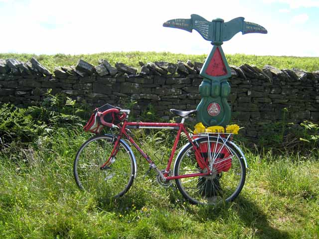
The remains of Pike Hill Signal Tower are on Wall Mile 52 of Hadrian's Wall, located on the highest point of a ridge, about 3½ miles north-east of Brampton in Cumbria. The tower predates the Wall and was originally part of a network of signal towers associated with Stanegate (Roman road). It was integrated into Hadrian's Wall when the wall was built around AD 122, The tower was partly destroyed in 1870 when the road was drastically lowered. Excavation in 1931 by Simpson revealed the one remaining corner and a ground floor door together with Roman pottery of various dates. The tower was found to have very deep foundations, suggesting it was built much taller than standard turrets on Hadrian's Wall. Pike Hill Signal Tower is on the Hadrian's Wall Path and also on the Birdoswald Roman Trail rom Lanercost Priory to Willowford Wall, Turrets and Bridge.

from Flickr (flickr)
Wall Mile 52 - Pike Hill Signal Tower, Hadrian's Wall
Pinned by Simon Cotterill

from Flickr (flickr)
Wall Mile 52 - Pike Hill Signal Tower, Hadrian's Wall
Pinned by Simon Cotterill

from Flickr (flickr)
Wall Mile 52 - Pike Hill Signal Tower, Hadrian's Wall
Pinned by Simon Cotterill


from https://www.english-heritage.…
Pike Hill Signal Tower - Hadrian's Wall
- Visitor information
Added by
Simon Cotterill

from https://historicengland.org.u…
Hadrian's Wall and vallum between the field boundary west of Coombe Crag and Banks Green Cottage and the road to Lanercost at Banks in wall miles 51 and 52 - List Entry
- ....The monument includes the section of Hadrian's Wall and vallum and their associated features between the field boundary west of Coombe Crag in the east and Banks Green Cottage and …
Added by
Simon Cotterill
Co-Curate Page
Stanegate
- The Stanegate ("stone road") was an important Roman road, built before Hadrian's Wall, which linked forts at Carlisle (Luguvalium) and Corbridge (Corstopitum). It became the northern frontier of Roman empire in …

from Flickr (flickr)
Wall Mile 52 - Pike Hill Signal Tower, Hadrian's Wall
Pinned by Simon Cotterill
from Flickr (flickr)
Wall Mile 52 - Pike Hill Signal Tower, Hadrian's Wall
Pinned by Simon Cotterill
from Flickr (flickr)
Wall Mile 52 - Pike Hill Signal Tower, Hadrian's Wall
Pinned by Simon Cotterill
from https://www.english-heritage.…
Pike Hill Signal Tower - Hadrian's Wall
- Visitor information
Added by
Simon Cotterill
from https://historicengland.org.u…
Hadrian's Wall and vallum between the field boundary west of Coombe Crag and Banks Green Cottage and the road to Lanercost at Banks in wall miles 51 and 52 - List Entry
- ....The monument includes the section of Hadrian's Wall and vallum and their associated features between the field boundary west of Coombe Crag in the east and Banks Green Cottage and …
Added by
Simon Cotterill


")


