Topics > Tees Valley > Piercebridge
Piercebridge
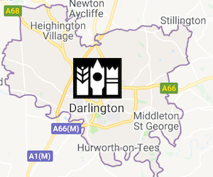
Piercebridge is a village and civil parish in the borough of Darlington and the ceremonial county of Durham, England. The population of the civil parish at the 2011 Census was 113. It is situated a few miles west of the town of Darlington. It is on the site of a Roman fort of AD 260–270, which was built at the point where Dere Street crossed the River Tees. Part of the fort is under the village green. The settlement has been in continuous use ever since.
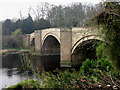
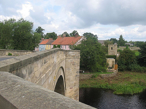
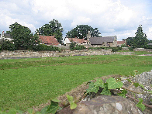
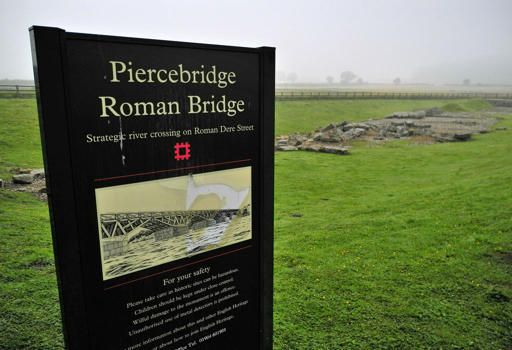
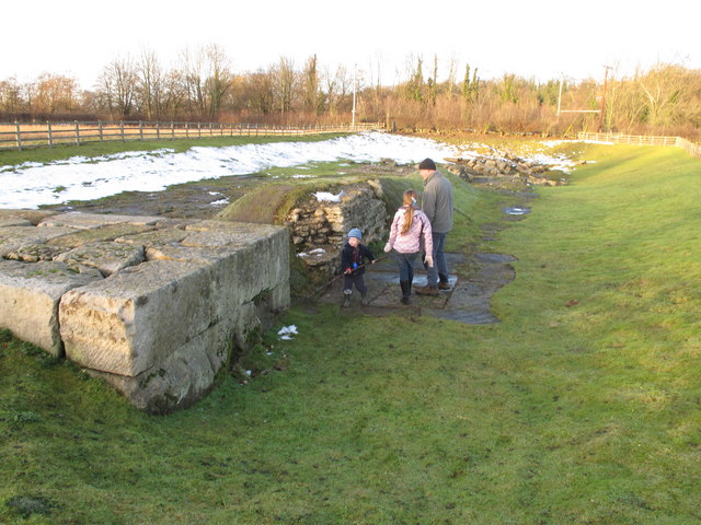
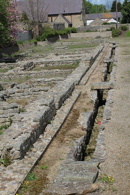
The excavated Roman fort is open to the public and the remains of Piercebridge Roman Bridge over the Tees now lie around south of the current course of the river, approximately east of Piercebridge, at the east side of Cliffe, Richmondshire.
Name and location
Piercebridge is named after its Roman bridge or brigg: in 1104 it was Persebrig; in 1577 it was Priestbrigg. It is thought that pierce comes from pershe, meaning osiers, perhaps because the bridge was at least partly made of osier twigs in 1050 when the name is first recorded. Alternative suggested meanings, of "priest" and the name "Piers", would be too modern in origin for such an old place name. The village is sited where the York-Newstead Roman road known as Dere Street crosses the River Tees.
History
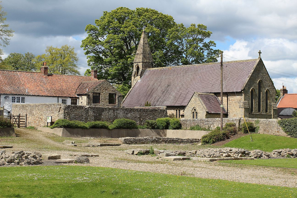
The Romans built a fort here to defend the crossing against the Brigantes, but after the Romans left in around 410 AD there was no important Saxon or medieval settlement, although some people stayed on in the fort for a century or so. It is thought that this plain in the Tees Valley became the centre of the Catraeth kingdom of the descendants of the Brigantes. There was no medieval Piercebridge parish, but there was a chapel recorded in 1546. The name of White Cross Farm and cottage may come from the 17th century apocryphal tale that one of the Dukes of Cleveland demanded the whitewashing of houses on his land so that he could recognise his own property should he require shelter during a storm while hunting. The 18th-century farmhouse, Piercebridge Grange, may be on the site of a monastic grange. It was tenanted by James Rawe, gentleman, in 1847. It is now a Grade II listed building, but was derelict by 2008. Piercebridge Battle was partly fought on the bridge, when on 1 December 1642 a small Royalist contingent including William Cavendish defended it against Parliamentarians led by Lord Fairfax. St Mary's church and churchyard were used for 115 extant memorials and burials from 1836 to 1987. In 2001 the Piercebridge area suffered in the foot and mouth epidemic.
A clock in the George Hotel inspired Henry Clay Work's 1876 song "My Grandfather's Clock". The clock was said to have been owned by two brothers named Jenkins. When one brother died, the clock began losing time, and it stopped forever upon the death of the other.
Topography
In 1887, this village had of which 17 were water, a population of 206, a railway station and a post office. Since then it has lost the railway station, gained few residents, and retained its post office. Originally Dere Street crossed the Tees further upstream, but in 1771 a flood washed away the remains of the old Roman bridge, and in 1789 a new bridge replaced the ferry. The 1806 map shows Dere Street as the main route via Piercebridge between Richmond and Bishop Auckland, although the Ripon-Durham route went via Darlington. The 1904 map shows the route diverted via Staindrop, and that part of Dere Street between Piercebridge and Bishop Auckland had become a minor road. This was possibly due to the advent of the NER Darlington and Barnard Castle railway (1858) whose Piercebridge station closed in 1964. According to the land-usage map of 1942, this was an area of arable land and pasture, and the urbanisation around Darlington had not yet begun to encroach.
Archaeological sites
Under the village green is the Roman fort known as Magis, Morbium or Vinovium, where Dere Street crossed the River Tees, and where there was Roman presence from about 70 AD to at least the fifth century. To the east of the fort in Tofts Field there is a vicus, and a Roman bath house which was incorporated into St Mary's chapel, and is now on private land. Archaeological television programme Time Team has been here in 2009, attracted by Piercebridge Roman Fort in 2009.
Modern Piercebridge
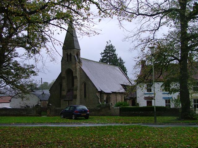
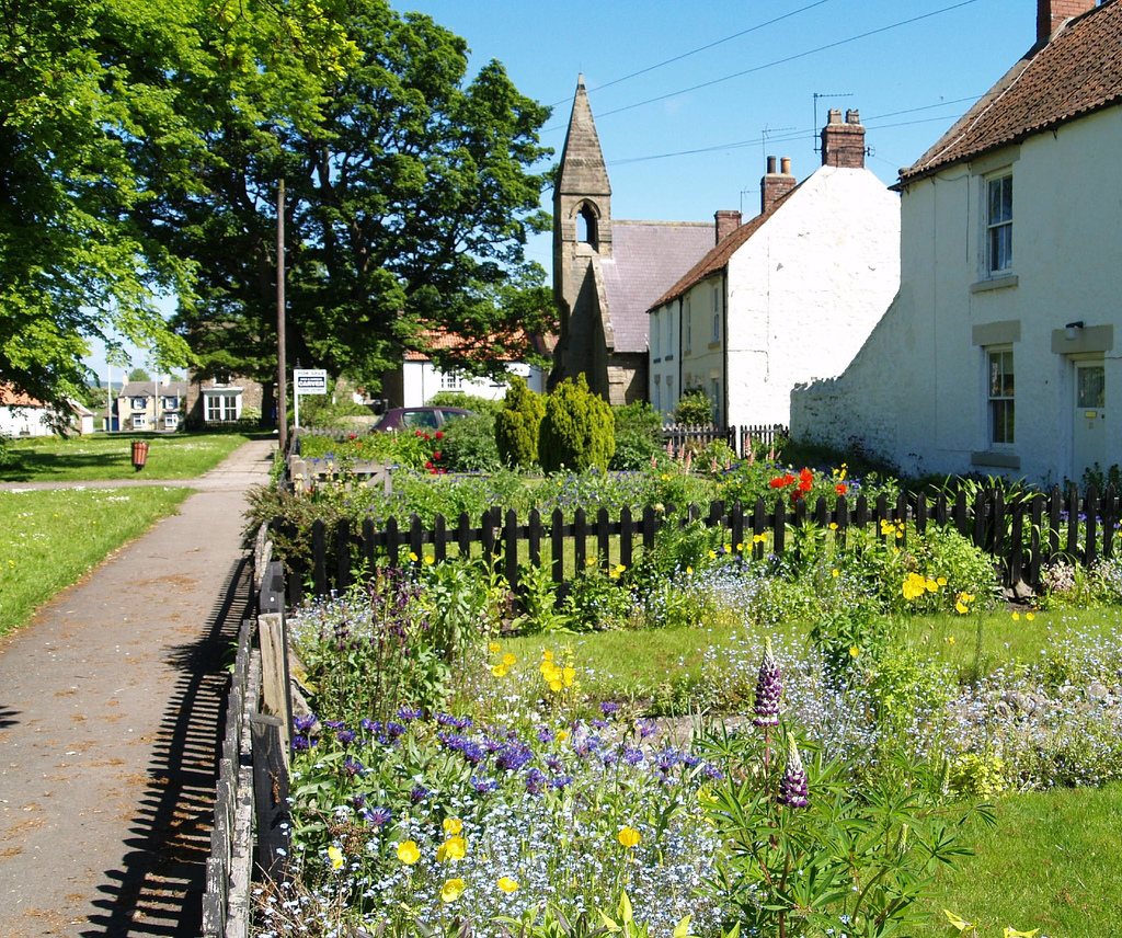
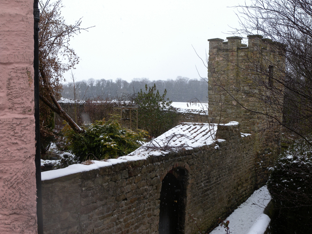
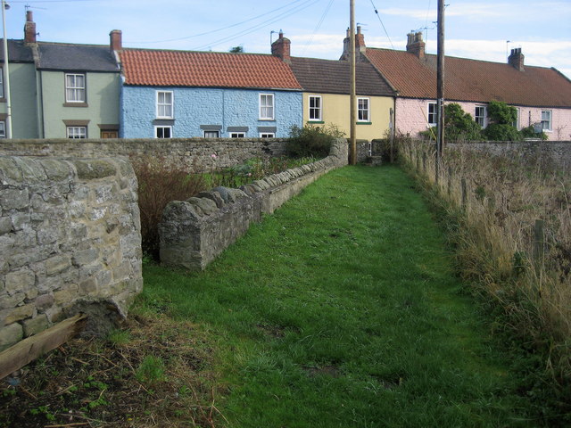
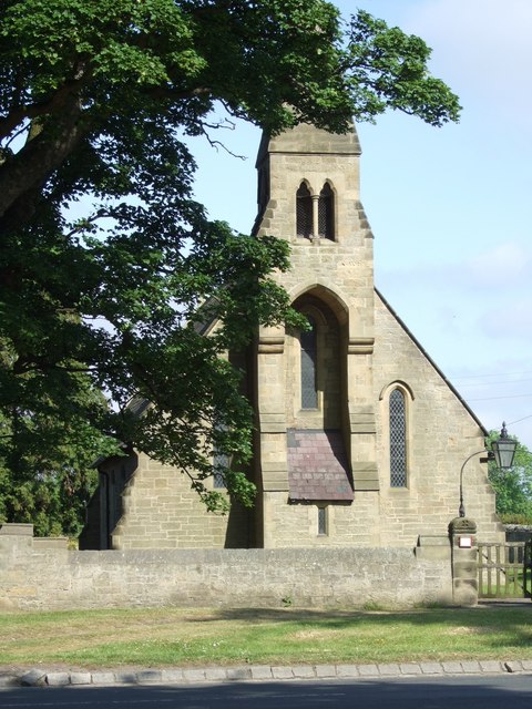
It is a village of Georgian and Victorian cottages: some painted white or cream; some of one storey only. There are several Grade II listed buildings in the village and its environs, including White Cross Farmhouse, White Cross Cottage, Carlbury Bridge, Piercebridge Grange Farmhouse, the Church of St Mary and its wall and gate, and numbers 2, 28, 29 and 30 on The Green. The Grange farm buildings, however, were developed into residential properties in 2008. Piercebridge Roman Bridge and the medieval chapel ruins on Roman foundations behind Bath House in Tees View are listed Grade II*. The village green contains some very old trees, and in the river are trout and greyling. At the north end of the village, near the A67 is the Carlbury Arms pub. There is also a Farmway Country Store and Piercebridge Feed Company, retailing rural supplies. The dismantled Tees Valley Railway has become the Tees Valley Railway Path. Church services are held at St Mary's every other week, and there is also a Wesleyan Methodist chapel.
Visit the page: Piercebridge for references and further details. You can contribute to this article on Wikipedia.
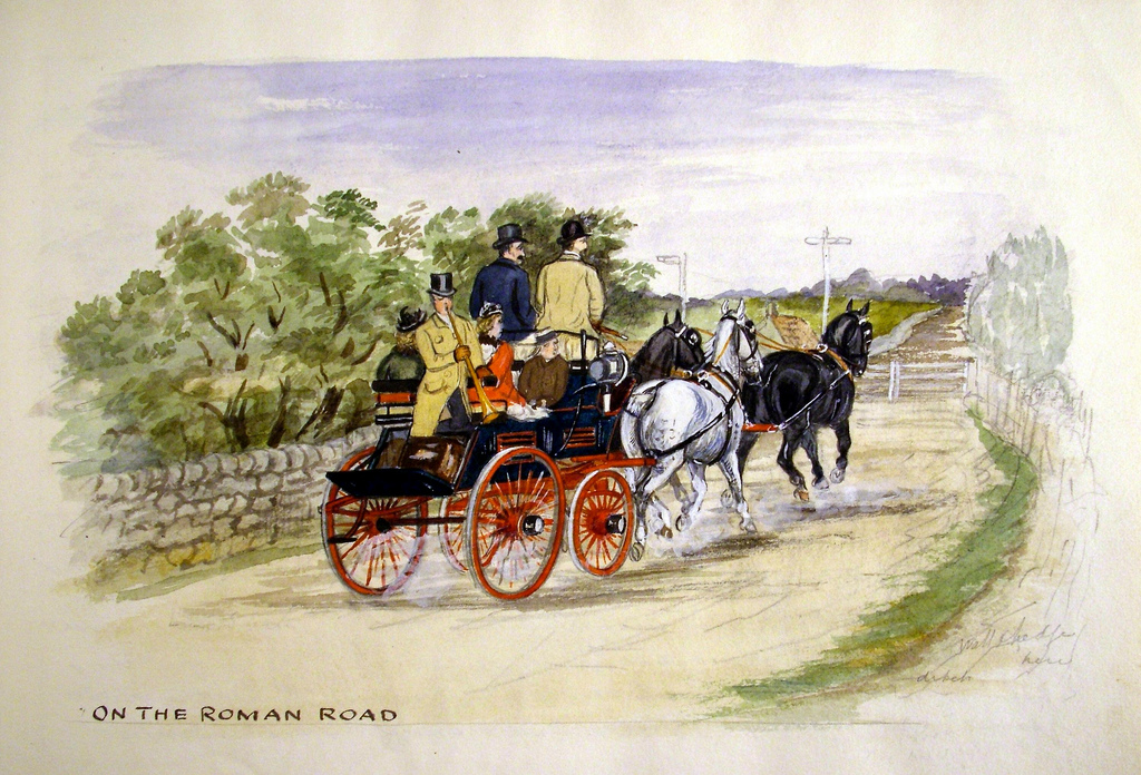
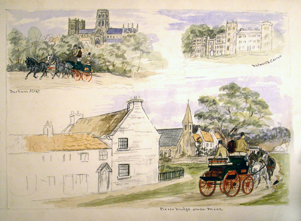
from Beamish (flickr)
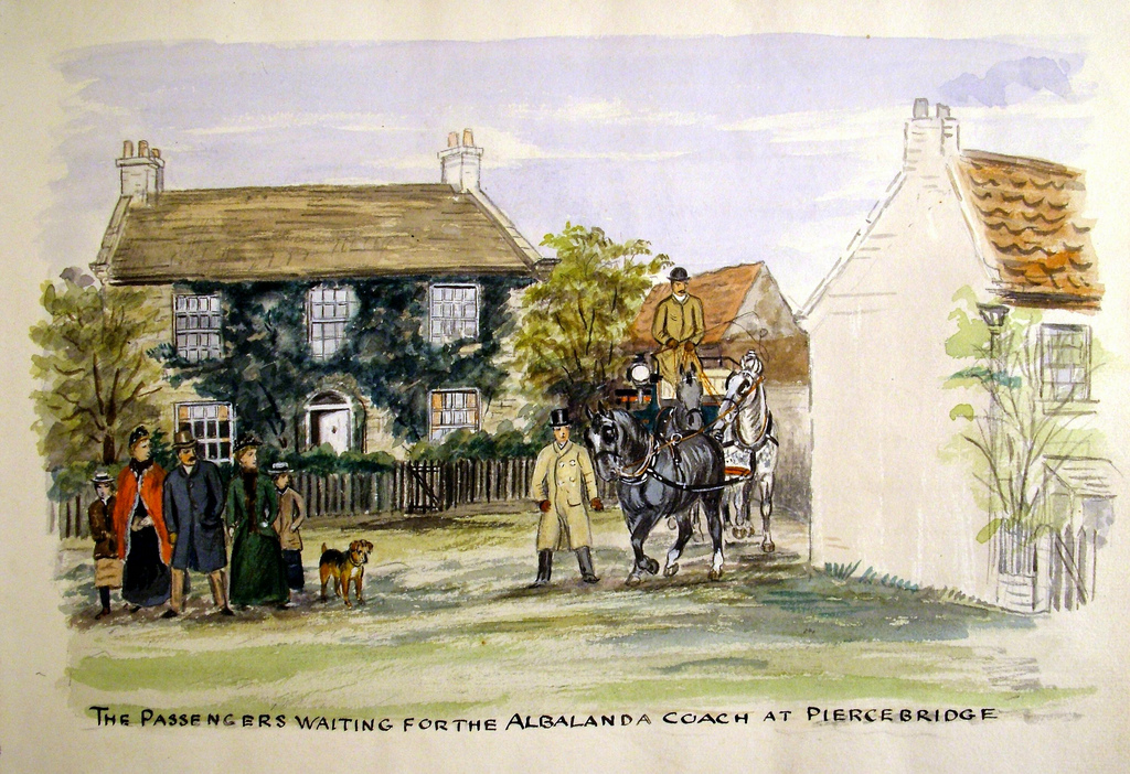
2 - The Passengers waiting for the Albalanda coach at Piercebridge
Pinned by Simon Cotterill
Co-Curate Page
Piercebridge Roman Bridge
- Overview About the Roman Bridge Map Street View The Roman bridge at Piercebridge crossed the River Tees, carrying Dere Street, the Roman road that linked York with Corbridge, near Hadrian’s …
Co-Curate Page
Morbium - Roman Fort at Piercebridge
- Note: Scheduled Monument area - map data from Hstoric England c/o Open Data UK, under the Open Government Licence, imported into Google MyMaps, March 2026. "Piercebridge is located on the …
Co-Curate Page
Borough of Darlington
- Overview About the Borough of Darlington Darlington Borough Council is a unitary authority in the ceremonial county of County Durham. The borough is part of the Tees Valley combined authority. …

from Beamish (flickr)
2 - The Passengers waiting for the Albalanda coach at Piercebridge
Pinned by Simon Cotterill
Co-Curate Page
Piercebridge Roman Bridge
- Overview About the Roman Bridge Map Street View The Roman bridge at Piercebridge crossed the River Tees, carrying Dere Street, the Roman road that linked York with Corbridge, near Hadrian’s …
Co-Curate Page
Morbium - Roman Fort at Piercebridge
- Note: Scheduled Monument area - map data from Hstoric England c/o Open Data UK, under the Open Government Licence, imported into Google MyMaps, March 2026. "Piercebridge is located on the …
Co-Curate Page
Borough of Darlington
- Overview About the Borough of Darlington Darlington Borough Council is a unitary authority in the ceremonial county of County Durham. The borough is part of the Tees Valley combined authority. …