Topics > Leisure and Interests > Hiking > Pennine Way
Pennine Way
The Pennine Way is a 268-mile National Trail running along the "backbone of England" from Edale in the Peak District to Kirk Yetholm in the Scottish Borders. Opened in 1965 as Britain’s first long-distance footpath, it offers a challenging, wild, and scenic trek through the Peak District, Yorkshire Dales, North Pennines, and Cheviots.
Co-Curate Page
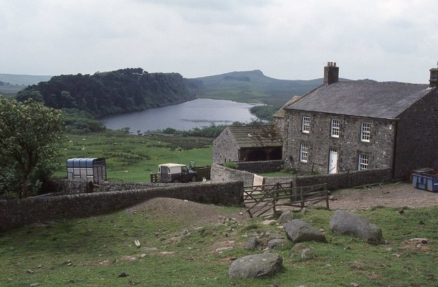
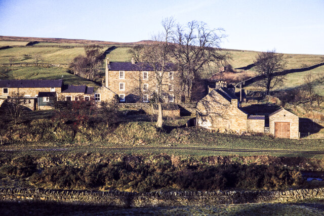
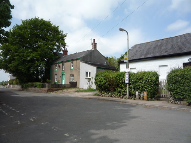
Grassholme
- Overview Map Street View Grassholme is a hamlet in County Durham, located about 8 miles north-west of Barnard Castle and 4 miles south-east of Middleton-in-Teesdale. It is located along the …

Co-Curate Page
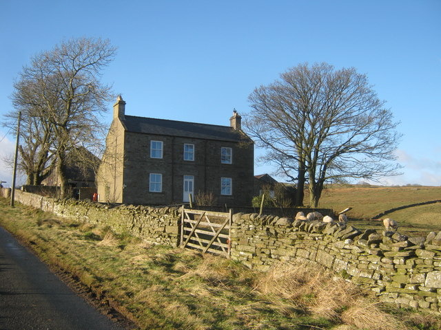
Sleightholme
- Overview Map Street View Sleightholme is a hamlet / farm in County Durham, located about 3 miles south-west of the village of Bowes. It is situated near Sleightholme Beck, and …

Co-Curate Page
Bridge over Blakehope Burn
- Overview Map Street View There is a bridge carrying the Pennine Way over Blakehope Burn at Blakehopeburnhaugh. There is a car park and picnic area close to the bridge (the …
Co-Curate Page
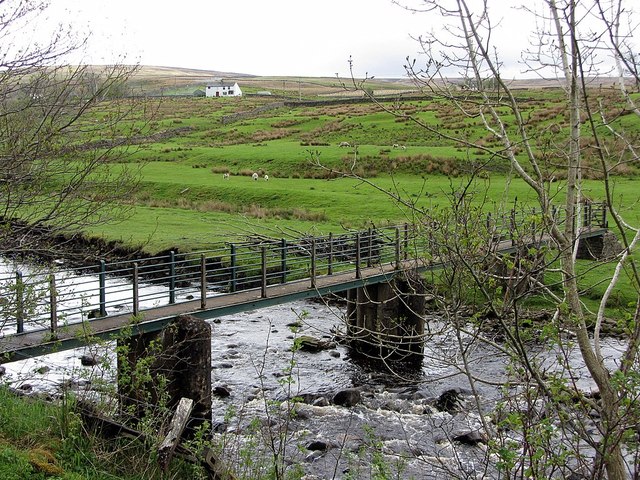
Footbridge over the South Tyne
- Overview Map There is a footbridge carrying the Pennine Way over the River South Tyne near Dryburn Farm, about 1½ miles north-west of Garrigill.

Co-Curate Page
Blakehopeburnhaugh
- Overview Map Street View Blakehopeburnhaugh is a farm in Redesdale Forest, located about ¼mile south-west of the A68 and 8 miles north-west of Otterburn. The farm is situated by Blakehope …

Co-Curate Page
Bridge over the River Rede, Blakehopeburnhaugh
- Overview Map Street View This bridge carryies the Pennine Way over the River Rede, north of the farm at Blakehopeburnhaugh.
Co-Curate Page
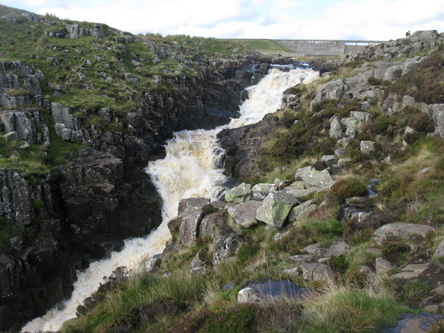
Cauldron Snout, River Tees
- Overview About Cauldron Snout Map Cauldron Snout is a waterfall on the River Tees in Upper Teesdale, located just below the dam of the Cow Green Reservoir, on the boundary between …
Co-Curate Page
Hotbank Farm
- Overview Map Street View Hotbank is a farm in Northumberland, situated by Hotbank Crags, to the east of Crag Lough. Hotbank is on Hadrian's Wall and is close to the …
Co-Curate Page
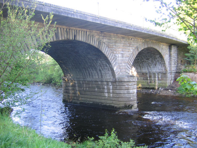
Alston Bridge over the South Tyne
- Overview Map Street View This bridge over the River South Tyne is located on the south-western outskirts of Alston. It carries the A685 road and is also on the Pennine …
Co-Curate Page
Garrigill
- Overview About Garrigill Map Street View Garrigill is a village in Cumbria, located in the North Pennines, about 3 miles south of Alston. Garrigill is situated by the River South …
Co-Curate Page
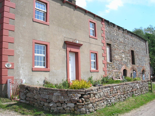
Burnstones, Northumberland
- Overview Map Street View Burnstones is a hamlet in Northumberland, located off the A689 road, about 6 miles south-west of Haltwhistle and 5 miles north of Alston. The settlement is …
Co-Curate Page
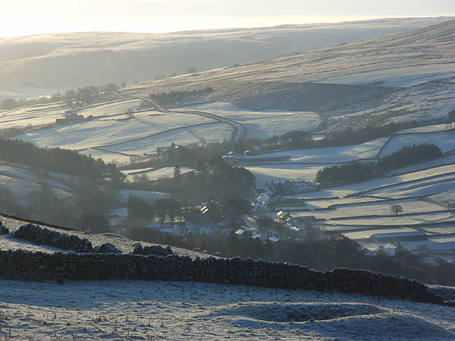
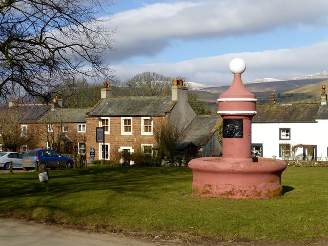
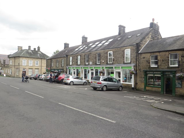
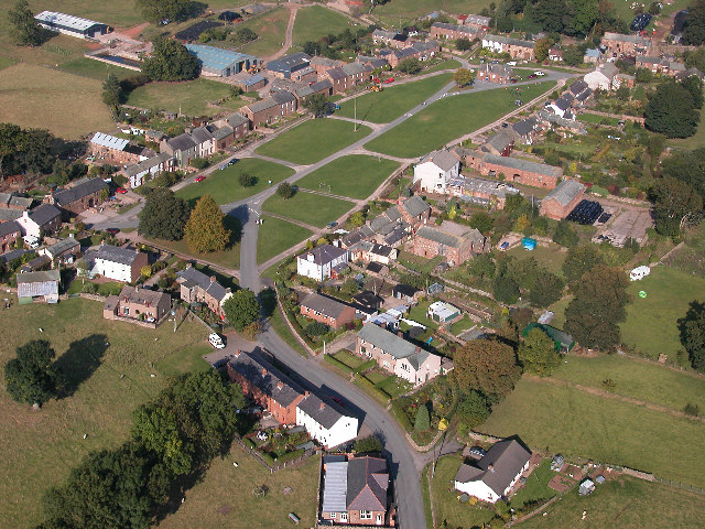
Dufton
- Overview About Dufton Map Street View Timeline Dufton is a village in Cumbria, located on the Pennine Way and about 3 miles north of Appleby-in-Westmorland. Dufton is centred around a …
Co-Curate Page
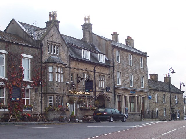
Middleton-in-Teesdale
- Overview About Middleton-in-Teesdale Map Street View Middleton-in-Teesdale ia a market town in County Durham, about 9 miles north-west of Barnard Castle. Middleton is located by the River Tees in Upper …

Co-Curate Page
Milecastle 40 (Winshields)
- Overview Map Aerial View Interactive Glossary Milecastle 40 of Hadrian's Wall is located on Winshields Crags, about ¼mile north of Winshields (farm). It was a Roman fort on Wall Mile …

Co-Curate Page
Turret 44B (Mucklebank)
- Overview Map Street View Interactive Glossary Turret 44B (Mucklebank) is located on Wall Mile 44 of Hadrian's Wall. It is a relatively well-preserved observation tower built into a right-angled turn …
Co-Curate Page
Halton-Lea-Gate
- Overview About Halton Lea Gate Map Street View Halton Lea Gate is a small Northumberland village, situated on the A689 road close to the boundary of the counties of …
Co-Curate Page
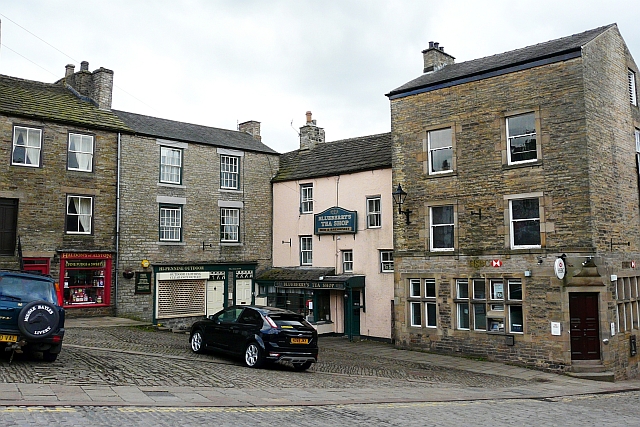
Dent, South Lakeland
- Overview About Dent Map Street View Dent is a village and civil parish in Cumbria, England, and within the historic boundaries of the West Riding of Yorkshire. It lies …
Co-Curate Page
Hushing
- Overview About Hushing Hushing was a method of mining on steep hillsides used from Roman times or earlier, up to the 19th Century. A dam would be built near the …
Co-Curate Page
Bellingham
- Overview About Bellingham Map Street View Bellingham is a village in Northumberland, to the north-west of Newcastle upon Tyne and is situated on the Hareshaw Burn at its confluence …
Co-Curate Page
Alston
- Overview About Alston Map Street View Alston is a small town in Cumbria, England, within the civil parish of Alston Moor on the River South Tyne. It shares the …
Co-Curate Page
Greenhead
- Overview About Greenhead Map Street View Greenhead is a village in Northumberland, located about 3 miles west of Haltwistle (there is also another village called Greenhead in Shotley Low Quater). St Cuthbert's Church …
Co-Curate Page
Keisley
- Overview About Keisley Map Street View Keisley is a hamlet in the Eden district of Cumbria, located about 1½ miles south-east of the village of Dufton. It is situated on …
Co-Curate Page
Beaumont
- Overview About Beaumont Map Street View Beaumont (pronounced locally as bee-mont) is a village and civil parish in the City of Carlisle district of Cumbria, England. The village lies …
Co-Curate Page
Byrness
- Overview About Byrness Map BYRNESS, a chapelry, in the parish of Elsdon, union of Rothbury, S. division of Coquetdale ward, N. division of Northumberland, 13¾ miles (N.N.W.) from Bellingham. This …
Co-Curate Page
Milburn
- Overview About Milburn Map Street View Milburn is a village in the Eden district of Cumbria, located about 9 miles east of Penrith and 6 miles north-west of Appleby-in-Westmorland. The …

Co-Curate Page
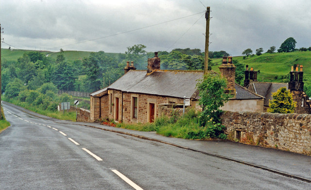
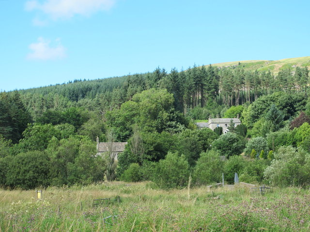
East Mellwaters
- East Mellwaters is a hamlet / farm in County Durham located about 1¾ mile west of Bowes and 6 miles south-west of Barnard Castle. It is situated between the River …


Co-Curate Page
God's Bridge
- Overview Map Street View SSSI God's Bridge is a natural limestone span over the River Greta, located about 2 miles WSW of Bowes in County Durham. It is identified by …

Co-Curate Page
Grassholme
- Overview Map Street View Grassholme is a hamlet in County Durham, located about 8 miles north-west of Barnard Castle and 4 miles south-east of Middleton-in-Teesdale. It is located along the …
Co-Curate Page
Sleightholme
- Overview Map Street View Sleightholme is a hamlet / farm in County Durham, located about 3 miles south-west of the village of Bowes. It is situated near Sleightholme Beck, and …
Co-Curate Page
Bridge over Blakehope Burn
- Overview Map Street View There is a bridge carrying the Pennine Way over Blakehope Burn at Blakehopeburnhaugh. There is a car park and picnic area close to the bridge (the …
Co-Curate Page
Footbridge over the South Tyne
- Overview Map There is a footbridge carrying the Pennine Way over the River South Tyne near Dryburn Farm, about 1½ miles north-west of Garrigill.
Co-Curate Page
Blakehopeburnhaugh
- Overview Map Street View Blakehopeburnhaugh is a farm in Redesdale Forest, located about ¼mile south-west of the A68 and 8 miles north-west of Otterburn. The farm is situated by Blakehope …
Co-Curate Page
Bridge over the River Rede, Blakehopeburnhaugh
- Overview Map Street View This bridge carryies the Pennine Way over the River Rede, north of the farm at Blakehopeburnhaugh.
Co-Curate Page
Cauldron Snout, River Tees
- Overview About Cauldron Snout Map Cauldron Snout is a waterfall on the River Tees in Upper Teesdale, located just below the dam of the Cow Green Reservoir, on the boundary between …
Co-Curate Page
Hotbank Farm
- Overview Map Street View Hotbank is a farm in Northumberland, situated by Hotbank Crags, to the east of Crag Lough. Hotbank is on Hadrian's Wall and is close to the …
Co-Curate Page
Alston Bridge over the South Tyne
- Overview Map Street View This bridge over the River South Tyne is located on the south-western outskirts of Alston. It carries the A685 road and is also on the Pennine …
Co-Curate Page
Garrigill
- Overview About Garrigill Map Street View Garrigill is a village in Cumbria, located in the North Pennines, about 3 miles south of Alston. Garrigill is situated by the River South …
Co-Curate Page
Burnstones, Northumberland
- Overview Map Street View Burnstones is a hamlet in Northumberland, located off the A689 road, about 6 miles south-west of Haltwhistle and 5 miles north of Alston. The settlement is …
Co-Curate Page
Dufton
- Overview About Dufton Map Street View Timeline Dufton is a village in Cumbria, located on the Pennine Way and about 3 miles north of Appleby-in-Westmorland. Dufton is centred around a …
Co-Curate Page
Middleton-in-Teesdale
- Overview About Middleton-in-Teesdale Map Street View Middleton-in-Teesdale ia a market town in County Durham, about 9 miles north-west of Barnard Castle. Middleton is located by the River Tees in Upper …
Co-Curate Page
Milecastle 40 (Winshields)
- Overview Map Aerial View Interactive Glossary Milecastle 40 of Hadrian's Wall is located on Winshields Crags, about ¼mile north of Winshields (farm). It was a Roman fort on Wall Mile …
Co-Curate Page
Turret 44B (Mucklebank)
- Overview Map Street View Interactive Glossary Turret 44B (Mucklebank) is located on Wall Mile 44 of Hadrian's Wall. It is a relatively well-preserved observation tower built into a right-angled turn …
Co-Curate Page
Halton-Lea-Gate
- Overview About Halton Lea Gate Map Street View Halton Lea Gate is a small Northumberland village, situated on the A689 road close to the boundary of the counties of …
Co-Curate Page
Dent, South Lakeland
- Overview About Dent Map Street View Dent is a village and civil parish in Cumbria, England, and within the historic boundaries of the West Riding of Yorkshire. It lies …
Co-Curate Page
Hushing
- Overview About Hushing Hushing was a method of mining on steep hillsides used from Roman times or earlier, up to the 19th Century. A dam would be built near the …
Co-Curate Page
Bellingham
- Overview About Bellingham Map Street View Bellingham is a village in Northumberland, to the north-west of Newcastle upon Tyne and is situated on the Hareshaw Burn at its confluence …
Co-Curate Page
Alston
- Overview About Alston Map Street View Alston is a small town in Cumbria, England, within the civil parish of Alston Moor on the River South Tyne. It shares the …
Co-Curate Page
Greenhead
- Overview About Greenhead Map Street View Greenhead is a village in Northumberland, located about 3 miles west of Haltwistle (there is also another village called Greenhead in Shotley Low Quater). St Cuthbert's Church …
Co-Curate Page
Keisley
- Overview About Keisley Map Street View Keisley is a hamlet in the Eden district of Cumbria, located about 1½ miles south-east of the village of Dufton. It is situated on …
Co-Curate Page
Beaumont
- Overview About Beaumont Map Street View Beaumont (pronounced locally as bee-mont) is a village and civil parish in the City of Carlisle district of Cumbria, England. The village lies …
Co-Curate Page
Byrness
- Overview About Byrness Map BYRNESS, a chapelry, in the parish of Elsdon, union of Rothbury, S. division of Coquetdale ward, N. division of Northumberland, 13¾ miles (N.N.W.) from Bellingham. This …
Co-Curate Page
Milburn
- Overview About Milburn Map Street View Milburn is a village in the Eden district of Cumbria, located about 9 miles east of Penrith and 6 miles north-west of Appleby-in-Westmorland. The …
Co-Curate Page
East Mellwaters
- East Mellwaters is a hamlet / farm in County Durham located about 1¾ mile west of Bowes and 6 miles south-west of Barnard Castle. It is situated between the River …


