Topics > Northumberland > Callaly > Multivallate hillfort, north of Callaly
Multivallate hillfort, north of Callaly
Scheduled Monument area - based on Historic England data (Open Government Licence) - to the north of Callaly.

LIDAR - Image from opendata.hillforts.eu (CC-BY-SA), based on data from the Environment Agency - National LIDAR programme.
Scheduled Monument (#1011094): Multivallate hillfort, 550m north of Callaly Castle
Click the headings below to expand (selected extracts from the Historic England scheduling)
The hillfort north of Callaly Castle survives reasonably well and is unusual in occupying such a low-lying location. It will contribute to our knowledge and understanding of the range and nature of later prehistoric settlement in the area.
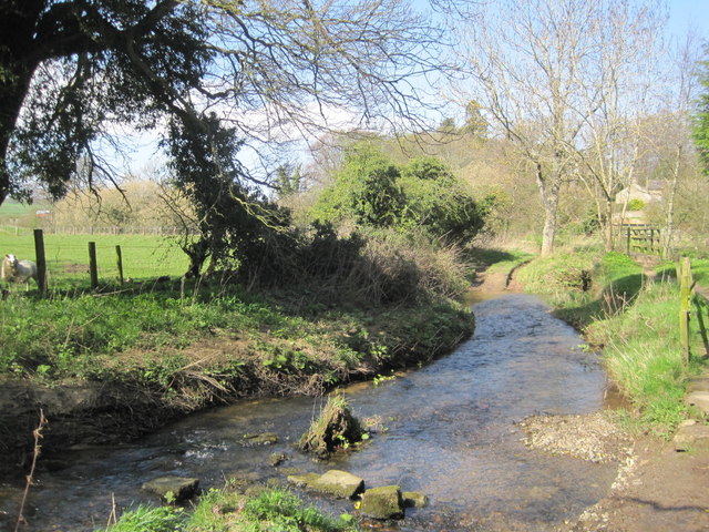
The monument includes an enclosure of Iron Age date, situated on a near level site adjacent to the Callaly Burn; the ground falls away to the burn on the south side. The enclosure has an oval central platform measuring 60m by 40m surrounded by scarped banks 1.2m high and 5m wide. A gap in the east is an original entrance 10m wide. There are also slight traces of an inner bank on the east. Concentric to the platform and at a distance of 25m to the south, there is an outer work. This is formed by a ditch 10m wide and 2m deep. In front of the ditch there is a counter-scarp bank 5m wide and 0.1m high, which merges with the natural slopes of the ground. Outside of the ditch there is an external bank, 5m wide and 0.5m high.
EN0505 The Old Hag, Northumberland
Click the headings below to expand (selected extracts from the Atlas of Hillforts of Britain and Ireland)
On low lying ground 550m to the NW of Castle Hill Callaly (Atlas No. 0504), a multivallate hillfort with an enclosed area of approximately 0.19ha. The small, roughly oval enclosure measures 60m by 40m and lies on relatively level ground at 95m OD, falling eastwards towards the Callaly Burn in the E and SE, with higher ground in the W. The enclosed area is surrounded by scarped banks 1.2m high and 5m wide with traces of a further inner bank in the E. Twenty-five metres to the S of the enclosure are outer works which run concentrically to the enclosure and comprise a bank 5m wide and 0.1m high which merges into the sloping ground towards the Callaly Burn. Beyond this is a ditch 10m wide by 2m deep, outside of which is a further bank 5m wide by 0.5m high. A simple gap entrance 10m wide lies in the E. A further gap in the W is probably not contemporary with the construction of the ramparts. The interior has been disturbed by old tree planting and no internal features are known. It survives in poor condition and was recorded as nearly destroyed by MacLauchlan in 1864. The site is recorded on 1856-65 OS mapping and was scheduled in 1949. It has seen no further investigation and is undated.
Source: Lock, Gary and Ralston, Ian. 2024. Atlas of Hillforts of Britain and Ireland. Available at: https://hillforts.arch.ox.ac.uk (CC BY-SA 4.0)