Topics > Northumberland > Low Angerton
Low Angerton
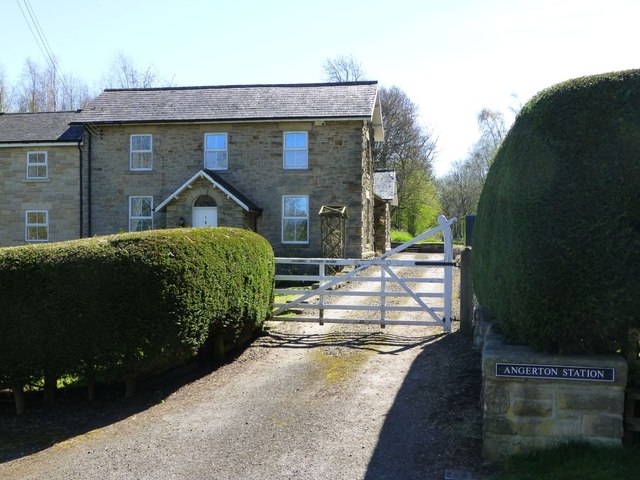
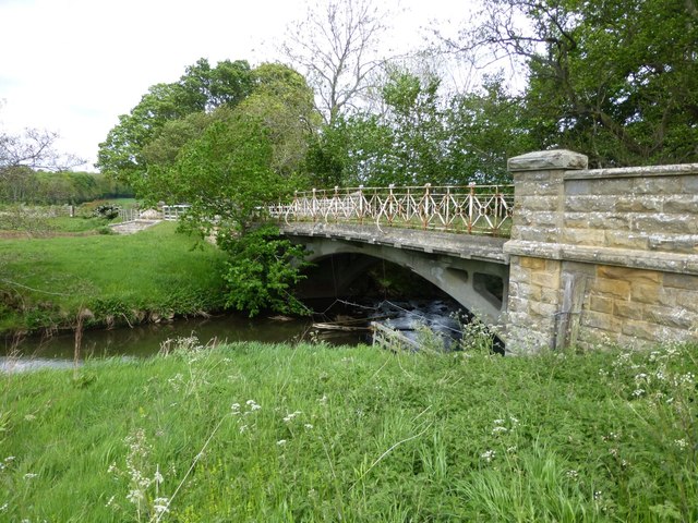
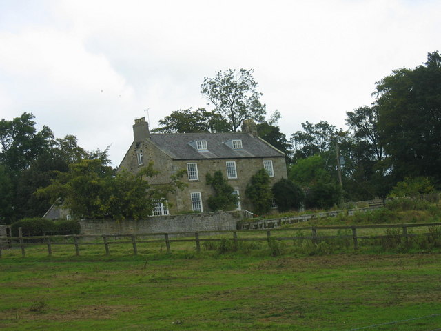
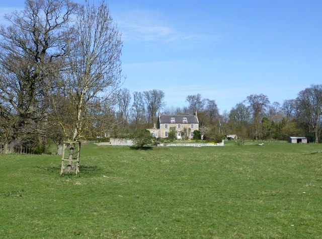
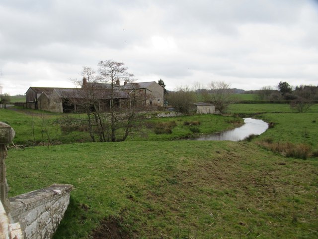
Low Angerton is a hamlet in Northumberland, located about 6 miles west of Morpeth and 1 mile south of the village of Hartburn. It is situated on the south banks of the River Wansbeck. There are earthwork remains of a medieval settlement nearby[1]and there are remains of a bastle at Low Angerton (a Scheduled Monument).[2] The farmhouse at Low Angerton Farm dates from the 17th century, with later additions. To the east of the farm are a row of cottages and Low Angerton House, dating from the 19th century, probably by the site of an earlier Hall. Low Angerton Bridge dates from the early 20th century, replacing a ford over the river here. Nearby, to the south-west, is the former Angerton Station, which was on the Wansbeck Railway. Historically, the wider area around the settlement was Low Angerton township, within the ancient parish of Hartburn. The township became Low Angerton Civil Parish in 1866. This was abolished in 1955, after which Low Angerton became part of Hartburn Civil Parish.

Co-Curate Page
Hartburn Parish, 1855
- Extract from: History, Topography, and Directory of Northumberland...Whellan, William, & Co, 1855. HARTBURN PARISH HARTBURN, a parish partly in the west division of Morpeth Ward, and partly in the …

from https://www.gatehouse-gazette…
Low Angerton Hall
- .....The bastle north east of Low Angerton is reasonably well preserved and retains significant archaeological deposits. It is a rare example of a bastle in the eastern part of Northumberland. …
Added by
Simon Cotterill

from https://keystothepast.info/se…
Low Angerton deserted medieval village (Hartburn)
- ...An area of disturbed ground in parkland consistent with minor depopulation, but forming no coherent pattern.
Deserted medieval village of rectangular outline alongside River Wansbeck. Appears to be two phases …
Added by
Simon Cotterill
from https://keystothepast.info/se…
Possible moated site west of Low Angerton (Hartburn)
- Traces of a possible moated site have been seen on aerial photographs taken in 1947....
Added by
Simon Cotterill
Co-Curate Page
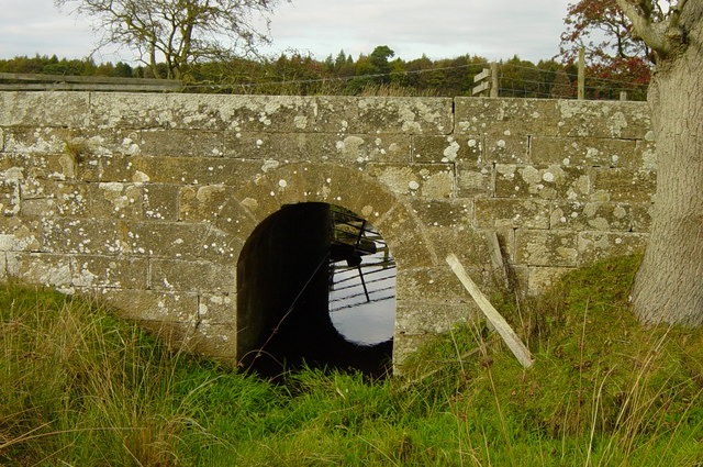
Bridge on track from Low Angerton to Howlet Hall
- Overview Map There is a substantive stone bridge on the bridleway from Low Angerton to Howlet Hall. It is roughly halfway between the two loactions, and carries a track over …

Co-Curate Page
Hartburn Parish, 1855
- Extract from: History, Topography, and Directory of Northumberland...Whellan, William, & Co, 1855. HARTBURN PARISH HARTBURN, a parish partly in the west division of Morpeth Ward, and partly in the …
from https://www.gatehouse-gazette…
Low Angerton Hall
- .....The bastle north east of Low Angerton is reasonably well preserved and retains significant archaeological deposits. It is a rare example of a bastle in the eastern part of Northumberland. …
Added by
Simon Cotterill
from https://keystothepast.info/se…
Low Angerton deserted medieval village (Hartburn)
- ...An area of disturbed ground in parkland consistent with minor depopulation, but forming no coherent pattern.
Deserted medieval village of rectangular outline alongside River Wansbeck. Appears to be two phases …
Added by
Simon Cotterill
from https://keystothepast.info/se…
Possible moated site west of Low Angerton (Hartburn)
- Traces of a possible moated site have been seen on aerial photographs taken in 1947....
Added by
Simon Cotterill