Topics > Northumberland > Civil Parishes in Northumberland > Birtley Civil Parish > Historic Buildings and Monuments in Birtley CP
Historic Buildings and Monuments in Birtley CP
Listed buildings and scheduled monuments in Birtley Civil Parish, Northumberland, from the National Heritage List for England[1]. Use the Search (below) if looking for a specific building / monument.
| Structure | List No. | Grade | Built~ | Notes |
|---|---|---|---|---|
| Belvedere Retaining Wall C30 Yards South and East of Carrycoats Hall | 1155089 | II | Carrycoats | |
| Birtley Castle, in Garden of Birtley Hall | 1044931 | II | ||
| Byre, Granary (And) Wall C20 Yards North-East of Lowshield Green Farmhouse | 1303512 | II | ||
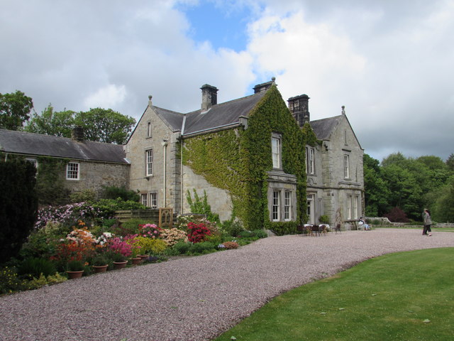
| Carrycoats Hall | 1155082 | II | C17th | Carrycoats |
| Catreen Farmhouse, Outbuildings and Wall | 1044932 | II | ||
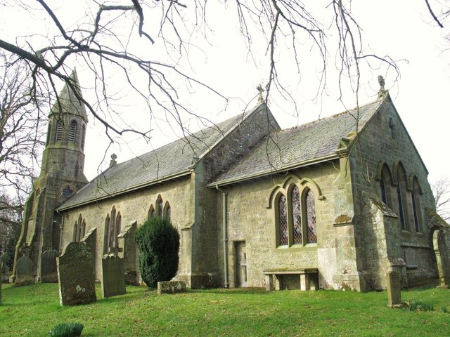
| Church of St Giles | 1370467 | II* | C12th | Restored 1884 |
| Footbridge 30 Yards South of Lowshield Green | 1044935 | II | ||
| Garden Wall and Gate Piers South-West of Carrycoats Hall | 1155100 | II | Carrycoats | |
| Garden Wall East of Carrycoats Hall | 1370468 | II | Carrycoats | |
| Garden Walls at Buteland Farm | 1044933 | II | ||
| Limekiln C 300 Yards South of Birtley Hall | 1155075 | II | ||
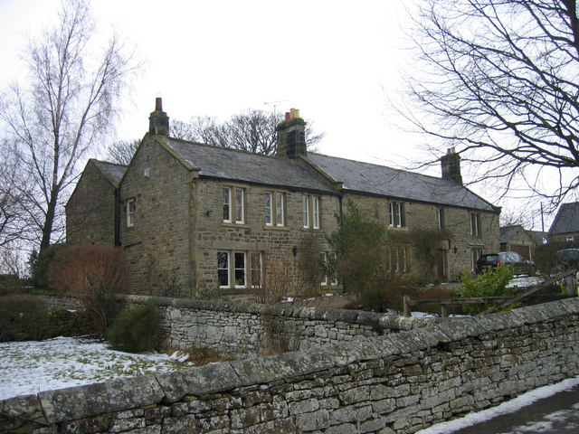
| Lowshield Green Farmhouse and Stable | 1044934 | II | ||
| Sheepfold and Shepherds Shelter C1500 Yards North-East of Lowshield Green | 1303515 | II | ||
| Stables and Groom's Cottage C20 Yards North-West of Carrycoats Hall | 1155103 | II | ||
| The Manor House | 1261883 | II | 1677 | |
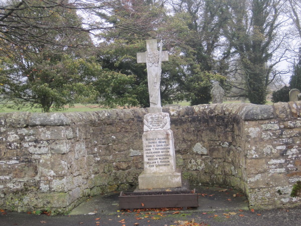
| War Memorial by the Church of St Giles | 1391548 | II | 1920 | |
| Romano-British farmstead, 520m north east of Birtley Shields | 1009676 | n/a | Scheduled Monument | |
| Round cairn, 300m south of Lowshield Green | 1014050 | n/a | Scheduled Monument | |
| Round cairn, 800m north east of Lowshield Green | 1014051 | n/a | Scheduled Monument | |
| Roman milestone N of Waterfalls Farm | 1006496 | n/a | Scheduled Monument | |
| Goodwife's Hut Romano-British settlement, 310m WNW of South Farm | 1013089 | n/a | Scheduled Monument | |
| Two round cairns, 220m south west of Pittland Hills | 1014049 | n/a | Scheduled Monument | |
| Romano-British farmstead, 300m north of Buteland | 1009675 | n/a | Scheduled Monument | |
| Hut circle, 420m north west of High Carry House | 1009677 | n/a | Scheduled Monument | |
| Romano-British settlement, 300m north of The Heugh | 1010045 | n/a | Scheduled Monument | |
| Romano-British settlement, 700m north west of The Heugh | 1010046 | n/a | Scheduled Monument |
Primary source: the National Heritage List for England - NHLE is the register of nationally protected historic buildings and sites in England, including listed buildings, scheduled monuments, protected wrecks, registered parks and gardens, and battlefields. The list is maintained by Historic England. Check NHLE for updates and new entries.
Secondary sources: British Listed Buildings and Keys to the Past.

Co-Curate Page
Church of St Giles
- Overview Map Street View St Giles, Church in Birtley, Northumberland, was built in the 12th century, and restored in 1884. The church is Grade II* listed on the National Heritage …

Co-Curate Page
Carrycoats Hall
- Overview Map Carrycoats Hall is a large house, built in the 1830s, but incorporating parts of earlier buildings, with 17th and 18th century materials at the back of the house. …


Co-Curate Page
Church of St Giles
- Overview Map Street View St Giles, Church in Birtley, Northumberland, was built in the 12th century, and restored in 1884. The church is Grade II* listed on the National Heritage …


