Topics > Geography > Rivers > River Rede > Lisles Burn
Lisles Burn
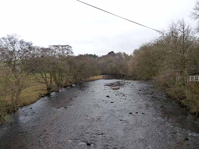
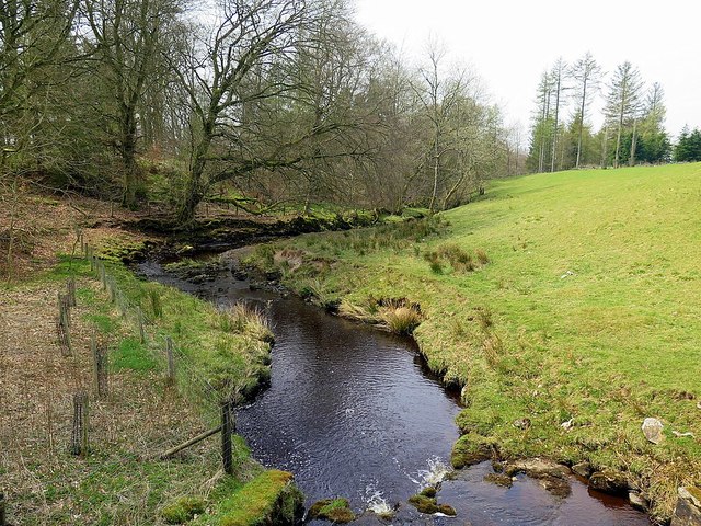
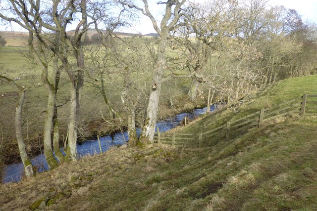
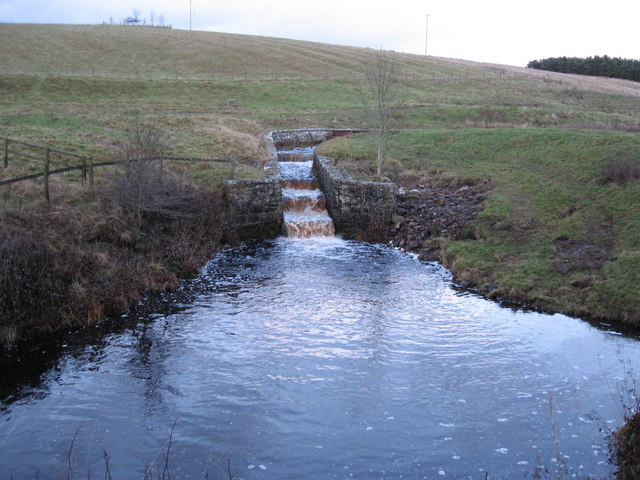
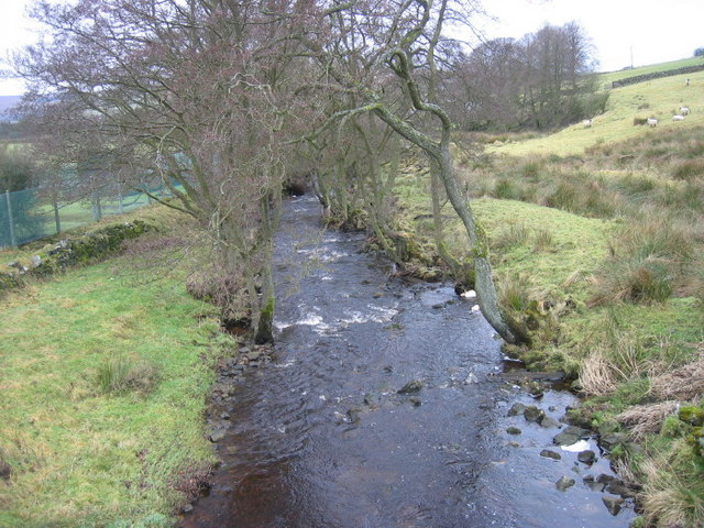
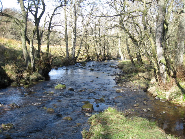
Lisles Burn is a river in Northumberland which is a tributary of the River Rede. Lisles Burn joins the River Rede near East Woodburn. The burn has a catchment area of 18.2 km2 and is 3.3 km long.[1]
Co-Curate Page
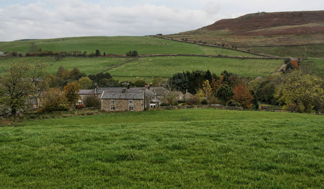
East Woodburn
- Overview Map Street View East Woodburn is a village in Northumberland, located about 14 miles north of Hexham and 4½ miles north-east of Bellingham. The settlement is situated by Lisles Burn, …
Co-Curate Page
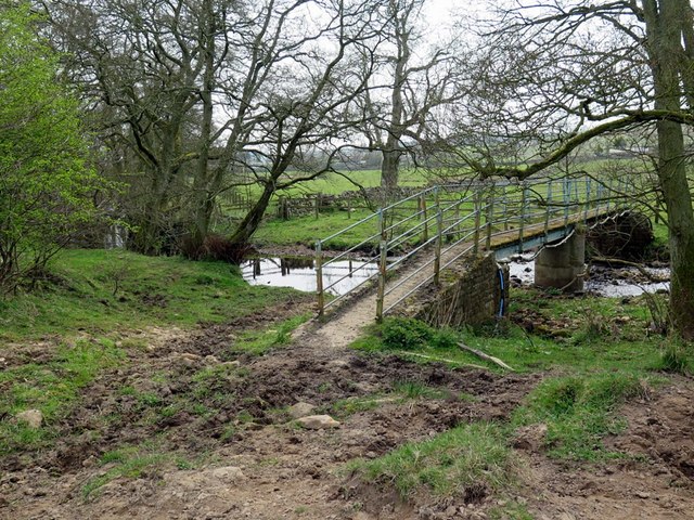
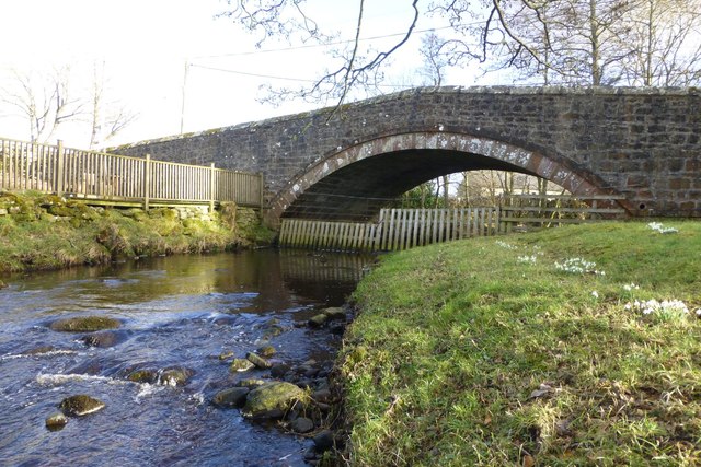
Chairford Bridge
- Overview Map Street View Chairford Bridge, in East Woodburn, carries the road over Lisles Burn. It is a stone hup-backed bridge, built in the early 19th century. Chairford Bridge is Grade …


Co-Curate Page
East Woodburn
- Overview Map Street View East Woodburn is a village in Northumberland, located about 14 miles north of Hexham and 4½ miles north-east of Bellingham. The settlement is situated by Lisles Burn, …