Topics > Tyne and Wear > Newcastle upon Tyne > Lemington > Lemington Gut
Lemington Gut
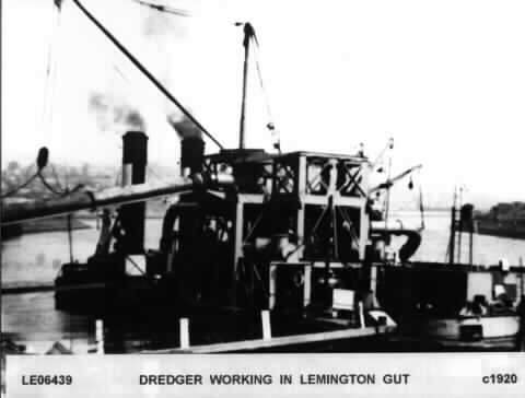
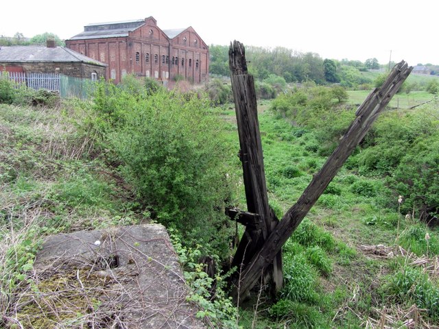
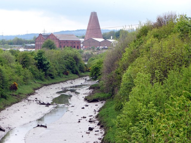
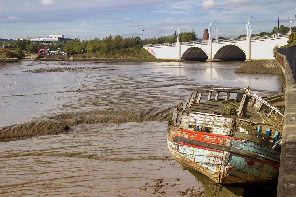
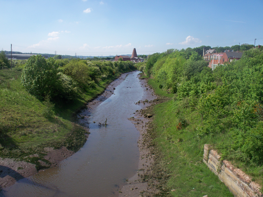
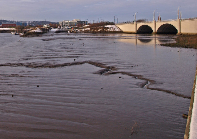
The River Tyne used to run closer to Lemington, until the Tyne Improvement Commission re-routed the river, making a shorter channel over the Blaydon Haugh. This re-routing left behind the stretch of water, known as "Lemington Gut", on the old course of the River Tyne.


from http://heddonhistory.weebly.c…
Lemington Staiths and Lemington Gut
- "As part of my research for the Puffing Billy Festival this summer I decided to see what I could find out about the eastern end of the Wylam Waggonway. This …
Added by
Pat Thomson
from Geograph (geograph)
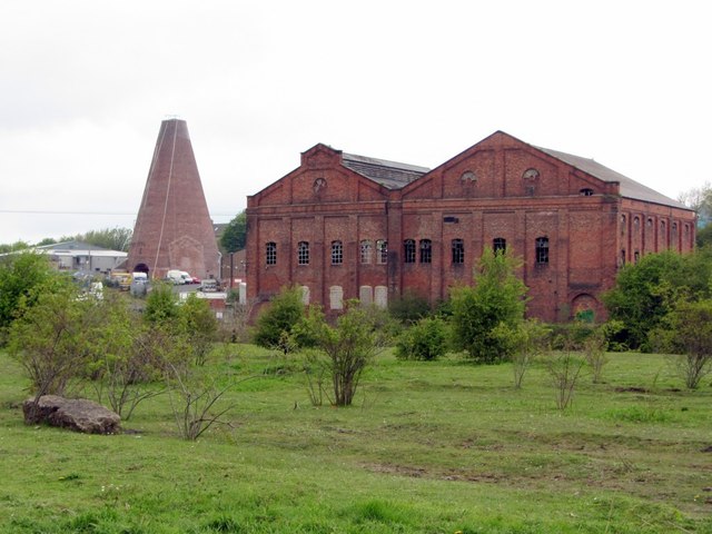
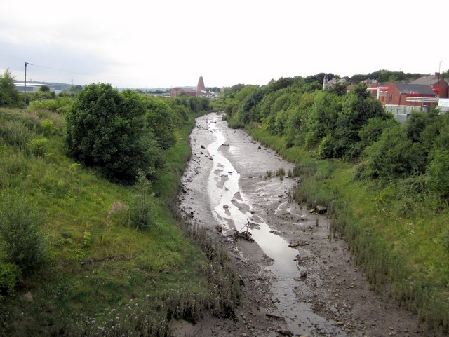
Lemington Glasworks Cone & former Power Station across Lemington Gut
Pinned by Pat Thomson

from http://heddonhistory.weebly.c…
Lemington Staiths and Lemington Gut
- "As part of my research for the Puffing Billy Festival this summer I decided to see what I could find out about the eastern end of the Wylam Waggonway. This …
Added by
Pat Thomson
from Geograph (geograph)
Lemington Glasworks Cone & former Power Station across Lemington Gut
Pinned by Pat Thomson