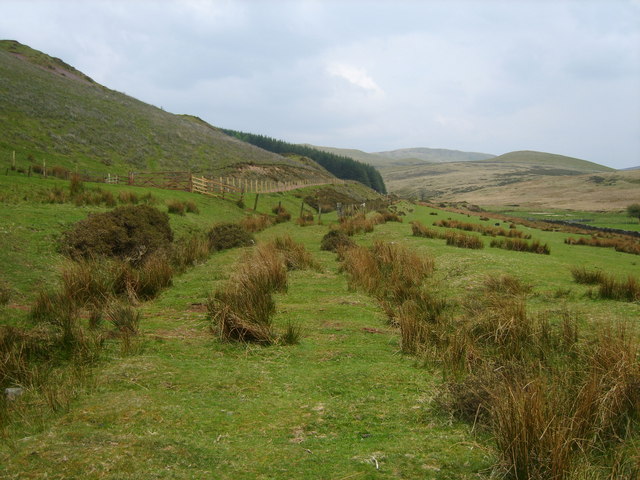
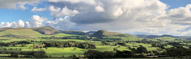
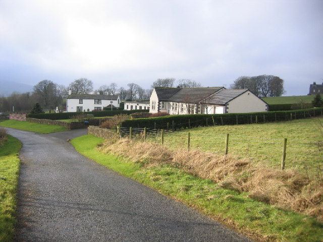
Topics > Civil Parishes in Cumbria > Lamplugh Civil Parish
Lamplugh Civil Parish
Area: 28.2 km²
Population:
745 (2021 Census)
805 (2011 Census)
763 (2001 Census)
Co-Curate Page
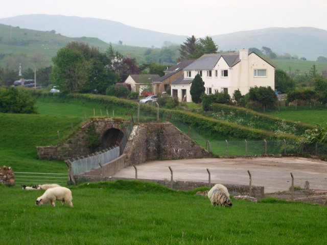
Kelton, Cumbria
- Overview Map Street View Kelton is an area to the east of Rowrah in the Copeland district of Cumbria. In the 19th and early 20th centuries there was extensive mining …
Co-Curate Page
Kirkland (Copeland)
- Overview About Kirkland Map Street View Kirkland is a small village near the A5086 road, in the Copeland district, in the English county of Cumbria. The nearest town is …
Co-Curate Page
Salter and Eskett
- Overview Map Street View The extra-parochial (not part of a parish) district / township of Salter and Eskett was in the south-west of the old county of Cumberland. Modern OS …

Co-Curate Page
Kelton, Cumbria
- Overview Map Street View Kelton is an area to the east of Rowrah in the Copeland district of Cumbria. In the 19th and early 20th centuries there was extensive mining …
Co-Curate Page
Kirkland (Copeland)
- Overview About Kirkland Map Street View Kirkland is a small village near the A5086 road, in the Copeland district, in the English county of Cumbria. The nearest town is …