Topics > Northumberland > Civil Parishes in Northumberland > Knarsdale with Kirkhaugh Civil Parish
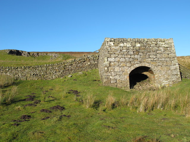
Knarsdale with Kirkhaugh Civil Parish
Area: 90.2 km²
Population:
258 (2021 Census)
279 (2011 Census)
318 (2001 Census)
from https://northumberlandparishe…
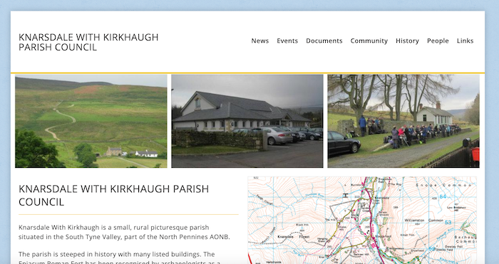
Knarsdale with Kirkhaugh Parish Council
- "Knarsdale With Kirkhaugh is a small, rural picturesque parish situated in the South Tyne Valley, part of the North Pennines AONB.
The parish is steeped in history with many listed …
Added by
Simon Cotterill
Co-Curate Page
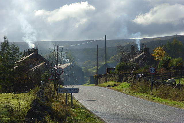
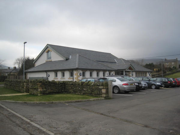
Slaggyford
- Overview About Slaggyford Map Street View Slaggyford is a village in Northumberland, England on the A689 road about 4 miles (6 km) north of Alston, Cumbria. The Maiden Way …
Co-Curate Page
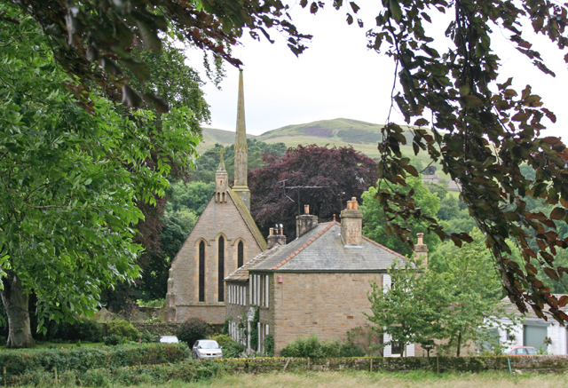
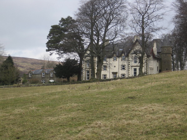
Knarsdale
- Overview About Knarsdale Map Street View Knarsdale is a village in Northumberland, located within the North Pennines Area of Natural Beauty, and near the River South Tyne. Knarsdale includes St …
Co-Curate Page
Kirkhaugh
- Overview Map Kirkhaugh is a distributed village and former civil parish in Northumberland, situated by the River South Tyne and located about 2½ miles north-west of Alston. The place name …
Co-Curate Page
Gilderdale
- Non-'official' Map of Gilderdale, modified from Gilderdale Burn Catchment Area (water body). Map also shows part of the Pennine Way / Issac's Tea Trail, which cuts across Gilderdale. Gilderdale is …
Co-Curate Page
Knar, Northumberland
- Overview Map Knar is a farm in Northumberland, located about 1 mile south-west of the village Slaggyford and 5 miles north-west of the town of Alston, in Cumbria. It is …
Co-Curate Page
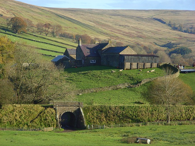
Hanging Shaw
- Overview Map Hanging Shaw is a remote farm in Northumberland, located about 1mile east of the village of Slaggyford and 5 miles north-west of Alston, Cumbria. There is a disused …
Co-Curate Page
Burnstones, Northumberland
- Overview Map Street View Burnstones is a hamlet in Northumberland, located off the A689 road, about 6 miles south-west of Haltwhistle and 5 miles north of Alston. The settlement is …
Co-Curate Page
Eals, Northumberland
- Overview Map Street View Eals is a hamlet situated by the River South Tyne in Northumberland, located about 5 miles south of Haltwistle and 6 miles north of Alston, Cumbria. …
Co-Curate Page
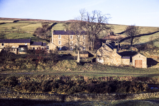
Blackcleugh (Knarsdale)
- Overview Map Blackcleugh is a farm in Northumberland, located about 1½ mile north-east of the village of Slaggyford and 3½ miles north of Alston. Blackcleugh is situated near the confluence …
Co-Curate Page
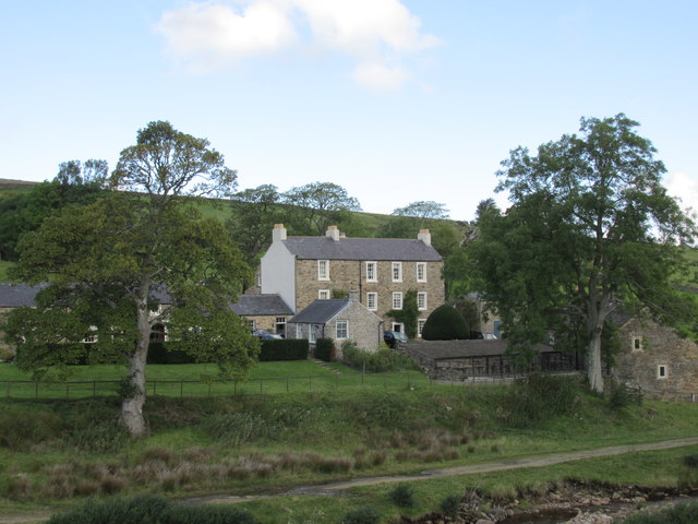
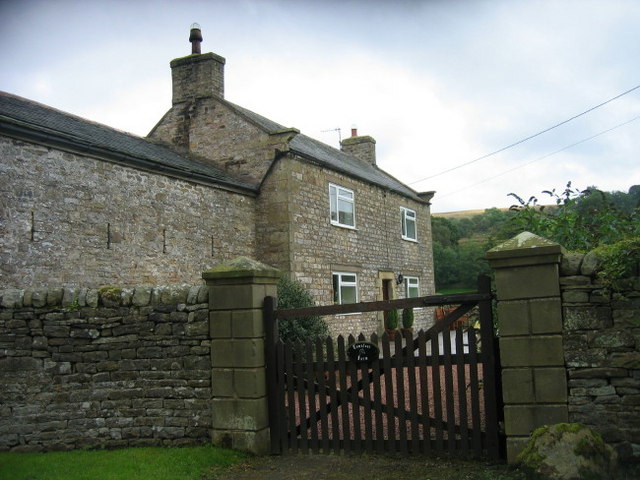
Barhaugh (Alston)
- Overview Map Barhaugh in Northumberland is located north of Alston. Barhaugh Hall and Barhaugh Park are situated by the confluence of Barhaugh Burn with the River South Tyne. Barhaugh was …

Co-Curate Page
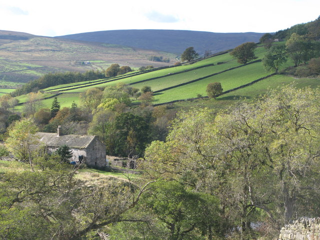
Williamston, Northumberland
- Overview Map Street View Williamston is a 1,000-acre hill farm in Northumberland, situated by the north banks of the River South Tyne, about ½ mile south-east of the village of …

Co-Curate Page
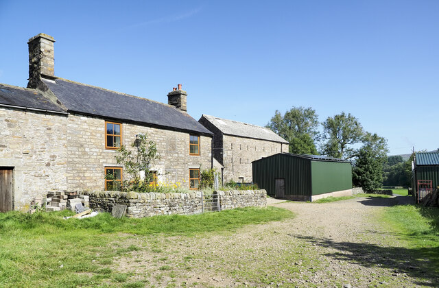
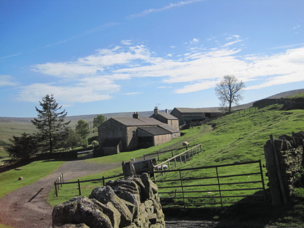
Parson Shields, Knarsdale
- Overview Map Parson Shields is a farm, located east of the River South Tyne, about half mile north-east of the village of Slaggyford and half mile south-east of Knarsdale village. …

from https://northumberlandparishe…
Knarsdale with Kirkhaugh Parish Council
- "Knarsdale With Kirkhaugh is a small, rural picturesque parish situated in the South Tyne Valley, part of the North Pennines AONB.
The parish is steeped in history with many listed …
Added by
Simon Cotterill
Co-Curate Page
Slaggyford
- Overview About Slaggyford Map Street View Slaggyford is a village in Northumberland, England on the A689 road about 4 miles (6 km) north of Alston, Cumbria. The Maiden Way …
Co-Curate Page
Knarsdale
- Overview About Knarsdale Map Street View Knarsdale is a village in Northumberland, located within the North Pennines Area of Natural Beauty, and near the River South Tyne. Knarsdale includes St …
Co-Curate Page
Kirkhaugh
- Overview Map Kirkhaugh is a distributed village and former civil parish in Northumberland, situated by the River South Tyne and located about 2½ miles north-west of Alston. The place name …
Co-Curate Page
Gilderdale
- Non-'official' Map of Gilderdale, modified from Gilderdale Burn Catchment Area (water body). Map also shows part of the Pennine Way / Issac's Tea Trail, which cuts across Gilderdale. Gilderdale is …
Co-Curate Page
Knar, Northumberland
- Overview Map Knar is a farm in Northumberland, located about 1 mile south-west of the village Slaggyford and 5 miles north-west of the town of Alston, in Cumbria. It is …
Co-Curate Page
Hanging Shaw
- Overview Map Hanging Shaw is a remote farm in Northumberland, located about 1mile east of the village of Slaggyford and 5 miles north-west of Alston, Cumbria. There is a disused …
Co-Curate Page
Burnstones, Northumberland
- Overview Map Street View Burnstones is a hamlet in Northumberland, located off the A689 road, about 6 miles south-west of Haltwhistle and 5 miles north of Alston. The settlement is …
Co-Curate Page
Eals, Northumberland
- Overview Map Street View Eals is a hamlet situated by the River South Tyne in Northumberland, located about 5 miles south of Haltwistle and 6 miles north of Alston, Cumbria. …
Co-Curate Page
Blackcleugh (Knarsdale)
- Overview Map Blackcleugh is a farm in Northumberland, located about 1½ mile north-east of the village of Slaggyford and 3½ miles north of Alston. Blackcleugh is situated near the confluence …
Co-Curate Page
Barhaugh (Alston)
- Overview Map Barhaugh in Northumberland is located north of Alston. Barhaugh Hall and Barhaugh Park are situated by the confluence of Barhaugh Burn with the River South Tyne. Barhaugh was …
Co-Curate Page
Williamston, Northumberland
- Overview Map Street View Williamston is a 1,000-acre hill farm in Northumberland, situated by the north banks of the River South Tyne, about ½ mile south-east of the village of …