Topics > Cumbria > Garsdale ('The Street') > Kirk Bridge, Garsdale
Kirk Bridge, Garsdale
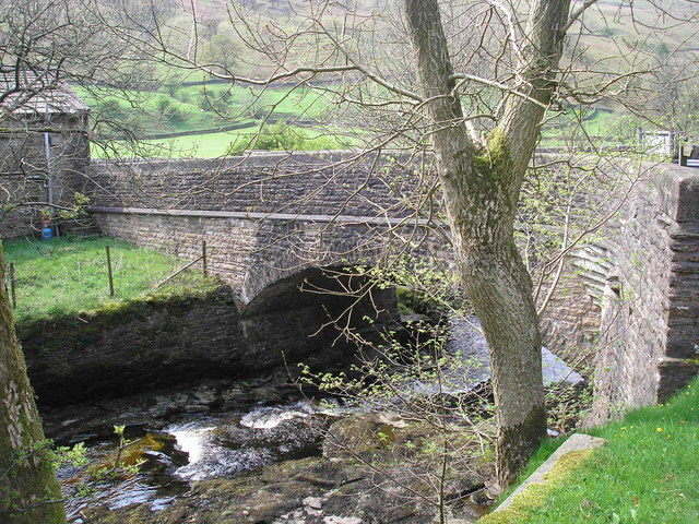
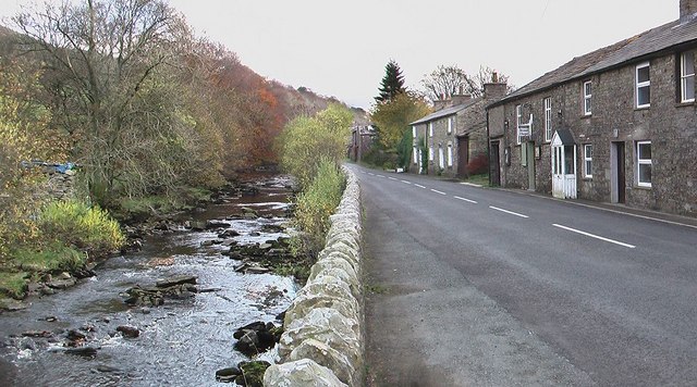
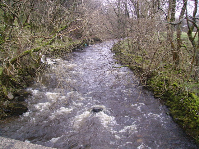
Kirk Bridge carries Hawes Road (the A684) over Clough River in Garsdale. The stone bridge dates from the late 17th or early 18th century. In 1834, the bridge was substantially widened on it's west side. There were major repairs and strengthening of the west side of the bridge in 1995.[1] Kirk Bridge is Grade II listed on the National Heritage List for England.
from Geograph (geograph)
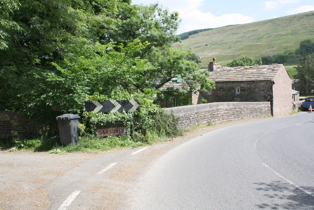
Kirk Bridge, the entry to Garsdale village from the west
Pinned by Simon Cotterill

from https://historicengland.org.u…
KIRK BRIDGE - Garsdale - List Entry
- Public road bridge over Clough River. Probably late C17 or early C18; more than doubled in width by addition to west side in 1834 (date on top of north-west terminal …
Added by
Simon Cotterill

from Geograph (geograph)
Kirk Bridge, the entry to Garsdale village from the west
Pinned by Simon Cotterill
from https://historicengland.org.u…
KIRK BRIDGE - Garsdale - List Entry
- Public road bridge over Clough River. Probably late C17 or early C18; more than doubled in width by addition to west side in 1834 (date on top of north-west terminal …
Added by
Simon Cotterill

List number: 1384030
List grade: 2
County: Cumbria
Grid ref: SD7450389625
Unitary Auth: Westmorland & Furness
List grade: 2
County: Cumbria
Grid ref: SD7450389625
Unitary Auth: Westmorland & Furness

