Topics > Northumberland > Civil Parishes in Northumberland > Kielder Civil Parish
Kielder Civil Parish
Area: 143.9 km²
Population:
194 (2021 Census)
218 (2011 Census)
207 (2001 Census)
Co-Curate Page
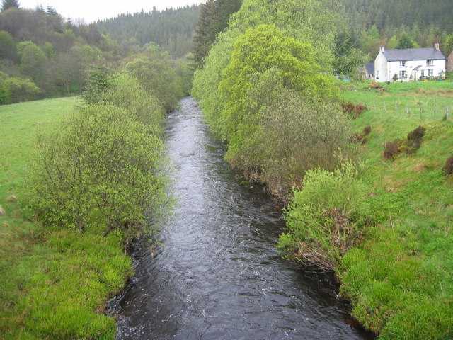
Deadwater, Northumberland
- Overview Map Street View Deadwater is a hamlet in Northumberland, located close to the border between England and Scotland, and about 3½ miles north-west of Kielder Water. It consists of …
Co-Curate Page
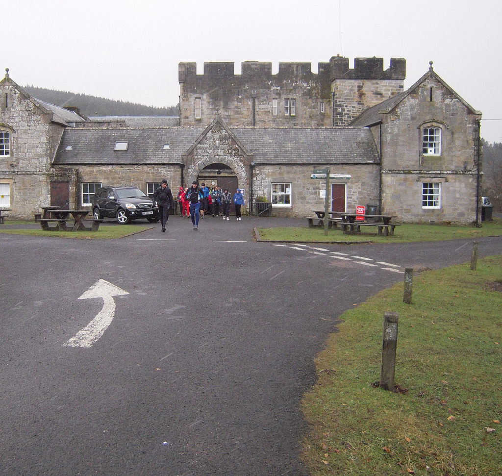
Kielder
- Overview About Kielder Map Street View Kielder Village is a small, remote village in western Northumberland, England. Located at the head of Kielder Water and in the north west …
Co-Curate Page
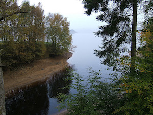
Kielder Water & Forest Park
- Overview About Kielder Water About Kielder Forest Map Street View Kielder Water is a resevoir in Northumberland, which is the largest artificial lake in the UK by water capacity. It …
Co-Curate Page
The Forks, Kielder Forest
- Overview Map The place where Akenshaw Burn joins Lewis Burn in Kielder Forest, is known as "The Forks". There are a couple of cottages here. The stone bridge over Lewis …

Co-Curate Page
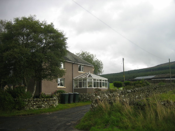
Bellsburnfoot
- Overview Map Street View Bellsburnfoot Cottage in Northumberland is located close to the England-Scotland border, a short distance west of where Bells Burn joins the River North Tyne. The site …

Co-Curate Page
Deadwater, Northumberland
- Overview Map Street View Deadwater is a hamlet in Northumberland, located close to the border between England and Scotland, and about 3½ miles north-west of Kielder Water. It consists of …
Co-Curate Page
Kielder
- Overview About Kielder Map Street View Kielder Village is a small, remote village in western Northumberland, England. Located at the head of Kielder Water and in the north west …
Co-Curate Page
Kielder Water & Forest Park
- Overview About Kielder Water About Kielder Forest Map Street View Kielder Water is a resevoir in Northumberland, which is the largest artificial lake in the UK by water capacity. It …
Co-Curate Page
The Forks, Kielder Forest
- Overview Map The place where Akenshaw Burn joins Lewis Burn in Kielder Forest, is known as "The Forks". There are a couple of cottages here. The stone bridge over Lewis …
Co-Curate Page
Bellsburnfoot
- Overview Map Street View Bellsburnfoot Cottage in Northumberland is located close to the England-Scotland border, a short distance west of where Bells Burn joins the River North Tyne. The site …

GSS code: E04010814


