Topics > Geography > Rivers > River South Tyne > Honeycrook Burn (trib. River South Tyne)
Honeycrook Burn (trib. River South Tyne)
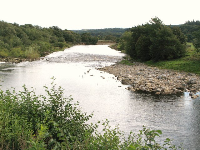
Honeycrook Burn is a tributory of the River South Tyne, probably arising near Muckle Moss. It initially flows roughly eastwards in parallel with Stanegate, than, after Seldom Seen (farm) it flows south-easterly for about a mile. Then, for the majority of it's course, Honeycrook Burn flows in a roughly south-westerly direction, including a section of the Burn which was diverted for Langley Barony Lead Mine. The Burn joins the River South Tyne about 2 miles west of Haydon Bridge.


from Geograph (geograph)
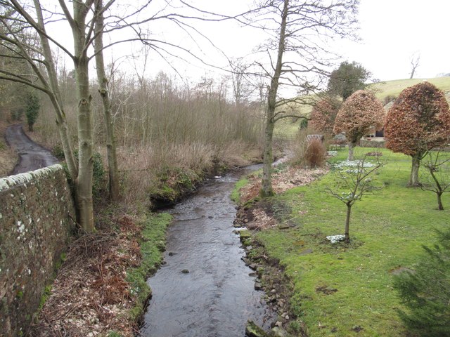
Bridge over Honeycrook Burn near Standalone Cottage
Pinned by Simon Cotterill


from Geograph (geograph)
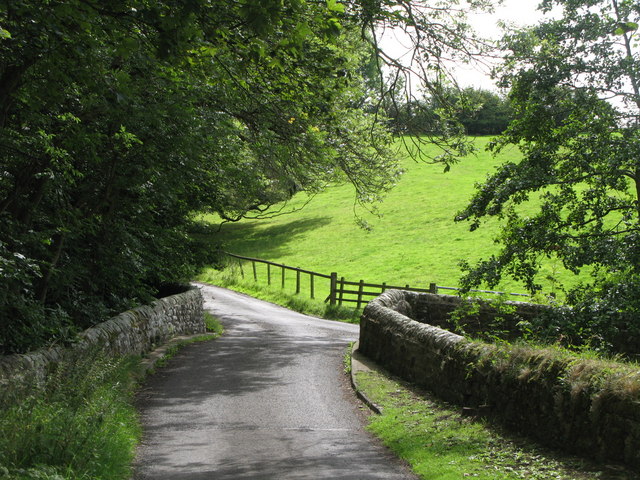
Langley Barony Lead Mine - wall diverting Honeycrook Burn
Pinned by Simon Cotterill


Co-Curate Page
Seldom Seen, Haydon Bridge
- Overview Map Seldom Seen is a farm in Northumberland, located off Stanegate, about 2½ miles NNW of Haydon Bridge. The farm is situated by Honeycrook Burn. To the north-west of …

Co-Curate Page
Langley Barony Lead Mine
- Overview Map The remains of Langley Barony Mines are located about 2½ miles north-west of Haydon Bridge. The mine, with several adict shafts, covered a wide geographical area and is …

from Geograph (geograph)
Bridge over Honeycrook Burn near Standalone Cottage
Pinned by Simon Cotterill
from Geograph (geograph)
Langley Barony Lead Mine - wall diverting Honeycrook Burn
Pinned by Simon Cotterill
Co-Curate Page
Seldom Seen, Haydon Bridge
- Overview Map Seldom Seen is a farm in Northumberland, located off Stanegate, about 2½ miles NNW of Haydon Bridge. The farm is situated by Honeycrook Burn. To the north-west of …